Near Harlowton in Wheatland County, Montana — The American West (Mountains)
The Crazy Mountains
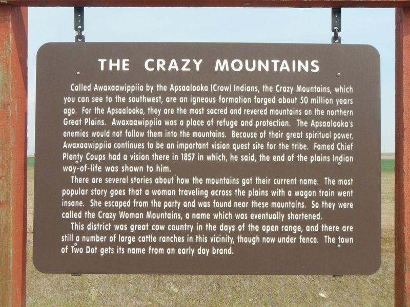
Photographed by Barry Swackhamer, July 17, 2021
1. The Crazy Mountains Marker
Called Awaxaawippiia by the Apsaalooka (Crow) Indians, the Crazy Mountains, which you can see to the southwest, are an igneous formation forged about 50 million years ago. For the Apsaalooka, they are the most sacred and revered mountains on the northern Great Plains. Awaxaawippiia was a place of refuge and protection. The Apsaalooka's enemies would not follow them into the mountains. Because of their great spiritual power, Awaxaawippiia continues to be an important vision quest site for the tribe. Famed Chief Plenty Coups had a vision there in 1857 in which, he said, the end of the plains Indian way-of-life was shown to him.
There are several stories about how the mountains got their current name. The most popular story goes that a woman traveling across the plains with a wagon train went insane. She escaped from the party and was found near these mountains. So they were called the Crazy Woman Mountains, a name which was eventually shortened.
This district was great cow country in the days of the open range, and there are still a number of large cattle ranches in this vicinity, though now under fence. The town
this page online
Erected by Montand Department of Transportation.
Topics. This historical marker is listed in these topic lists: Natural Features • Religion & Religious Structures. A significant historical year for this entry is 1857.
Location. 46° 26.773′ N, 109° 56.318′ W. Marker is near Harlowton, Montana, in Wheatland County. It is on U.S. 12 near Mexican John Road/ Muskrat Trail, on the right when traveling west. Touch for map. Marker is at or near this postal address: 9437 U.S Highway 12, Harlowton MT 59036, United States of America. Touch for directions.

Regionally, this marker is in Central Montana. It is also in the American Mountain West and in the Lewis & Clark Corridor. Globally, it is in North America, the Rocky Mountains, the Western Hemisphere, the Western World, and the Anglosphere. Historically, it finds itself in what was once Rupert’s Land and also the Louisiana Purchase.
Other nearby markers. At least 2 other markers are within 5 miles of this marker, measured as the crow flies: Paleocene Mammals and Albert Silberling (here, next to this marker); E57B The Last Electric Locomotive
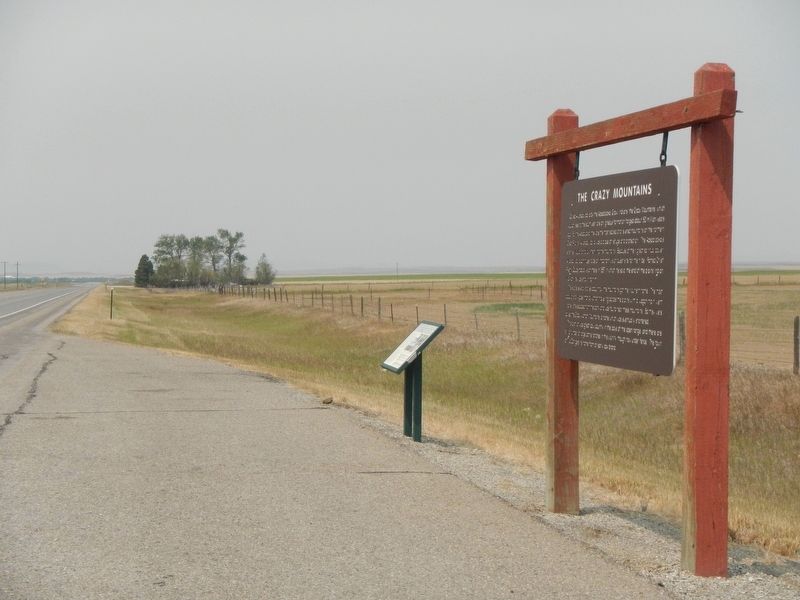
Photographed by Barry Swackhamer, July 17, 2021
2. The Crazy Mountains Marker
Credits. This page was last revised on December 28, 2024. It was originally submitted on December 26, 2021, by Barry Swackhamer of Brentwood, California. This page has been viewed 519 times since then and 55 times this year. Photos: 1, 2. submitted on December 26, 2021, by Barry Swackhamer of Brentwood, California.
