San Juan Capistrano in Orange County, California — The American West (Pacific Coastal)
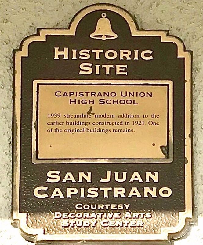
Capistrano Union High School
Historic Site
| — | San Juan Capistrano | — |
Photographed by Adam Margolis
1. Capistrano Union High School Marker
Topics. This historical marker is listed in this topic list: Education.
Location. 33° 30.39′ N, 117° 39.872′ W. Marker is in San Juan Capistrano, California, in Orange County. It is on Camino Capistrano, on the right when traveling north. Touch for map. Marker is in this post office area: San Juan Capistrano CA 92675, United States of America. Touch for directions.

Regionally, this marker is in Greater Los Angeles and in the Peninsular Ranges. It is also on the American Pacific Coast. Globally, it is in North America, on the Ring of Fire, on the Pacific Rim, in the Western Hemisphere, in the Western World, and in the Anglosphere. Historically, it finds itself in what was once New Spain and also Mexico’s Alta California.
Other nearby markers. At least 8 other markers are within walking distance of this marker: The Villa (within shouting distance of this marker); Mission Yard & Reservoir Site (about 700 feet away, measured in a direct line); San Juan Capistrano Regional Library
this page online
Photographed by Adam Margolis
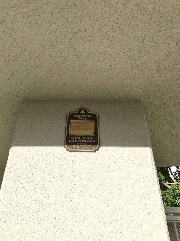
2. Capistrano Union High School Marker
Photographed by Adam Margolis
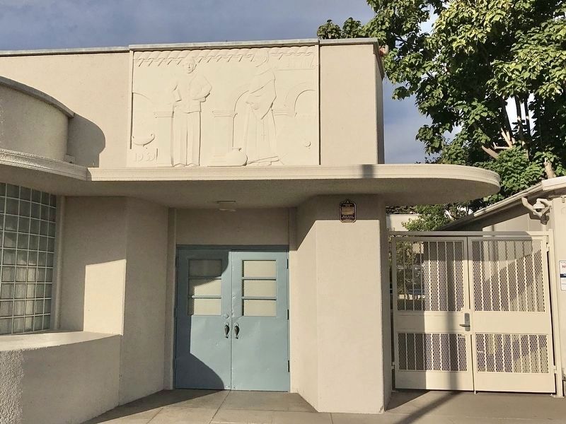
3. Capistrano Union High School Marker
The marker is to the right of the door, under the overhang.
Credits. This page was last revised on December 31, 2021. It was originally submitted on December 26, 2021, by Adam Margolis of Mission Viejo, California. This page has been viewed 594 times since then and 52 times this year. Photos: 1, 2, 3. submitted on December 26, 2021, by Adam Margolis of Mission Viejo, California. • Andrew Ruppenstein was the editor who published this page.
