Chapa de Mota, Mexico State, Mexico — The Central Highlands (North America)
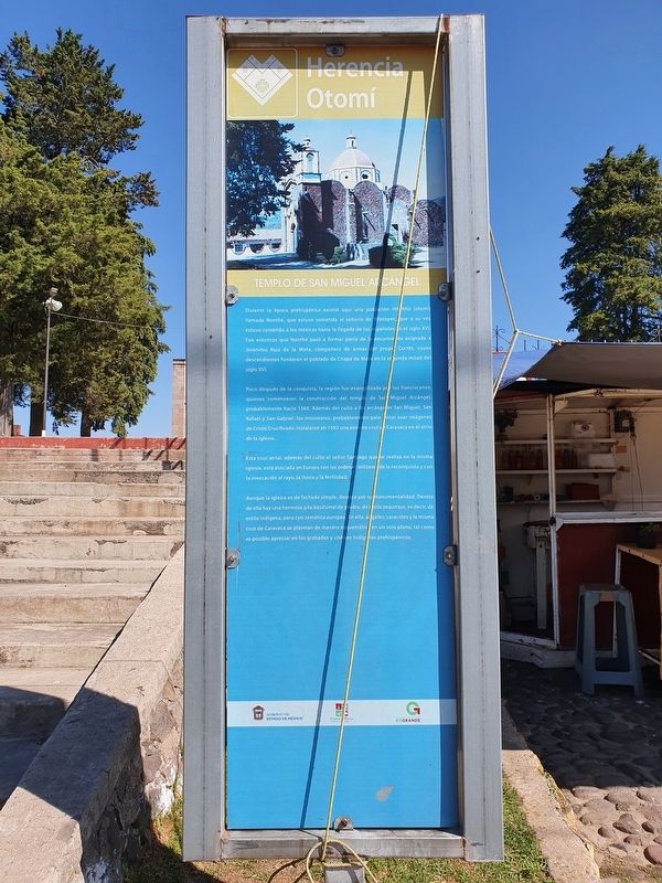
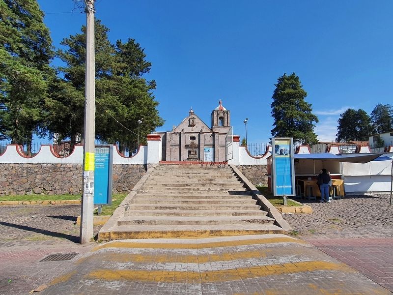
Church of San Miguel Arcángel
Durante la época prehispánica existió aquí una población Hñahñú (Otomí) llamada Nonthé, que estuvo sometida al señorio de Xilotepec, que a su vez estuvo sometido a los mexicas hasta la llegada de los españoles en el siglo XVI. Fue entonces que Nonthé pasó a formar parte de la encomienda asignada a Jerónimo Ruiz de la Mota, compañero de armas del propio Cortés, cuyos descendientes fundaron el poblado de Chapa de Mota en la segunda mitad del siglo XVI.
Esta cruz atrial, además del culto al señor Santiago que se realiza en la misma iglesia, está asociada en Europa con las órdenes militares de la reconquista y con la invocación al rayo, la lluvia y la fertilidad.
Aunque la iglesia es de fachada simple, destaca por su monumentalidad. Dentro de ella hay una hermosa pila bautismal de piedra, de estilo tequitqui, es decir, de estilo indígena, pero con temática europea. En ella, ángeles, caracoles y la misma cruz de Caravaca se plasman de manera esquemática en un solo plano, tal como es posible apreciar en los grabados y códices indígenas más prehispánicos.
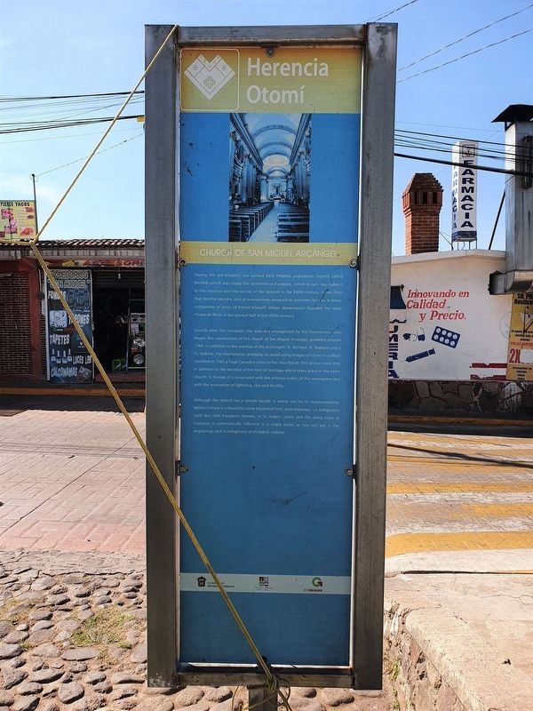
Church of San Miguel Arcángel
During the pre-Hispanic era existed here Hñahñú population (otomí) called Nonthé, which was under the dominion of Xilotepec, which in turn was subject to the mexicas until the arrival of the Spanish in the XVIth century. It was then that Nonthé became part of the entrustment assigned to Jerónimo Ruiz de la Mota, companion in arms of Cortés himself, whose descendants founded the town Chapa de Mota in the second half of the XVIth century.
Shortly after the conquest, the área was evangelized by the Franciscans, who began the construction of the church of San Miguel Arcángel, probably around 1560. In addition to the worship of the archangels St. Michael, St. Raphael and a St. Gabriel, the missionaries, probably to avoid using images of Christ Crucified, installed in 1563 a huge Caravaca cross in the churchyard. This atrium cross that in addition to the worship of the lord of Santiago which takes place in the same church, in Europe it is associated with the military orders of the reconquest and with the invocation of lightning, rain and fertility.
Although the church has a simple facade, it stands out for its monumentality. Within it there is a beautiful stone baptismal font, style tequitqui, i.e. indigenous style buty with European themes. In it, angels, snails and the same cross of Caravaca is schematically reflected in a single plane,
as you can see in the engravings and in indigenous prehispanic codexes.
Erected by Gobierno del Estado de México.
Topics. This historical marker is listed in these topic lists: Churches & Religion • Colonial Era. A significant historical year for this entry is 1560.
Location. 19° 48.879′ N, 99° 31.616′ W. Marker is in Chapa de Mota, Estado de Mexico (Mexico State). Marker is on Francisco Sarabia just south of Emiliano Zapata, on the left when traveling south. Touch for map. Marker is in this post office area: Chapa de Mota MEX 54350, Mexico. Touch for directions.
Other nearby markers. At least 8 other markers are within 16 kilometers of this marker, measured as the crow flies. Children Heroes Memorial (about 120 meters away, measured in a direct line); Old City Hall (approx. 11.7 kilometers away); Hidalgo Plaza and Los Portales (approx. 11.7 kilometers away); Bicentennial Tree (approx. 11.7 kilometers away); Church of the Virgen de la Peña de Francia (approx. 11.7 kilometers away); Constituent Congress of 1856-1857 (approx. 11.8 kilometers away); Parish Church of San Bartolomé el Apóstol (approx. 15.1 kilometers away); Miguel Hidalgo y Costilla (approx. 15.1 kilometers away).
Credits. This page was last revised on December 27, 2021. It was originally submitted on December 26, 2021, by J. Makali Bruton of Accra, Ghana. This page has been viewed 54 times since then and 4 times this year. Photos: 1, 2, 3. submitted on December 26, 2021, by J. Makali Bruton of Accra, Ghana.


