Near Tecopa in Inyo County, California — The American West (Pacific Coastal)
Original Tecopa Town Site
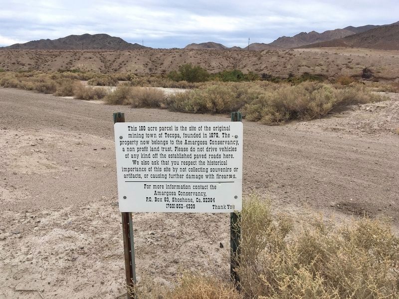
This 160 acre parcel is the site of the original mining town of Tecopa, founded in 1878. The property now belongs to the Amargosa Conservancy, a non profit land trust. Please do not drive vehicles of any kind off the established paved roads here. We also ask that you respect the historical importance of this site by not collecting souvenirs or artifacts, or causing further damage with firearms. For more information contact the Amargosa Conservancy, P.O.Box 63, Shoshone CA 92384
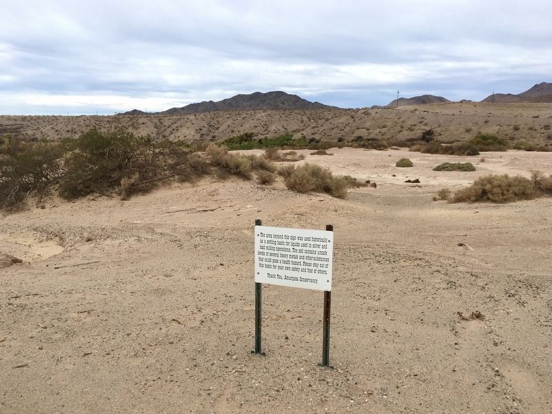
panel 2:
The area beyond this sign was used historically as a setling basin for liquids used in silver and lead milling operations. The soil contains unsafe levels of several heavy metals and other substances that could pose a health hazard. Please stay out of this basin for your own safety and that of others. Thank you, Amargosa Conservancy.
Erected by Amargosa Conservancy.
Topics. This historical marker is listed in these topic lists: Industry & Commerce • Settlements & Settlers. A significant historical year for this entry is 1878.
Location. 35° 47.982′ N, 116° 6.055′ W. Marker is near Tecopa, California, in Inyo County. Marker is on Western Talc Road, 0.2 miles west of Furnace Creek Road, on the right when traveling west . High ground clearance vehicle required. Touch for map. Marker is in this post office area: Tecopa CA 92389, United States of America. Touch for directions.
Other nearby markers. At least 6 other markers are within 16 miles of this marker, measured as the crow flies. China Ranch (approx. 5.3 miles away); Salt Creek Hills (approx. 14.9 miles away); Dublin Gulch (approx. 15.3 miles away); Shoshone (approx. 15.4 miles away); Harry Wade Exit Route (approx. 15.7 miles away); Salt Creek (approx. 15.9 miles away).
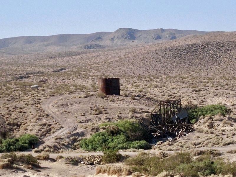
Regarding Original Tecopa Town Site. The town began as a mill to process the ore from mines near Noonday and was located 5 miles southeast of Resting Springs. William D. and Robert D. Brown, brothers, founded the town in the 1870’s and named it Brownsville. When Jonas Osborne bought out the Browns, he renamed the town after Indian Chief Tecopa. In 1907, the town was moved 9 miles west to its current location so that it would be closer to the new Tonopah & Tidewater Railroad.
Also see . . . Amargosa Conservancy. (Submitted on December 27, 2021.)
Credits. This page was last revised on December 30, 2021. It was originally submitted on December 27, 2021, by Craig Baker of Sylmar, California. This page has been viewed 273 times since then and 54 times this year. Photos: 1, 2, 3. submitted on December 27, 2021, by Craig Baker of Sylmar, California.


