Near Wetumpka in Elmore County, Alabama — The American South (East South Central)
Wetumpka Impact Crater
Educational Viewpoint #4
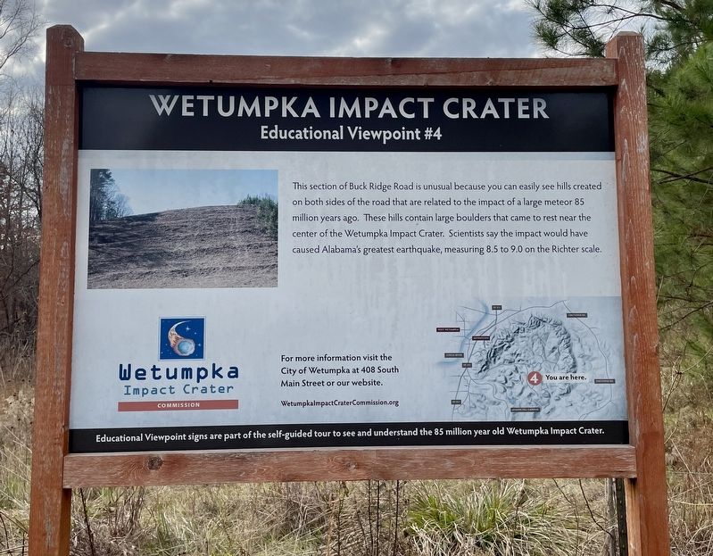
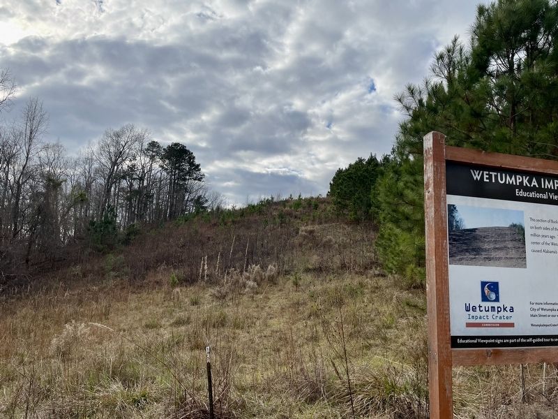
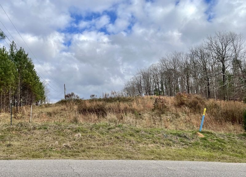
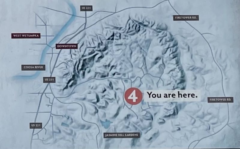
This section of Buck Ridge Road is unusual because you can easily see hills created on both sides of the road that are related to the impact of a large meteor 85 million years ago. These hills contain large boulders that came to rest near the center of the Wetumpka Impact Crater. Scientists say the impact would have caused Alabama's greatest earthquake, measuring 8.5 to 9.0 on the Richter scale.
Educational Viewpoint signs are part of the self-guided tour to see and understand the 85 million year old Wetumpka Impact Crater.
Erected 2019 by the Wetumpka Impact Crater Commission. (Marker Number 4.)
Topics. This historical marker is listed in this topic list: Notable Events.
Location. 32° 31.266′ N, 86° 10.411′ W. Marker is near Wetumpka, Alabama, in Elmore County. Marker is on Buck Ridge Road, 0.3 miles south of Harrogate Springs Road, on the right when traveling south. Touch for map. Marker is in this post office area: Wetumpka AL 36092, United States of America. Touch for directions.
Other nearby markers. At least 8 other markers are within 3 miles of this marker, measured as the crow flies. A different marker also named Wetumpka Impact Crater (approx. 0.2 miles away); a different marker also named Wetumpka Impact Crater (approx. ¾ mile away); a different marker also named Wetumpka Impact Crater (approx. 1½ miles away); a different marker also named Wetumpka Impact Crater (approx. 1.9 miles away); Williams Lowndes Yancey (approx. 1.9 miles away); a different marker also named Wetumpka Impact Crater (approx. 2 miles away); Elmore County Korean War Memorial (approx. 2.1 miles away); Wetumpka Historical Marker (approx. 2.1 miles away). Touch for a list and map of all markers in Wetumpka.
Related markers. Click here for a list of markers that are related to this marker.
Also see . . . Wetumpka Impact Crater Commission. Website homepage (Submitted on December 27, 2021, by Mark Hilton of Montgomery, Alabama.)
Credits. This page was last revised on June 5, 2022. It was originally submitted on December 27, 2021, by Mark Hilton of Montgomery, Alabama. This page has been viewed 597 times since then and 58 times this year. Photos: 1, 2, 3, 4. submitted on December 27, 2021, by Mark Hilton of Montgomery, Alabama.


