Riverview in Tulsa in Tulsa County, Oklahoma — The American South (West South Central)
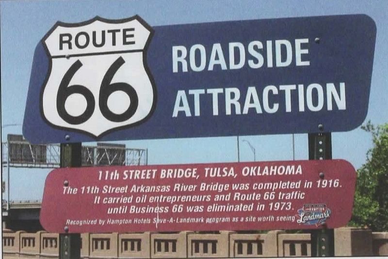
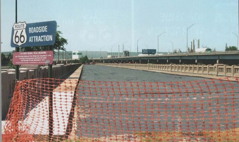
11th Street Bridge, Tulsa, Oklahoma
Route 66 Roadside Attraction
Recognized by Hampton Hotels Save-a-Landmark program as a site worth seeing
Erected 2003 by Hampton Hotels Save-a-Landmark program.
Topics and series. This historical marker is listed in these topic lists: Bridges & Viaducts • Roads & Vehicles. In addition, it is included in the Route 66 Roadside Attractions, and the U.S. Route 66 series lists. A significant historical year for this entry is 1916.
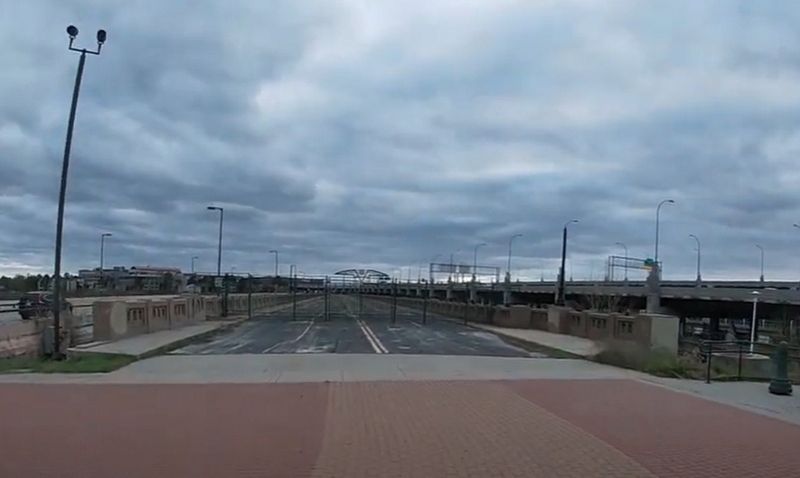
Location. Marker has been permanently removed. It was located near 36° 8.657′ N, 96° 0.193′ W. Marker was in Tulsa, Oklahoma, in Tulsa County. It was in Riverview. Marker was on Southwest Boulevard (Old U.S. 66) south of Riverside Drive, on the right when traveling west. Marker was located at the east entrance of the old bridge. Touch for map. Marker was at or near this postal address: 1399 US Rte 66, Tulsa OK 74127, United States of America.
We have been informed that this sign or monument is no longer there and will not be replaced. This page is an archival view of what was.
Other nearby markers. At least 8 other markers are within walking distance of this location. "East Meets West" (within shouting distance of this marker); Cyrus Stevens Avery (within shouting distance of this marker); Cyrus Avery Route 66 Memorial Bridge (within shouting distance of this marker); The Bridge Builder (within shouting distance of this marker); Tulsa's 11th Street Bridge (within shouting distance of this marker); The Bridge that Saved Tulsa (within shouting distance of this marker); a different marker also named Tulsa's 11th Street Bridge (within shouting distance of this marker); Oil Capital Motel (approx. 0.3 miles away). Touch for a list and map of all markers in Tulsa.
Regarding 11th Street Bridge, Tulsa, Oklahoma. Photos were taken by Route 66 photographer David Wickline, from his book Images of 66, Volume 2: Digging Deeper. Used with Mr. Wickline's permission.
Also see . . . 11th Street Bridge on Wikipedia. The bridge was added to the National Register of Historic Places in 1996, and was renamed the Cyrus Avery Route 66 Memorial Bridge in 2004. It has been closed to vehicular traffic since 1980 and pedestrians since 2008. (Submitted on December 29, 2021, by Jason Voigt of Glen Carbon, Illinois.)
Credits. This page was last revised on February 16, 2023. It was originally submitted on December 29, 2021, by Jason Voigt of Glen Carbon, Illinois. This page has been viewed 310 times since then and 29 times this year. Photos: 1, 2. submitted on December 29, 2021, by Jason Voigt of Glen Carbon, Illinois. 3. submitted on December 30, 2021, by Jason Voigt of Glen Carbon, Illinois.


