Lincolnia near Alexandria in Fairfax County, Virginia — The American South (Mid-Atlantic)
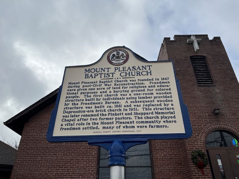
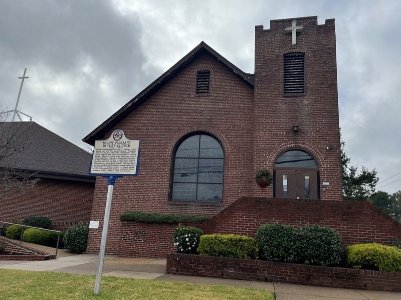
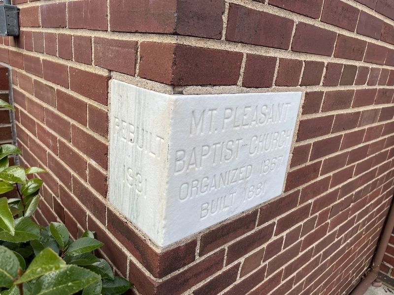
Mount Pleasant Baptist Church
Erected 2017 by Fairfax County History Commission.
Topics and series. This historical marker is listed in these topic lists: African Americans • Churches & Religion • Settlements & Settlers. In addition, it is included in the Virginia, Fairfax County History Commission series list. A significant historical year for this entry is 1867.
Location. 38° 50.153′ N, 77° 9.46′ W. Marker is near Alexandria, Virginia, in Fairfax County. It is in Lincolnia. Marker is on Lincolnia Road (Virginia Route 613) just south of Old Columbia Pike (County Road 712), on the right when traveling south. Touch for map. Marker is at or near this postal address: 6477 Lincolnia Rd, Alexandria VA 22312, United States of America. Touch for directions.
Other nearby markers. At least 8 other markers are within 2 miles of this marker, measured as the crow flies. Mason’s Hill (approx. 0.3 miles away); Historic Green Spring (approx. 0.8 miles away); a different marker also named Mason's Hill (approx. 0.8 miles away); Action At Annandale (approx. 1.6 miles away); Bailey’s Crossroads Civil War Engagements (approx. 1.7 miles away); J.E.B. Stuart at Munson’s Hill (approx. 1.7 miles away); Lincoln Reviews Troops at Bailey's Cross Roads (approx. 1.8 miles away); Bailey’s Crossroads (approx. 2 miles away).

Photographed By Devry Becker Jones (CC0), December 31, 2021
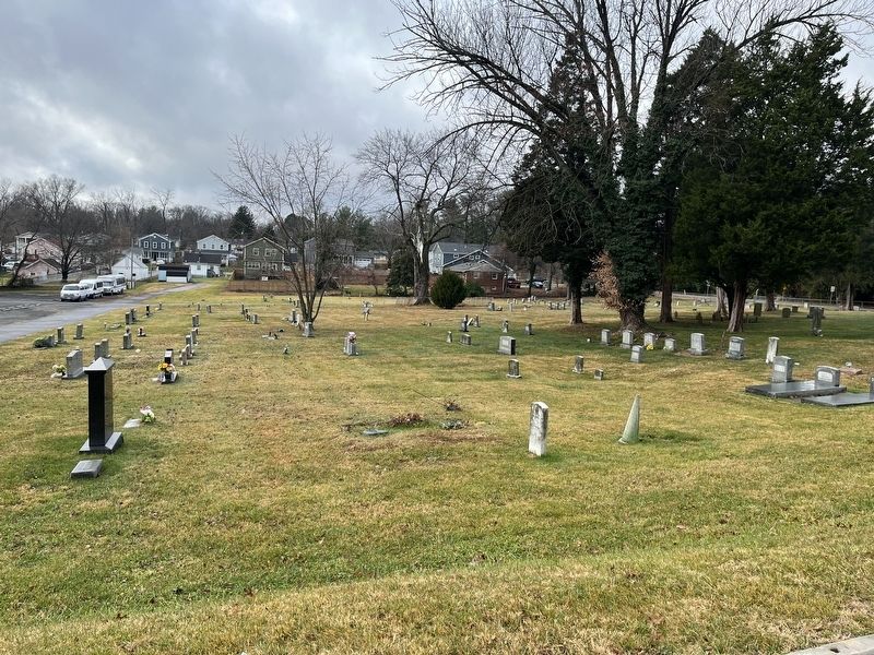
3. The burial ground directly behind the church
Credits. This page was last revised on July 17, 2023. It was originally submitted on December 31, 2021, by Devry Becker Jones of Washington, District of Columbia. This page has been viewed 276 times since then and 47 times this year. Photos: 1, 2, 3, 4. submitted on December 31, 2021, by Devry Becker Jones of Washington, District of Columbia.


