Columbia in Maury County, Tennessee — The American South (East South Central)
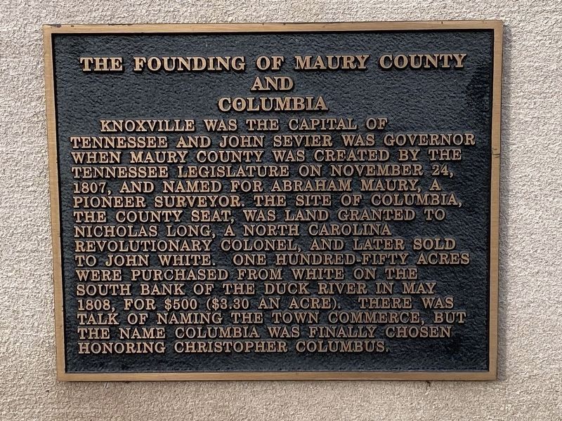
The Founding of Maury County and Columbia
Inscription.
Knoxville was the capital of Tennessee and John Sevier was Governor when Maury County was created by the Tennessee Legislature on November 24, 1807, and named for Abram Maury, a pioneer surveyor. The site of Columbia, the county seat, was land granted to Nicholas Long, a North Carolina Revolutionary Colonel, and later sold to John White. One hundred-fifty acres were purchased from White on the south bank of the Duck River in May 1808, for $500 ($3.30 an acre). There was talk of naming the town Commerce, but the name Columbia was finally chosen honoring Christopher Columbus.
Topics. This historical marker is listed in this topic list: Settlements & Settlers. A significant historical date for this entry is November 24, 1807.
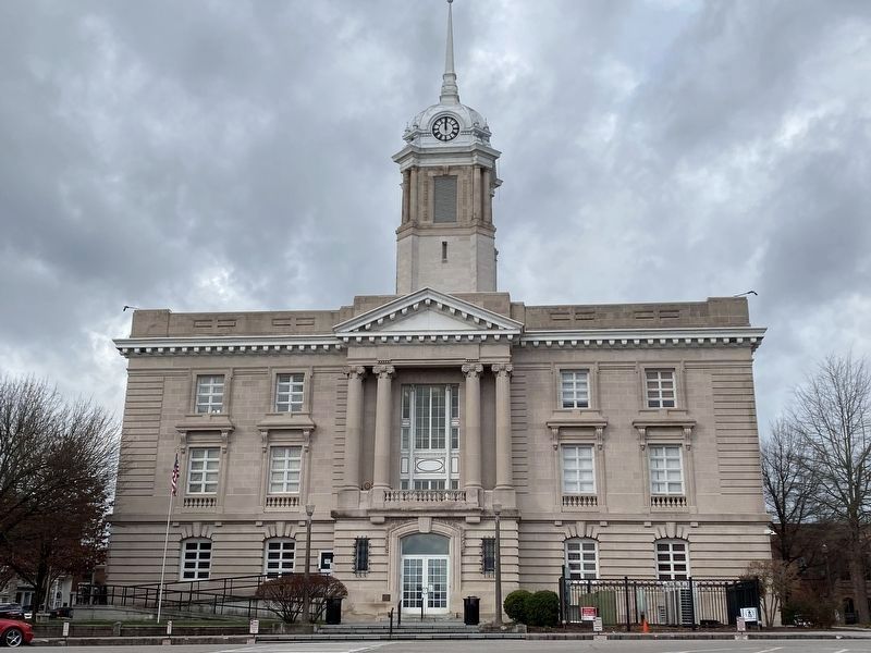
Location. 35° 36.888′ N, 87° 2.026′ W. Marker is in Columbia, Tennessee, in Maury County. Marker is on Public Square, on the left when traveling north. Touch for map. Marker is at or near this postal address: 41 Public Sq, Columbia TN 38401, United States of America. Touch for directions.
Other nearby markers. At least 8 other markers are within walking distance of this marker. Andrew Johnson (a few steps from this marker); James Edwin R. Carpenter (a few steps from this marker); James K. Polk (within shouting distance of this marker); Maury County War Memorial (within shouting distance of this marker); Nathan Vaught (within shouting distance of this marker); The Forrest-Gould Affair (within shouting distance of this marker); Nelson House Hotel (about 400 feet away, measured in a direct line); Freedmen's Savings Bank and Trust Company (about 500 feet away). Touch for a list and map of all markers in Columbia.
Credits. This page was last revised on January 2, 2022. It was originally submitted on January 1, 2022, by Darren Jefferson Clay of Duluth, Georgia. This page has been viewed 339 times since then and 36 times this year. Photos: 1, 2. submitted on January 1, 2022, by Darren Jefferson Clay of Duluth, Georgia. • Mark Hilton was the editor who published this page.

