Reagan Wells in Uvalde County, Texas — The American South (West South Central)
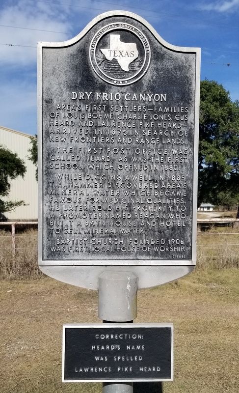
Dry Frio Canyon
The first post office was called Heard, as was the first school which opened in 1880.
While digging a well in 1885, T.H. Hammer discovered area's mineral water which became famous for medicinal qualities. He later sold his property to a promoter named Reagan who built a bath house and hotel to sell mineral water.
Baptist church, founded 1906, was first local house of worship.
2nd Plaque
Heard's Name
Was Spelled
Lawrence Pike Heard
Erected 1968 by State Historical Survey Committee. (Marker Number 1288.)
Topics. This historical marker is listed in these topic lists: Science & Medicine • Settlements & Settlers. A significant historical year for this entry is 1875.
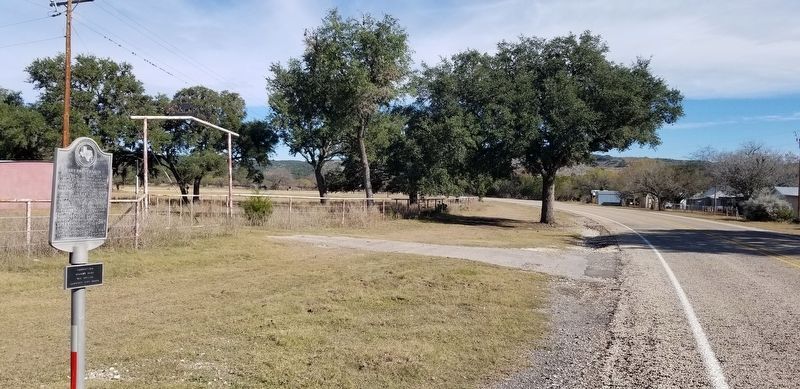
Location. 29° 32.284′ N, 99° 50.418′ W. Marker is in Reagan Wells, Texas, in Uvalde County. Marker is on Ranch to Market Road 1051, 8½ miles north of U.S. 83, on the right when traveling west. The marker is located along the highway. Touch for map. Marker is at or near this postal address: 7802 Ranch Road 1051, Uvalde TX 78801, United States of America. Touch for directions.
Other nearby markers. At least 8 other markers are within 11 miles of this marker , measured as the crow flies. Civilian Conservation Corps at Garner State Park (approx. 7.2 miles away); Saltpetre Mine, C.S.A. (approx. 7.6 miles away); Silver Mine Pass (approx. 7.6 miles away); Lombardy Irrigation Ditch (approx. 9.1 miles away); General John R. Baylor (approx. 10.3 miles away); Near Site of Nuestra Senora de la Candelaria Mission (approx. 10.3 miles away); Site of the Mission Nuestra Señora de la Candelaria (approx. 10.3 miles away); Church of the Ascension (approx. 10.3 miles away).
Also see . . . Dry Frio River.
The Dry Frio River is an intermittent, spring-fed stream that rises just south of Farm Road 337, which connects Camp Wood and Leakey, in Real County (at 29°47' N, 99°51' W) and runs south-southeast for sixty miles to its mouth on the main Frio, just below U.S. Highway 90 and southwest of Knippa in Uvalde County (at 29°17' N, 99°39' W). Source: The Handbook of Texas(Submitted on January 2, 2022, by James Hulse of Medina, Texas.)
Credits. This page was last revised on January 2, 2022. It was originally submitted on January 2, 2022, by James Hulse of Medina, Texas. This page has been viewed 384 times since then and 43 times this year. Photos: 1, 2, 3. submitted on January 2, 2022, by James Hulse of Medina, Texas.


