Wyandotte in Wayne County, Michigan — The American Midwest (Great Lakes)
Wyandott Totem Pole
A Monument in Cedar
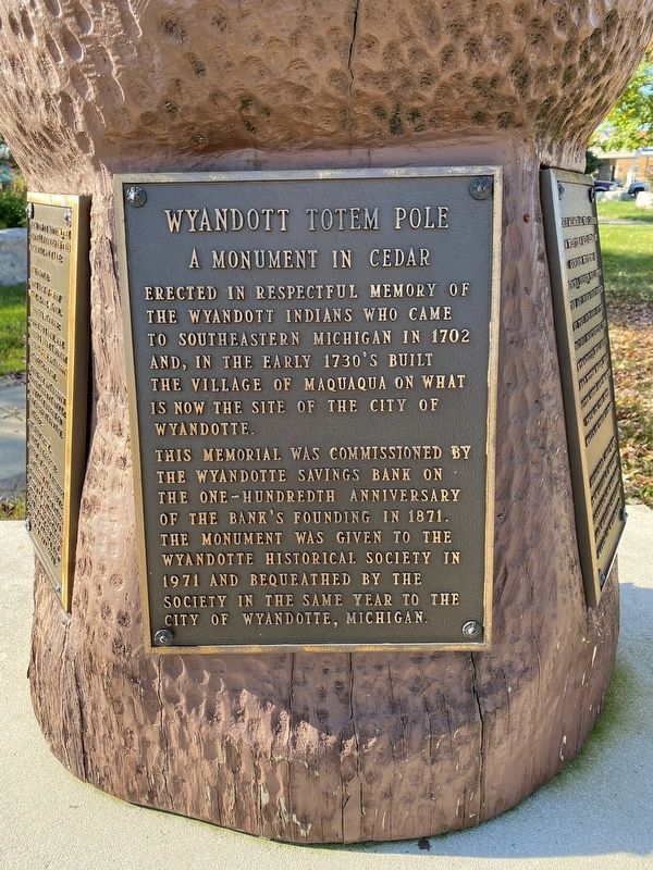
Erected in respectful memory of the Wyandott Indians who came to southeastern Michigan in 1702 and, in the early 1730's built the village of Maquaqua on what is now the site of the City of Wyandotte.
This memorial was commissioned by the Wyandotte Savings Bank on the one-hundredth anniversary of the bank's founding in 1871. The monument was given to the Wyandotte Historical Society in 1971 and bequeathed by the society in the same year to the City of Wyandotte, Michigan.
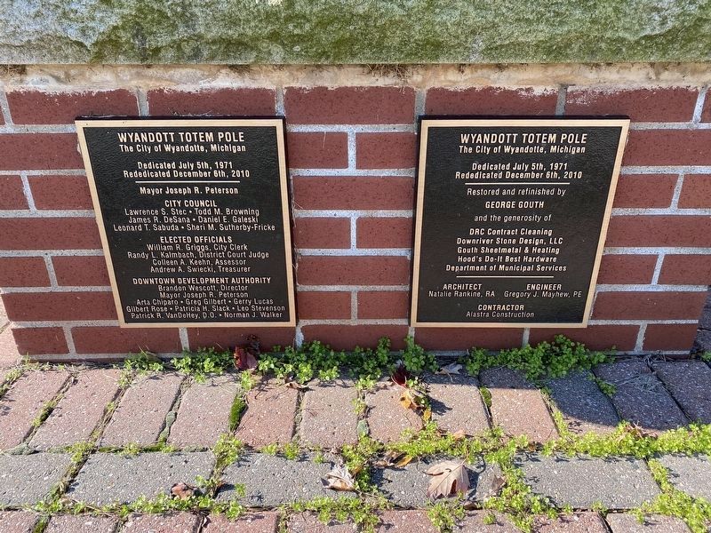
Erected 1971 by Wyandotte Savings Bank.
Topics. This historical marker is listed in these topic lists: Industry & Commerce • Native Americans • Settlements & Settlers. A significant historical year for this entry is 1730.
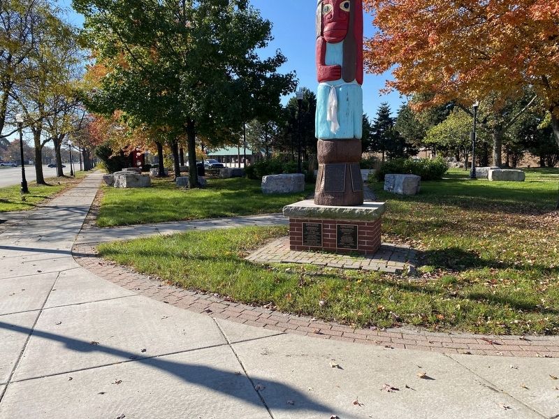
Location. 42° 11.996′ N, 83° 9.061′ W. Marker is in Wyandotte, Michigan, in Wayne County. Marker is at the intersection of Biddle Avenue and Eureka Road, on the right when traveling south on Biddle Avenue. Touch for map. Marker is in this post office area: Wyandotte MI 48192, United States of America. Touch for directions.
Other nearby markers. At least 8 other markers are within walking distance of this marker. Biddle North of Eureka (within shouting distance of this marker); The Nine Lives of 3225 Biddle Avenue (about 400 feet away, measured in a direct line); Marx Opera House (about 500 feet away); Milkins Jewelers (about 600 feet away); Neisner's Dime Store (about 700 feet away); Police Station (approx. 0.2 miles away); Shipbuilding (approx. 0.2 miles away); The Triangular Corner (approx. 0.2 miles away). Touch for a list and map of all markers in Wyandotte.
Photographed By J.T. Lambrou, November 8, 2021
4. Wyandott Totem Pole
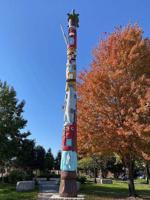
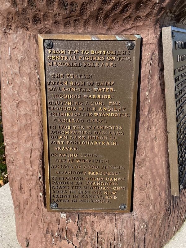
The pole contains (from top to bottom):
a turtle - Totem sign of the Chief Walking-in-the-water
an Iroquois Warrior clutching a gun
the crest of Antoine de la Monthe Cadillac
a beaver gnawing on a stick
a whitefish, the symbol of good fishing
a Wyandott with canoe paddle in farewell
Photographed By J.T. Lambrou, November 8, 2021
5. Wyandott Totem Pole Marker
The pole contains (from top to bottom):
1. The Turtle: Totem sign of Chief Walk-In-The-Water
2. Iroquois Warrior: clutching a gun. The Iroquois were ancient enemies of the Wyandott.
3. Cadillac Crest. In 1702 the Wyandott accompanied Cadillac down Lake Huron to Fort Ponchartrain.
4. Beaver: gnawing stick
5. Great Whitefish: symbole of good fishing
6. Wyandott Farewell: Tribesman holds canoe paddle as Wyandotts leave the Michigan-Ohio area in 1843 for new lands in Kansas, and later in Oklahoma. a whitefish, the symbol of good fishing a Wyandott with canoe paddle in farewell
Photographed By J.T. Lambrou, November 8, 2021
6. Wyandott Totem Pole Marker
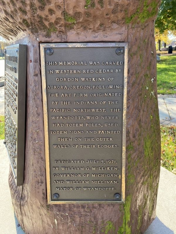
This memorial was carved in western red cedar by Gordon Watkins of Aurora, Oregon, following the art form originated by the Indians of the Pacific Northwest. The Wyandotts, who never had totem poles, used them signs and painted them on the outer walls of their lodges.
Credits. This page was last revised on January 3, 2022. It was originally submitted on January 3, 2022, by J.T. Lambrou of New Boston, Michigan. This page has been viewed 549 times since then and 121 times this year. Photos: 1, 2, 3, 4, 5, 6. submitted on January 3, 2022, by J.T. Lambrou of New Boston, Michigan. • Devry Becker Jones was the editor who published this page.
