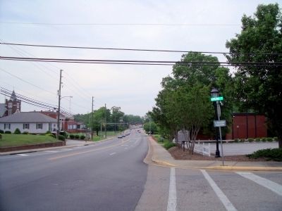
Emporia, Virginia — The American South (Mid-Atlantic)
Robert Hicks
Erected 1997 by Department of Historic Resources. (Marker Number UM-49.)
Topics and series. This historical marker is listed in these topic lists: Colonial Era • Settlements & Settlers. In addition, it is included in the Virginia Department of Historic Resources (DHR) series list. A significant historical date for this entry is February 7, 1739.
Location. 36° 41.231′ N, 77° 32.529′ W. Marker is in Emporia, Virginia. Marker is at the intersection of South Main Street and Spring Street, on the right when traveling north on South Main Street. Touch for map. Marker is in this post office area: Emporia VA 23847, United States of America. Touch for directions.
Other nearby markers. At least 8 other markers are within walking distance of this marker. Chaplain Thomas M. Bulla (a few steps from this marker); Greensville County (within shouting distance of this marker); Benjamin D. Tillar, Jr. (within shouting distance of this marker); In Memoriam (about 300 feet away, measured in a direct line); Veterans of the 1914-1918 World War I (about 300 feet away); Emporia – Greensville Veteran War Memorial (about 600 feet away); Shiloh Baptist Church (about 700 feet away); Grave of Gen. John R. Chambliss, Jr. (approx. 0.2 miles away). Touch for a list and map of all markers in Emporia.
Credits. This page was last revised on August 3, 2017. It was originally submitted on May 13, 2009, by Bernard Fisher of Richmond, Virginia. This page has been viewed 1,620 times since then and 40 times this year. Photos: 1, 2. submitted on May 13, 2009, by Bernard Fisher of Richmond, Virginia.

