Wyola in Big Horn County, Montana — The American West (Mountains)
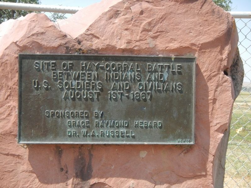
Hay-Corral Battle
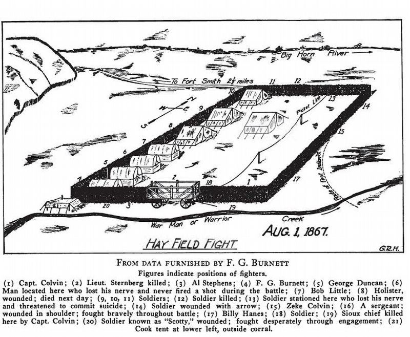
Hayfield Fight
August 1st - 1867
Erected by Grace Raymond Hebard and Dr. W.A. Russell.
Topics. This historical marker is listed in this topic list: Wars, US Indian. A significant historical date for this entry is August 1, 1867.
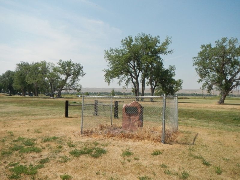
Location. 45° 20.095′ N, 107° 52.059′ W. Marker is in Wyola, Montana, in Big Horn County. Marker is on Warman Loop (County Road 40A) near State Highway 313, on the left when traveling north. The marker is near the intersection of Warman Loop (County Road 40A) and NE Warman Loop (Cottonwood Camp Road). Touch for map. Marker is in this post office area: Wyola MT 59089, United States of America. Touch for directions.
Other nearby markers. At least 2 other markers are within 12 miles of this marker, measured as the crow flies. Bozeman Trail Crossing (approx. 2.6 miles away); St. Xavier Mission (approx. 11.2 miles away).
Also see . . . Hayfield Fight. U.S. National Park Service - Bighorn Canyon National Recreation Area ...Richards, the civilian haycutting contractor, started cutting hay early that morning. The scene of the operation was in the Bighorn Valley, about two and one-half miles northeast of the fort....As a place of defense, a fortified corral was erected on the left bank of War Man Creek, about 40 feet from the stream....This location, though ideal for harvesting hay, had one significant disadvantage; it could not be seen or heard from the fort. (Submitted on January 5, 2022, by Barry Swackhamer of Brentwood, California.)
Credits. This page was last revised on January 5, 2022. It was originally submitted on January 5, 2022, by Barry Swackhamer of Brentwood, California. This page has been viewed 213 times since then and 42 times this year. Photos: 1, 2, 3. submitted on January 5, 2022, by Barry Swackhamer of Brentwood, California.


