Near Leggett in Mendocino County, California — The American West (Pacific Coastal)
Plane Crash Site Memorial Marker
Photographed by Andrew Ruppenstein, July 31, 2016
1. Plane Crash Site Memorial Marker Marker
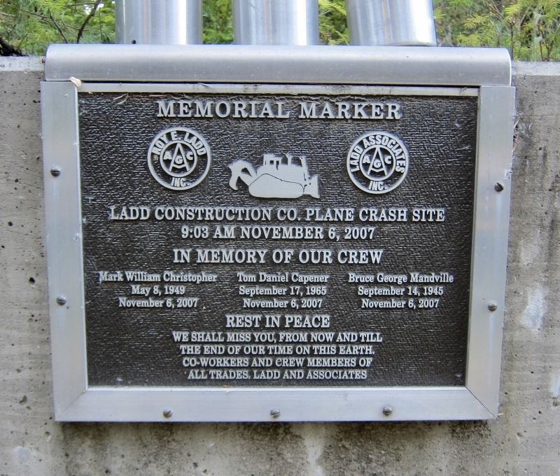
Ladd Construction Co. Plane Crash Site
9:03 AM November 6, 2007
In memory of our crew
Mark William Christopher
May 8, 1949
November 6, 2007
Tom Daniel Capener
September 17, 1965
November 6, 2007
Bruce George Mandville
September 14, 1945
November 6, 2007
Rest in peace
We shall miss you, from now and till the end of our time on this earth. Co-workers and crew members of all trades, Ladd and Associates
Erected by Ladd Associates Inc.
Topics. This historical marker is listed in this topic list: Disasters. A significant historical date for this entry is November 6, 2007.
Location. 39° 55.181′ N, 123° 45.917′ W. Marker is near Leggett, California, in Mendocino County. It is on U.S. 101, on the right when traveling south. Touch for map. Marker is in this post office area: Leggett CA 95585, United States of America. Touch for directions.

Regionally, this marker is in California’s Wine Country, in the North Coast, and specifically on the Coast Ranges. It is also on the American Pacific Coast and in the Pacific Northwest. Globally, it is in North America, on the Ring of Fire, on the Pacific Rim, in the
this page online
Other nearby markers. At least 6 other markers are within 8 miles of this marker, measured as the crow flies: Confusion Hill (about 300 feet away, measured in a direct line); Mignon "Minnie" Stoddard Lilley (about 300 feet away); Famous One-Log House (approx. 6.4 miles away); Drag Saw (approx. 6.4 miles away); Richardson Grove Historic Lodge (approx. 7½ miles away); Paving the Way (approx. 7½ miles away).
Also see . . . Three killed in Garberville plane crash (Times Standard, Nov. 7, 2007). (Submitted on January 6, 2022.)
Photographed by Andrew Ruppenstein, July 31, 2016
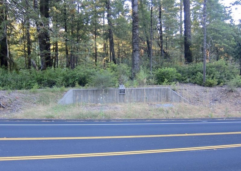
2. Plane Crash Site Memorial Marker - wide view
The marker is mounted to a cement retaining wall and is fairly easy to miss.
Credits. This page was last revised on January 6, 2022. It was originally submitted on January 6, 2022, by Andrew Ruppenstein of Lamorinda, California. This page has been viewed 455 times since then and 36 times this year. Photos: 1, 2. submitted on January 6, 2022, by Andrew Ruppenstein of Lamorinda, California.
