Oatman in Mohave County, Arizona — The American Mountains (Southwest)
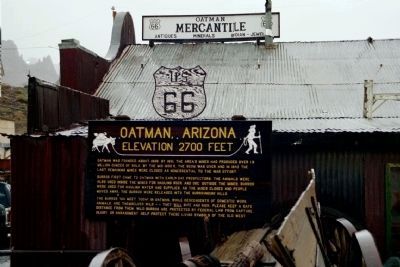
Oatman, Arizona
Elevation 2700 Feet
Inscription.
Oatman was founded about 1908. By 1931,
the area's mines had produced over
1.8 million ounces of gold. By the mid 1930's,
the boom was over and in 1942 the last
remaining mines were closed as nonessential
to the war effort.
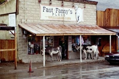
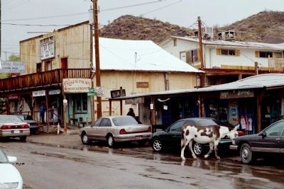
Burros first came to Oatman with early day prospectors. The animals were also used inside the mines for hauling rock and ore outside the mines. Burros were used for hauling water and supplies. As the mines closed and people moved away, the burros were released into the surrounding hills.
The burros you meet today in Oatman, while descendents of domestic work animals, are themselves wild - - they will bite and kick. Please keep a safe distance from them. Wild burros are protected by Federal Law from capture, injury, or harassment. Help protect these living symbols of the Old West.
Erected by Oatman Arizona.
Topics. This historical marker is listed in these topic lists: Animals • Industry & Commerce • Settlements & Settlers. A significant historical year for this entry is 1908.
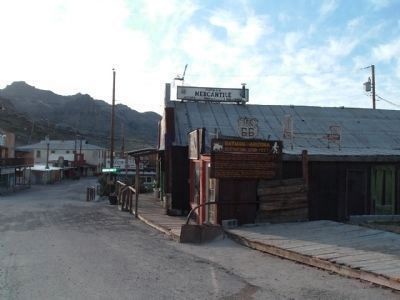
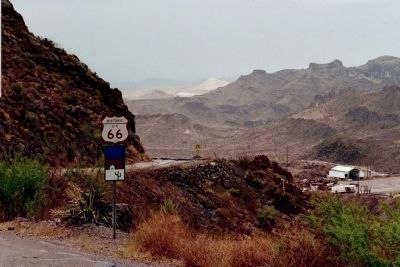
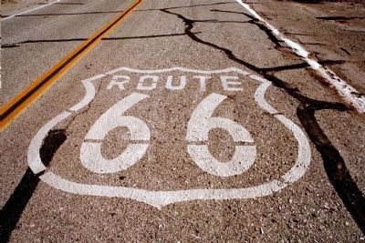
Location. 35° 1.609′ N, 114° 23.063′ W. Marker is in Oatman, Arizona, in Mohave County. Marker is on Oatman Topock Hwy ( AZ 66 ) near Bannon Lane, on the right when traveling south. Along Historic Route 66. Touch for map. Marker is in this post office area: Oatman AZ 86433, United States of America. Touch for directions.
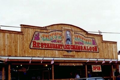
Other nearby markers. At least 8 other markers are within walking distance of this marker. Durlin Hotel (about 300 feet away, measured in a direct line); Olive Ann Oatman Fairchild (about 400 feet away); a different marker also named Oatman (about 500 feet away); Oatman Arizona and its Burros (about 600 feet away); a different marker also named Oatman (about 600 feet away); Gold Mining Ghost Town, Oatman, Arizona (about 600 feet away); Arizona Hotel (about 600 feet away); a different marker also named Oatman, Arizona (about 600 feet away). Touch for a list and map of all markers in Oatman.
Also see . . .
1. Desert USA, Oatman, AZ. Oatman was named in honor of Olive Oatman, who was kidnapped as a young girl by Mojave Indians and later rescued .... (Submitted on May 13, 2009, by Mike Stroud of Bluffton, South Carolina.)
2. Arizona Legends. The Oatman Hotel is one of the biggest attractions of the small village as the word of its mischievous ghosts has spread far and wide. The first and foremost ghosts are those of Clark Gable and Carole Lombard, (Submitted on May 13, 2009, by Mike Stroud of Bluffton, South Carolina.)
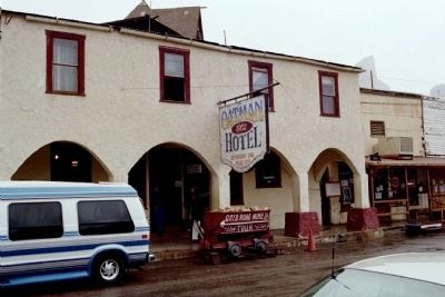
Photographed By Mike Stroud, November 2003
5. Oatman Hotel
On March 29, 1939 Clark Gable and Carole Lombard spent their wedding night at the old hotel after having been married in Kingman, Arizona. Remembering this memorable night, the couple often returned to the hotel for the peace and solitude it afforded them. Clark was known to spend many a night playing poker with some of the miners.
Credits. This page was last revised on June 16, 2016. It was originally submitted on May 13, 2009, by Mike Stroud of Bluffton, South Carolina. This page has been viewed 3,799 times since then and 43 times this year. Last updated on May 14, 2009, by Mike Stroud of Bluffton, South Carolina. Photos: 1, 2, 3, 4, 5. submitted on May 13, 2009, by Mike Stroud of Bluffton, South Carolina. 6. submitted on April 4, 2010, by Bill Kirchner of Tucson, Arizona. 7, 8, 9, 10. submitted on May 13, 2009, by Mike Stroud of Bluffton, South Carolina. • Syd Whittle was the editor who published this page.
