Mt. Bethel in Warren County, New Jersey — The American Northeast (Mid-Atlantic)
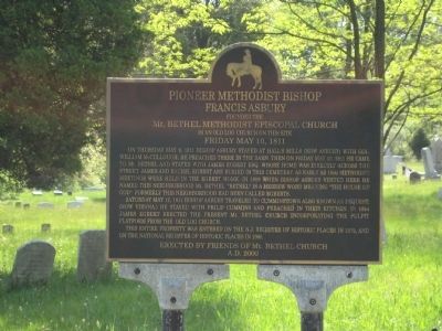
Pioneer Methodist Bishop Francis Asbury
Mt. BETHEL METHODIST EPISCOPAL CHURCH
in an old log church on this site
FRIDAY MAY 10, 1811.
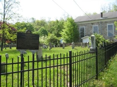
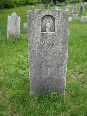
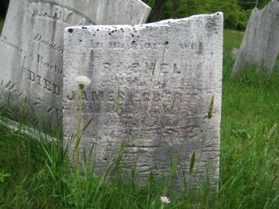
Saturday May 12, 1811 Bishop Asbury travelled to Cumminstown also known as Pequest, (now Vienna.) He stayed with Phillip Cummins and preached in their kitchen. In 1844 James Egbert erected the present Mt. Bethel Church incorporating the pulpit platform from the old log church.
This entire property was entered onto the N.J. Register of Historic Places in 1979, and on the National Register of Historic Places in 1980.
Erected 1980 by Friends Of Mt. Bethel Church.
Topics and series. This historical marker is listed in these topic lists: Cemeteries & Burial Sites • Churches & Religion. In addition, it is included in the Francis Asbury, Traveling Methodist Preacher series list. A significant historical date for this entry is May 10, 1908.
Location. 40° 49.573′ N, 74° 54.102′ W. Marker is in Mt. Bethel, New Jersey, in Warren County. Marker is at the intersection of Mt. Bethel Road and Snyder Road, on the right when traveling north on Mt. Bethel Road. Touch for map. Marker is at or near this postal address: 2 Mt Bethal Road, Hackettstown NJ 07840, United States of America. Touch for directions.
Other nearby markers. At least 8 other markers are within 5 miles of this marker, measured as the crow flies. Timberswamp Farm (approx. 2˝ miles away); Mansfield Township Veterans Monument (approx. 2.8 miles away); Triple Arch Stone Bridge (approx. 2.9 miles away); Morris Canal (approx. 2.9 miles away); Beattystown Historic District (approx. 3.3 miles away); Welcome To The Twp. Of Lebanon (approx. 3.3 miles away); Hackettstown Vietnam Memorial (approx. 4.2 miles away); Lt. and Mrs. Robert Wilson (approx. 4.3 miles away).
Also see . . . Francis Asbury. Wikipedia entry (Submitted on May 15, 2009.)
Photographed By Stanley and Terrie Howard
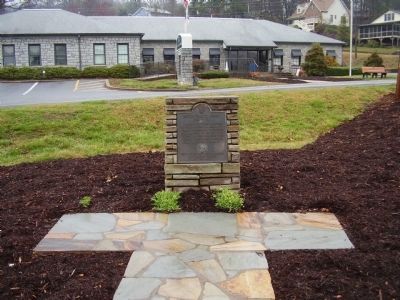
3. Bishop Francis Asbury Marker
An Additional Marker Commemorating Bishop Asbury. This marker is located in Maggie Valley, North Carolina.
Click for more information.
Click for more information.
Credits. This page was last revised on November 29, 2021. It was originally submitted on May 14, 2009, by Alan Edelson of Union Twsp., New Jersey. This page has been viewed 1,515 times since then and 28 times this year. Photos: 1, 2. submitted on May 14, 2009, by Alan Edelson of Union Twsp., New Jersey. 3. submitted on March 26, 2009, by Stanley and Terrie Howard of Greer, South Carolina. 4, 5. submitted on May 17, 2009, by Alan Edelson of Union Twsp., New Jersey. • Syd Whittle was the editor who published this page.
