Brea in Orange County, California — The American West (Pacific Coastal)
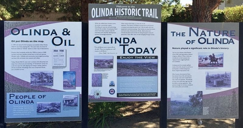
Olinda Historic Trail
While the oilfield here remains active, the earlier community is gone. Dwindling oil reserves and technology reduced the number of employees, flood water from these canyons made life hazardous, and suburban development become increasingly attractive.
What visitors find today is a new mix of old elements. The history of Olinda is preserved in and around a museum and along the park's trail. Old oil wells with new equipment content pumping. New homes sit atop the streets and homes sites of boomtown Olinda. Both native and introduces plants and animals live along the park's trail, and panoramic vistas offer views of ever-changing Orange County.
Olinda & Oil
Oil put Olinda on the map.
In 1897, the Santa Fe Oil Company successfully drilled Olinda Well #1 into these sloping hills. Two years later, the Santa Fe Railroad added an "Olinda" station to their map of destinations.
Dozens, then hundreds, and by the 1920's as many as 3,000 workers and their families moved here to drill and operate Olinda's wells. Oilfields and community intermingled, sprawling up these hills and down into canyons and valleys.
Today, Olinda Well #1, now over a century old, still pumps just steps from where you are standing. A "horsehead" pump, not a derrick, tops the well, dipping and rising in steady cadence. Of the hundreds of buildings that once comprised Olinda, just a handful survive.
The Nature of Olinda
Nature played a significant role in Olinda's history.
The hot dry climate of the Puente-Chino Hills made agriculture, without irrigation, difficult. When it did rain, cloudbursts turned canyons into raging torrents, triggering floods and mudslides.
Underground, the twisted, uplifted rocks of the hills, shoved to and fro as earthquakes rumbled along local faults, trapped large pools of oil.
After humans discovered oil here, they dotted these hills with derricks and storage tanks and crossed them with roads and pipelines. Periodically oil from new wells blew high into the sky before coating vegetation. New species, brought by humans, competed with native plants and animals.
Topics. This historical marker is listed in these topic lists: Environment • Industry & Commerce. A significant historical year for this entry is 1897.
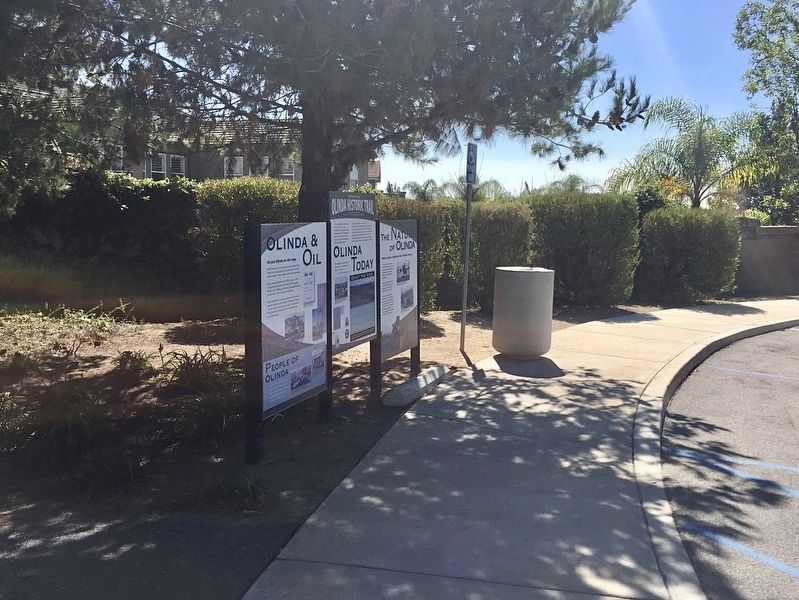
Location. 33° 55.57′ N, 117° 50.226′ W. Marker is in Brea, California, in Orange County. Marker can be reached from Sante Fe Road north of Carbon Canyon Road, on the left when traveling east. Touch for map. Marker is at or near this postal address: 4025 E Santa Fe Rd, Brea CA 92823, United States of America. Touch for directions.
Other nearby markers. At least 8 other markers are within 3 miles of this marker, measured as the crow flies. Olinda Oil Museum and Trail (within shouting distance of this marker); Olinda (approx. half a mile away); Pacific Electric Depot (approx. 2.7 miles away); Birthplace of Richard Milhous Nixon (approx. 2.7 miles away); Yorba Linda (approx. 2.7 miles away); Richard Nixon — A California Native Son (approx. 2.8 miles away); Richard Nixon (approx. 2.8 miles away); Richard Nixon Birthplace (approx. 2.8 miles away). Touch for a list and map of all markers in Brea.
Credits. This page was last revised on April 2, 2024. It was originally submitted on January 7, 2022, by Adam Margolis of Mission Viejo, California. This page has been viewed 179 times since then and 17 times this year. Photos: 1, 2. submitted on January 7, 2022, by Adam Margolis of Mission Viejo, California. • J. Makali Bruton was the editor who published this page.

