Near Sheridan in Sheridan County, Wyoming — The American West (Mountains)
Mine Communities Supply Miner's Needs

Photographed By Barry Swackhamer, July 20, 2021
1. Mine Communities Supply Miner's Needs Marker
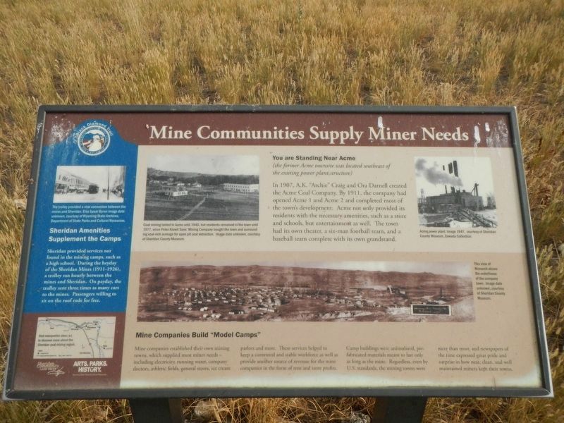
Captions: (upper center left) Coal mining lasted in Acme until 1940, but residents remained in the town until 1977, when Peter Kiewit Sons; Mining Company bought the town and surrounding coal-rich acreage for open pit coal extraction.; (upper center right) Acme power plant.; (bottom panorama) This view of Monarch shows the orderliness of the company town. Image date unknown.; (side-bar at left) The trolley provided a vital connection between the mines and Sheridan. Elsa Spear Byron image date unknown.
You are Standing Near Acme
(the former Acme townsite was located southeast of the existing power plant structure.)
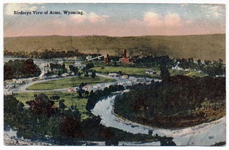
In 1907, A.K. "Archie" Craig and Ora Darnell created the Acme Coal Company. By 1911, the company had opened Acme 1 and Acme 2 and completed most of the townsite development. Acme not only provided its residents with the necessary amenities, such as a store and schools, but entertainment as well. The town had its own theater, a six-man football team, and a baseball team complete with its own grandstand.
Mining Companies Built "Model Camps"
Mine companies established their own mining towns, which supplied miners needs - including electricity, running water, company doctors, athletic fields, general stores, ice cream parlors and more. These services helped to keep a contended and stable workforce as well as provide another source of revenue for the mine companies in the form of rent and store profits. Camp buildings were uninsulated, pre-fabricated materials meant to last only s long as the mine. Regardless, even by U.S. standards, the mine towns were nicer than most, and newspapers of the time expressed great pride and surprise in how neat, clean, and well maintained miners kept their towns.
(side-bar on left:)
Sheridan Amenities Supplemented the Camps
Sheridan provided services not found in the mining camps, such as a high school. During the heyday of the Sheridan Mines (1911-1926), a trolly ran hourly between the mines and Sheridan. On payday, the trolley sent three times as many cars to the mines. Passengers willing to sit on the roof rode for free.
Erected by Sheridan Community Land Trust and Wyoming State Parks & Cultural Resources.
Topics. This historical marker is listed in these topic lists: Industry & Commerce • Natural Resources • Settlements & Settlers. A significant historical year for this entry is 1907.
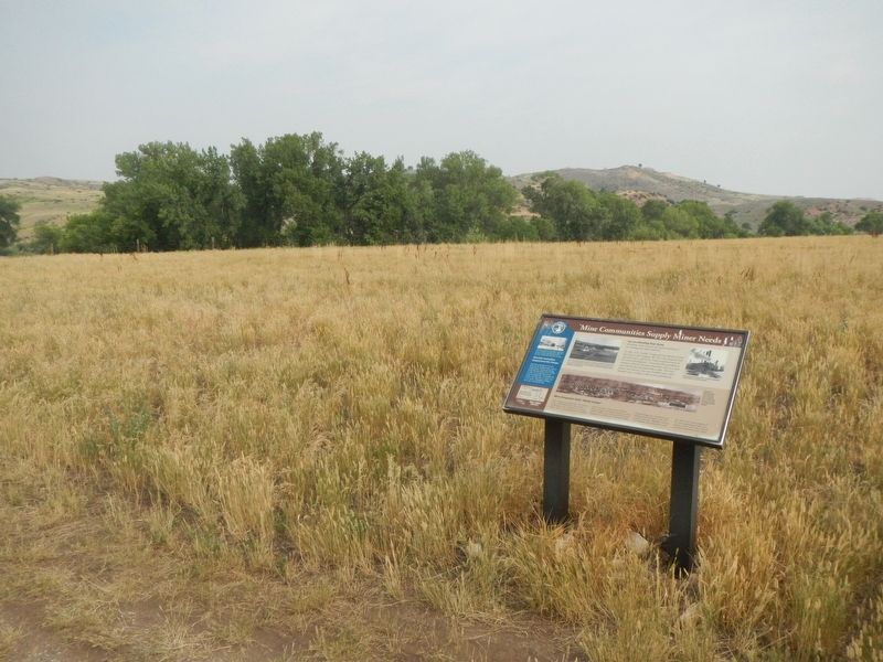
Location. 44° 54.416′ N, 106° 59.997′ W. Marker is near Sheridan, Wyoming, in Sheridan County. Marker is on Acme Road, 0.2 miles east of Kleenburn Road (County Road 106), on the right when traveling east. Touch for map. Marker is in this post office area: Sheridan WY 82801, United States of America. Touch for directions.
Other nearby markers. At least 8 other markers are within 7 miles of this marker, measured as the crow flies. The Aftermath of Mining (approx. half a mile away); Mining Modernizes (approx. half a mile away); Working in the Mines (approx. 1.7 miles away); Mines Shape a Community (approx. 2.7 miles away); The Black Diamond Trail (approx. 2.9 miles away); The Black Diamonds of Wyoming (approx. 2.9 miles away); Rock Creek to Montana Stage Line (approx. 6.4 miles away); The Pipe of Peace (approx. 7.1 miles away). Touch for a list and map of all markers in Sheridan.
More about this marker. This maker is a part of the Black Diamond Trail of Sheridan County.
Credits. This page was last revised on January 7, 2022. It was originally submitted on January 7, 2022, by Barry Swackhamer of Brentwood, California. This page has been viewed 123 times since then and 13 times this year. Photos: 1, 2, 3. submitted on January 7, 2022, by Barry Swackhamer of Brentwood, California.

