Near Sheridan in Sheridan County, Wyoming — The American West (Mountains)
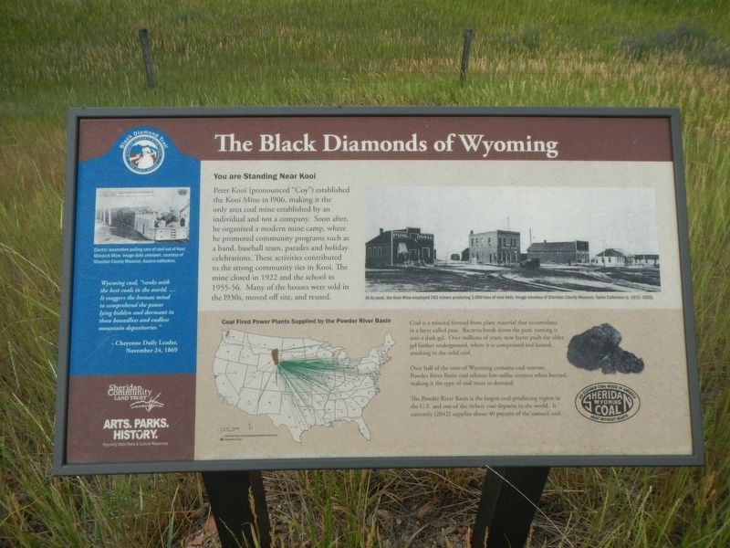
The Black Diamonds of Wyoming
Photographed by Barry Swackhamer, July 20, 2021
1. The Black Diamonds of Wyoming Marker
Captions: (upper right) At its peak, the Kooi Mine employed 263 miners producing 3,00 tons of coal daily.; (side-bar) Electric locomotive pulling cars of coal out of Kooi Monarch Mine. Image date unknown.
You are Standing Near Kooi
Peter Kooi (pronounced "Coy) established the Kooi Mine in 1906, making it the only area coal mine established by an individual and not a company. Soon after, he organized a modern mining camp, where he promoted community programs such as a band, baseball team, parades and holiday celebrations. These activities contributed to the strong community ties in Kooi. The mine closed in 1922 and the school in 1955-56. Many of the houses were sold in the 1930s, moved off site, and reused.
Coal Fired Power Plants Supplied by the Powder River Basin
Coal is a mineral from plant material that accumulates in a layer called peat. Bacterial break down the peat, turning it into a dark gel. Over millions of years, new layers push the older gel farther underground, where it is compressed and heated, resulting in the solid coal.
Over half of the state of Wyoming contains coal reserves. Powder River Basin coal releases low-sulfur content when burned, making it the trip of coal most in demand.
The Powder River Basin is the largest coal-producing region in the U.S. and one of the richest coal deposits
this page online
(side-bar at left:)
Wyoming coal, "ranks with the best coals in the world... It staggers the human mind to comprehend the power lying hidden and dormant in these boundless and endless mountain depositories." - Cheyenne Daily Leader, November 24, 1869
Erected by Sheridan Community Land Trust and Wyoming State Parks & Cultural Resources.
Topics. This historical marker is listed in these topic lists: Industry & Commerce • Natural Resources • Settlements & Settlers. A significant historical date for this entry is November 24, 1869.
Location. 44° 54.619′ N, 107° 3.54′ W. Marker is near Sheridan, Wyoming, in Sheridan County. It is on State Highway 345 ¼ mile east of Kooi Road, on the left when traveling west. Touch for map. Marker is in this post office area: Sheridan WY 82801, United States of America. Touch for directions.

Regionally, this marker is in the Powder River Basin. It is also in the American Mountain West. Globally, it is in North America, the Rocky Mountains, the Western Hemisphere, the Western World, and the Anglosphere.
Other nearby markers. At
Photographed by Barry Swackhamer, July 20, 2021
2. The Black Diamonds of Wyoming Marker
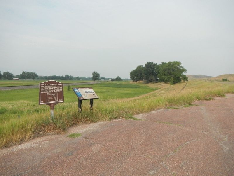
More about this marker. This maker is a part of the Black Diamond Trail of Sheridan County.
Credits. This page was last revised on December 29, 2024. It was originally submitted on January 7, 2022, by Barry Swackhamer of Brentwood, California. This page has been viewed 781 times since then and 33 times this year. Photos: 1, 2. submitted on January 7, 2022, by Barry Swackhamer of Brentwood, California.
