Leon in Jackson County, West Virginia — The American South (Appalachia)
Jackson County
⎯⎯⎯
Mason County
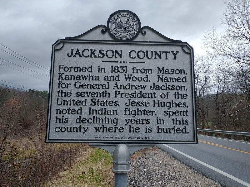
Photographed by Craig Doda, December 25, 2021
1. Jackson County / Mason County Marker
Jackson County
Formed in 1831 from Mason, Kanawha and Wood. Named for General Andrew Jackson, the seventh President of the United States. Jesse Hughes, noted Indian fighter, spent declining years in this county where he is buried.
Mason County
Formed, 1804, from Kanawha. Named for George Mason. Here Virginia frontiersmen, under Gen. Andrew Lewis, cleared way for American independence, 1774, by defeating federated western tribes under Chief Cornstalk.
Erected 1964 by West Virginia Historic Commission.
Topics and series. This historical marker is listed in these topic lists: Military • Notable Places. In addition, it is included in the West Virginia Archives and History series list. A significant historical year for this entry is 1831.
Location. 38° 51.295′ N, 81° 53.713′ W. Marker is in Leon, West Virginia, in Jackson County. It is on West Virginia Route 2 east of Jackson Lane, on the left when traveling east. Touch for map. Marker is in this post office area: Mount Alto WV 25264, United States of America. Touch for directions.

Regionally, this marker is in the Mid-Ohio Valley. It is also in the
this page online
Other nearby markers. At least 8 other markers are within 10 miles of this marker, measured as the crow flies: Cottageville (approx. 4.1 miles away); Racine American Legion Post 602 Veterans Memorial (approx. 7.7 miles away in Ohio); Racine Veterans Memorial (approx. 8 miles away in Ohio); Captain Joseph C. McElroy (approx. 8½ miles away in Ohio); Washington’s Land (approx. 8.9 miles away); Russell Eugene Harmon Memorial (approx. 9½ miles away); Daniel Frost (approx. 9.6 miles away); Ravenswood / Ohio River Ford (approx. 9.6 miles away).
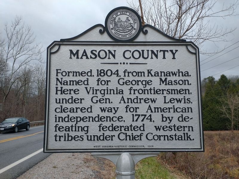
Photographed by Craig Doda, December 25, 2021
2. Jackson County / Mason County Marker
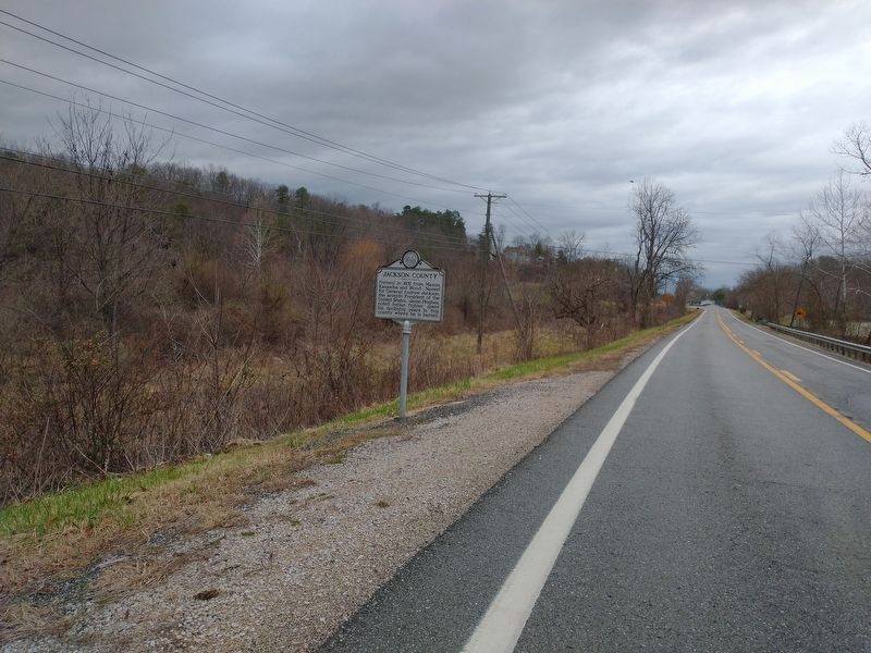
Photographed by Craig Doda, December 25, 2021
3. Jackson County / Mason County Marker
Credits. This page was last revised on January 16, 2022. It was originally submitted on January 7, 2022, by Craig Doda of Napoleon, Ohio. This page has been viewed 325 times since then and 39 times this year. Photos: 1, 2. submitted on January 7, 2022, by Craig Doda of Napoleon, Ohio. 3. submitted on January 8, 2022, by Craig Doda of Napoleon, Ohio. • J. Makali Bruton was the editor who published this page.
