Parkersburg in Wood County, West Virginia — The American South (Appalachia)
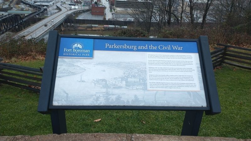
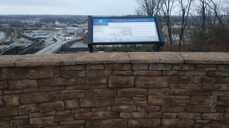
Parkersburg and the Civil War
Fort Boreman Historical Park
It was the railroad that made Parkersburg strategically important during the Civil War. There was an inner and outer depot, a roadhouse, and repair shops that were vital to maintaining the railroad's rolling stock. The impressive system also included a telegraph office, two-story freight shed, a loading dock powered by two steam-operated elevators, a stockyard, and a wharf along the Little Kanawha River.
Parkersburg in 1861 was mostly confined to the area that is now the downtown section. Several hotels such as the luxurious Swann House hosted travelers and military officers. The area near the Little Kanawha River was notoriously grimy and lawless, and was noted for its saloons, brothels, and seedy boarding houses.
During the war there were at least five military hospitals as well as a supply depot and commissary in the city. Hundreds of thousands of Union soldiers passed through the city, staying temporarily while their trains were ferried across the Ohio River. The war brought great changes to Parkersburg, as it was transformed almost overnight from a sleepy courthouse town to a hub of industry and transportation.
The Civil War unalterably shaped the character of the city. By 1870, the population had increased to over 5,500. The birth of the oil and gas industry soon transformed Parkersburg into an industrial center, where entrepreneurs fashioned a grand and glorious gaslit society. A building boom, including construction of fine homes north of the business district, changed the face of the city.
Topics. This historical marker is listed in these topic lists: Forts and Castles • Railroads & Streetcars • War, US Civil. A significant historical year for this entry is 1857.
Location. 39° 15.759′ N, 81° 34.166′ W. Marker is in Parkersburg, West Virginia, in Wood County. Marker is on Fort Boreman Drive, one mile south of Robert Byrd Highway (U.S. 50), on the right when traveling north. Touch for map. Marker is in this post office area: Parkersburg WV 26101, United States of America. Touch for directions.
Other nearby markers. At least 8 other markers are within walking distance of this marker. Historic Parkersburg (West) Virginia (here, next to this marker); Fort Boreman (here, next to this marker); The Beautiful Ohio River (a few steps from this marker); Historic Blennerhassett Island (a few steps from this marker); a different marker also named Fort Boreman (within shouting distance of this marker); Welcome (within shouting distance of this marker); William L. “Mudwall” Jackson (within shouting distance of this marker); Parkersburg in 1861 (within shouting distance of this marker). Touch for a list and map of all markers in Parkersburg.
Also see . . . Fort Boreman Park. City of Parkersburg Parks & Recreation (Submitted on January 8, 2022.)
Credits. This page was last revised on January 8, 2022. It was originally submitted on January 8, 2022, by Craig Doda of Napoleon, Ohio. This page has been viewed 446 times since then and 81 times this year. Photos: 1, 2. submitted on January 8, 2022, by Craig Doda of Napoleon, Ohio. • Bernard Fisher was the editor who published this page.

