Marker Logo HMdb.org THE HISTORICAL
MARKER DATABASE
“Bite-Size Bits of Local, National, and Global History”
Oilville in Goochland County, Virginia — The American South (Mid-Atlantic)
 

Virginia's Center of Population

Census 2000


Virginia's Center of Population Marker image. Click for full size.
Photographed By Adam Margolis, August 14, 2012
1. Virginia's Center of Population Marker
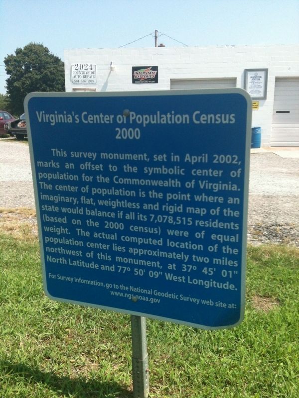
Inscription. This survey monument, set in April 2002, marks an offset to the symbolic center of population for the Commonwealth of Virginia. The center of population is the point where an imaginary, flat, weightless and rigid map of the state would balance if all its 7,078,515 residents (based on the 2000 census) were of equal weight. The actual computed located of the population center lies approximately two miles northwest of this monument, at 37° 45' 01" North Latitude and 77° 50' 09" West Longitude.
 
Topics. This historical marker is listed in this topic list: Notable Places.
 
Location. 37° 43.381′ N, 77° 49.738′ W. Marker is in Oilville, Virginia, in Goochland County. Marker is at the intersection of Broad Street Road (U.S. 250) and Perkinsville Road (Virginia Route 635), on the right when traveling west on Broad Street Road. Touch for map. Marker is at or near this postal address: 2024 Broad St Rd, Maidens VA 23102, United States of America. Touch for directions.
 
Other nearby markers. At least 8 other markers are within 5 miles of this marker, measured as the crow flies. Beaverdam Episcopal Church (approx. 2.6 miles away); Land Conservation in Virginia (approx. 3.1 miles away); Shady Grove (Rosenwald) School (approx. 3.6 miles away); Old Clerk's Office (approx. 4.1 miles away); In Memory of All Veterans
Paid Advertisement
Click on the ad for more information.
Please report objectionable advertising to the Editor.
Click or scan to see
this page online
(approx. 4.1 miles away); Goochland County Courthouse (approx. 4.1 miles away); a different marker also named Goochland County Courthouse (approx. 4.1 miles away); Goochland's Jail (approx. 4.1 miles away).
 
Also see . . .  NOAA National Geodetic Survey. (Submitted on January 13, 2022.)
 
Virginia's Center of Population Marker image. Click for full size.
Photographed By Adam Margolis, August 14, 2012
2. Virginia's Center of Population Marker
Virginia's Center of Population Marker image. Click for full size.
Photographed By Adam Margolis, August 14, 2012
3. Virginia's Center of Population Marker
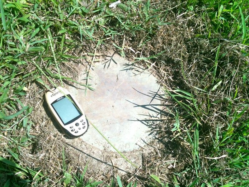
Benchmark (survey monument) at the base of the sign, indicating the exact population center of Virginia.
 
 
Credits. This page was last revised on January 13, 2022. It was originally submitted on January 12, 2022, by Adam Margolis of Mission Viejo, California. This page has been viewed 217 times since then and 27 times this year. Photos:   1, 2, 3. submitted on January 12, 2022, by Adam Margolis of Mission Viejo, California. • Bernard Fisher was the editor who published this page.
Share this page.  
Share on Tumblr
m=190159

CeraNet Cloud Computing sponsors the Historical Marker Database.
This website earns income from purchases you make after using our links to Amazon.com. We appreciate your support.
Paid Advertisement
Apr. 24, 2024