Milwood in Kalamazoo in Kalamazoo County, Michigan — The American Midwest (Great Lakes)
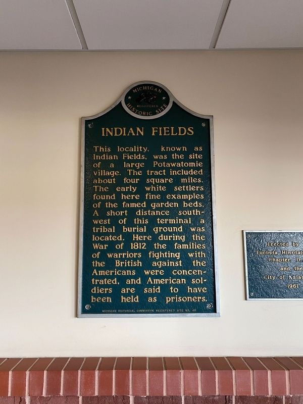
Indian Fields
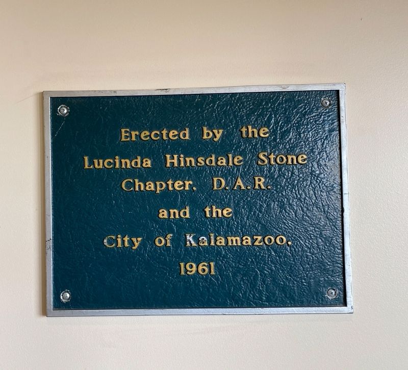
Erected 1961 by Michigan Historical Commission, Lucinda Hinsdale Stone Chapter, DAR and the City of Kalamazoo. (Marker Number S46.)
Topics and series. This historical marker is listed in these topic lists: Native Americans • Settlements & Settlers • War of 1812. In addition, it is included in the Daughters of the American Revolution, and the Michigan Historical Commission series lists. A significant historical year for this entry is 1812.
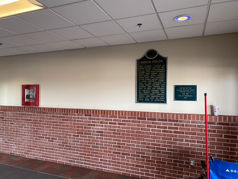
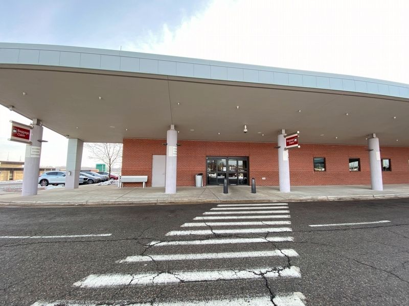
Location. 42° 14.426′ N, 85° 33.328′ W. Marker is in Kalamazoo, Michigan, in Kalamazoo County. It is in Milwood. Marker can be reached from East Milham Avenue near Mastenbrook Drive. The marker is located in the northern vestibule as you enter the gates. Touch for map. Marker is at or near this postal address: 5235 Portage Road, Portage MI 49002, United States of America. Touch for directions.
Other nearby markers. At least 8 other markers are within 3 miles of this marker, measured as the crow flies. For A Pal (approx. 0.8 miles away); Gregory B. Jarvis and Roger B. Chaffee Memorial (approx. 0.8 miles away); 25th Michigan Volunteer Infantry (approx. 2.6 miles away); Stuart Manor (approx. 2.6 miles away); District No. 8 Schoolhouse (approx. 2.6 miles away); Portage District No. 8 School (approx. 2.6 miles away); Portage Grain Elevator / Feed Mill (approx. 2.6 miles away); Hayloft Theatre (approx. 2.7 miles away).
Credits. This page was last revised on January 14, 2022. It was originally submitted on January 13, 2022, by J.T. Lambrou of New Boston, Michigan. This page has been viewed 389 times since then and 73 times this year. Photos: 1, 2, 3, 4. submitted on January 13, 2022, by J.T. Lambrou of New Boston, Michigan. • J. Makali Bruton was the editor who published this page.


