Monroe in Fairfield County, Connecticut — The American Northeast (New England)
The Rochambeau Route 1781 – 82
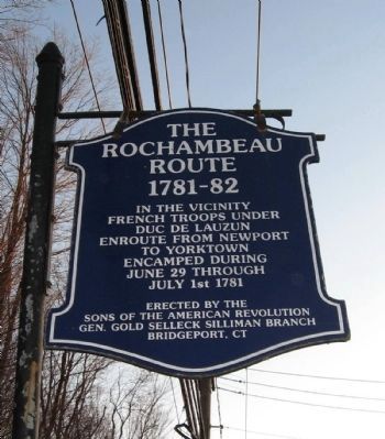
Inscription.
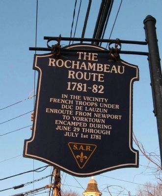
Rochambeau
Route
1781 – 82
In the Vicinity
French Troops Under
Duc De Lauzun
Enroute From Newport
To Yorktown
Encamped During
June 29 Through
July 1st 1781
Erected by The
Sons of the American Revolution
Gen. Gold Selleck Silliman Branch
Bridgeport, CT
Topics and series. This historical marker is listed in this topic list: War, US Revolutionary. In addition, it is included in the Sons of the American Revolution (SAR), and the The Washington-Rochambeau Route series lists. A significant historical month for this entry is June 1775.
Location. 41° 19.889′ N, 73° 12.402′ W. Marker is in Monroe, Connecticut, in Fairfield County. Marker is at the intersection of Monroe Turnpike (Route 111) and Moose Hill Road, on the right when traveling north on Monroe Turnpike. Touch for map. Marker is in this post office area: Monroe CT 06468, United States of America. Touch for directions.
Other nearby markers. At least 8 other markers are within 3 miles of this marker, measured as the crow flies. Monroe Korean War Memorial (within shouting distance of this marker); PFC John K. Goett (within shouting distance of this marker); Monroe World War I Memorial (within shouting distance of this marker); Monroe World War II Memorial (within shouting distance of this marker); Barton L. Weller (about 400 feet away, measured in a direct line); Monroe Veterans Memorial (about 400 feet away); Monroe (about 500 feet away); Bridgeport / Newtown Turnpike (approx. 3 miles away). Touch for a list and map of all markers in Monroe.
Credits. This page was last revised on January 15, 2022. It was originally submitted on January 1, 2010, by Michael Herrick of Southbury, Connecticut. This page has been viewed 1,849 times since then and 22 times this year. Last updated on January 14, 2022, by Carl Gordon Moore Jr. of North East, Maryland. Photos: 1, 2, 3. submitted on January 1, 2010, by Michael Herrick of Southbury, Connecticut. • J. Makali Bruton was the editor who published this page.


