Bolinas in Marin County, California — The American West (Pacific Coastal)
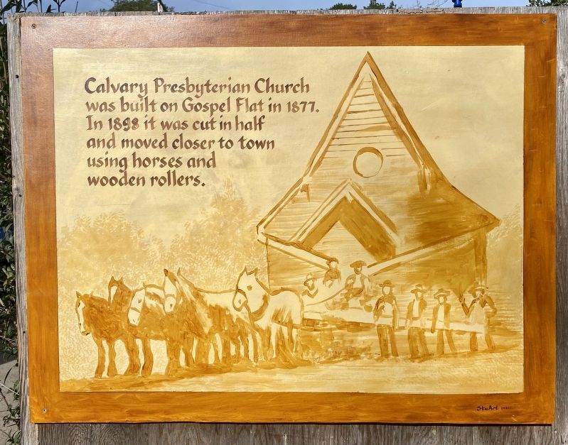
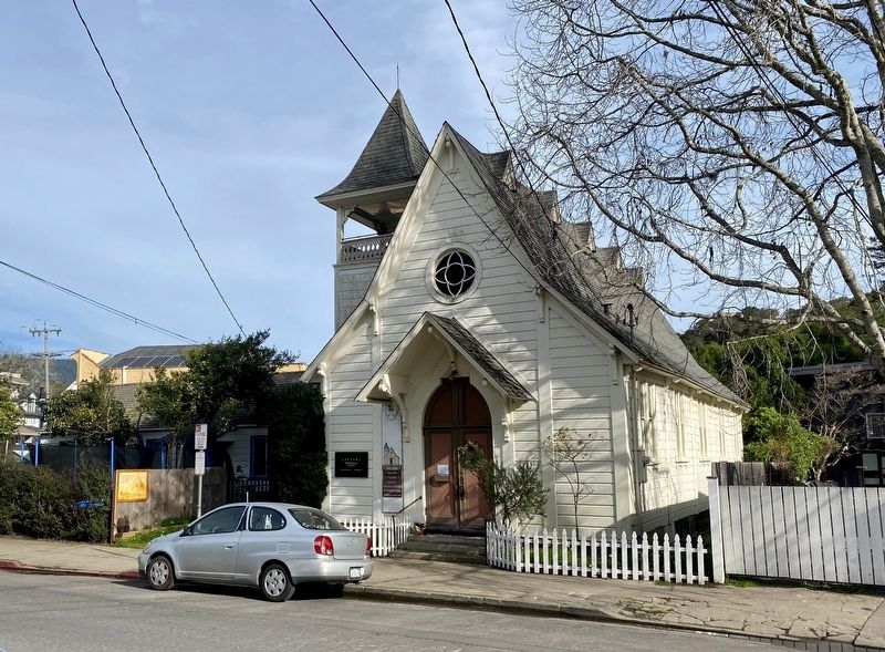
Calvary Presbyterian Church
Erected 2021 by Calvary Presbyterian Church.
Topics. This historical marker is listed in this topic list: Churches & Religion. A significant historical year for this entry is 1877.
Location. 37° 54.554′ N, 122° 41.187′ W. Marker is in Bolinas, California, in Marin County. Marker is on Brighton Avenue near Wharf Road, on the right when traveling north. Touch for map. Marker is at or near this postal address: 5 Brighton Avenue, Bolinas CA 94924, United States of America. Touch for directions.
Other nearby markers. At least 8 other markers are within 7 miles of this marker, measured as the crow flies. Smiley's Schooner Saloon (about 500 feet away, measured in a direct line); Stinson Beach (approx. 2.6 miles away); West Point Inn (approx. 5.1 miles away); United Nations Conference on International Organization (approx. 6.1 miles away); Redwoods and Their Relatives (approx. 6.1 miles away); Preserving the Forest Primeval (approx. 6.3 miles away); Fall in Muir Woods (approx. 6.3 miles away); Soldiers Guarding the Coast (approx. 6.4 miles away).

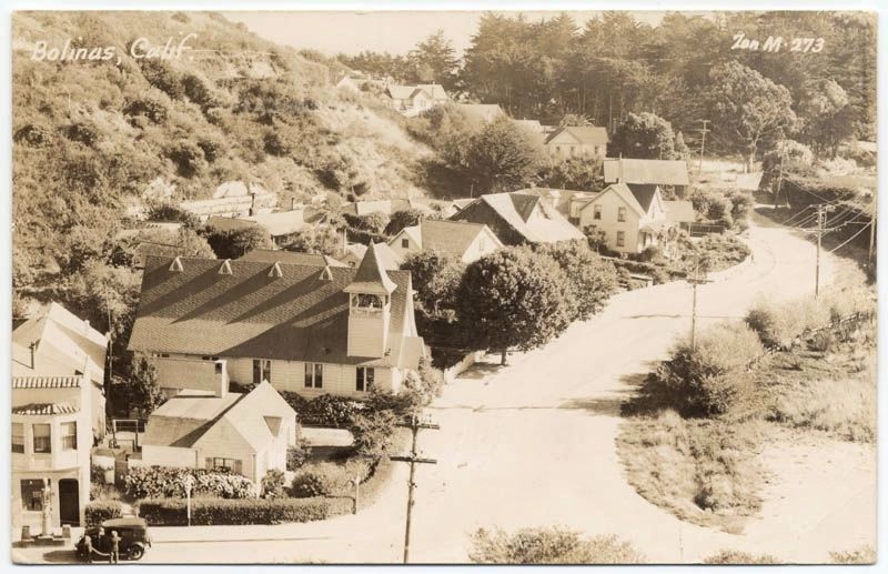
Zan Stark (courtesy of the California State Library), circa 1920
3. Bolinas, Calif.
"View of Bolinas looking down at Brighton Ave. in the direction of the sea; Presbyterian church at left with belfry; automobile at gas pump lower left; houses line the left side of the street with a hill behind; ca. 1920."
Credits. This page was last revised on January 14, 2022. It was originally submitted on January 14, 2022, by Andrew Ruppenstein of Lamorinda, California. This page has been viewed 132 times since then and 17 times this year. Photos: 1, 2, 3. submitted on January 14, 2022, by Andrew Ruppenstein of Lamorinda, California.

