Stinson Beach in Marin County, California — The American West (Pacific Coastal)
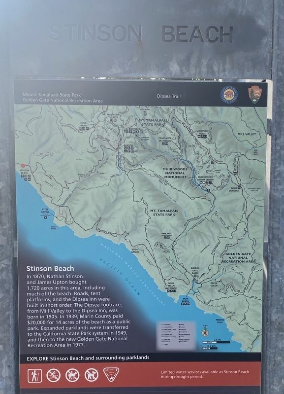
Stinson Beach
In 1870, Nathan Stinson and James Upton bought 1,720 acres in this area, including much of the beach. Roads, tent platforms, and the Dipsea Inn were built in short order. The Dipsea footrace, from Mill Valley to the Dipsea Inn, was born in 1905. In 1939, Marin County paid $20,000 for 14 acres of the beach as a public park. Expanded parklands were transferred to the California State Park system in 1949, and then to the new Golden Gate National Recreation Area in 1977.
Erected by National Park Service.
Topics. This historical marker is listed in these topic lists: Parks & Recreational Areas • Settlements & Settlers.
Location. 37° 53.824′ N, 122° 38.424′ W. Marker is in Stinson Beach, California, in Marin County. Marker can be reached from State Highway 1. Touch for map. Marker is in this post office area: Stinson Beach CA 94970, United States of America. Touch for directions.
Other nearby markers. At least 8 other markers are within 4 miles of this marker, measured as the crow flies. Smiley's Schooner Saloon (approx. 2.6 miles away); Calvary Presbyterian Church (approx. 2.6 miles away); West Point Inn (approx. 2.9 miles away); United Nations Conference on International Organization (approx. 3˝ miles away); Redwoods and Their Relatives (approx. 3.6 miles away); Preserving the Forest Primeval (approx. 3.7 miles away); Fall in Muir Woods (approx. 3.7 miles away); Soldiers Guarding the Coast (approx. 3.8 miles away).
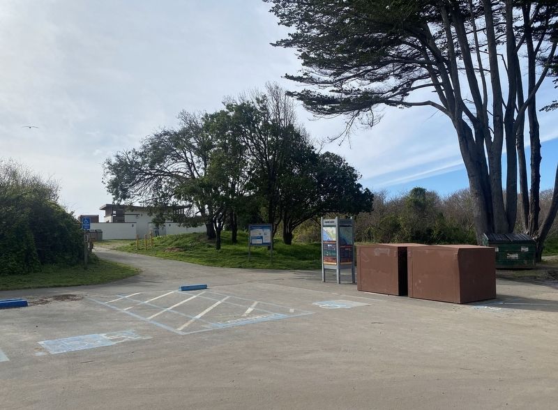
More about this marker. The marker is located at the western edge of the parking lot for Stinson Beach, on the path to the beach.
Also see . . .
1. Stinson Beach. National Park Service, Golden Gate National Recreation Area website entry:
The NPS provides a fuller history of the area than given on the marker....
Earlier, prior to Nathan Stinson's arrival: Shell mounds found near the beach suggest that Coast Miwoks were one of the first human residents of the area....(Submitted on January 14, 2022.)
By 1822, California was claimed by Mexico. The beach and lagoon areas, named "Rancho Baulinas" for the local baleen whales, was given as a land grant to Rafael Garcia by 1836. Over the years, cattle ranching and an apple farm brought economic prosperity to the quiet region. However, with no roads leading to the village until 1870, visitors were few and far between.
2. Stinson Beach Timeline. Stinson Beach Historical Society website entry (Submitted on January 15, 2022.)
Credits. This page was last revised on September 10, 2023. It was originally submitted on January 14, 2022, by Andrew Ruppenstein of Lamorinda, California. This page has been viewed 187 times since then and 25 times this year. Photos: 1, 2, 3. submitted on January 14, 2022, by Andrew Ruppenstein of Lamorinda, California.


