East Potomac Park in Southwest Washington in Washington, District of Columbia — The American Northeast (Mid-Atlantic)
East Potomac's Miniature Golf Course
970 Ohio Drive Southwest
listed in the
National Register
of Historic Places
as part of the East and West Potomac Parks Historic District
by the United States Department of Interior
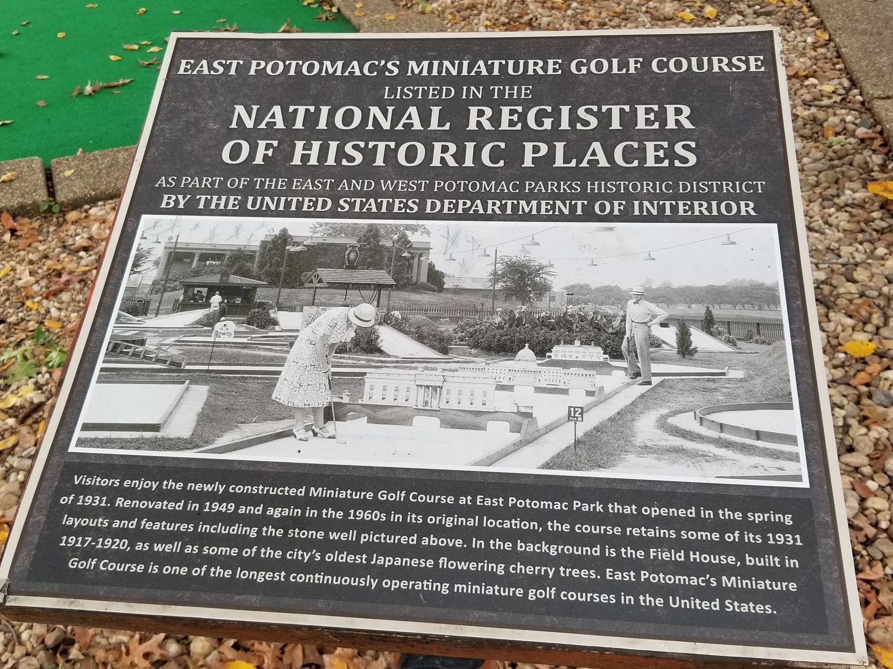
Visitors enjoy the newly constructed Miniature Golf Course at East Potomac Park that opened in the spring of 1931. Renovated in 1949 and again in the 1960s in its original location, the course retains some of its 1931 layouts and features including the stone well pictured above. In the background is the Field House, built in 1917-1920, as well as some of the city's oldest Japanese flowering cherry trees. East Potomac's Miniature Golf Course is one of the longest continuously operating miniature golf courses in the United States.
Topics. This historical marker is listed in these topic lists: Architecture • Horticulture & Forestry • Parks & Recreational Areas • Sports. A significant historical year for this entry is 1931.
Location. 38° 52.539′ N, 77° 1.577′ W. Marker is in Southwest Washington in Washington, District of Columbia. It is in East Potomac Park. Marker can be reached from Ohio Drive Southwest, 0.2 miles east of Buckeye Drive Southwest, on the right when traveling east. Touch for map. Marker is at or near this postal address: 970 Ohio Dr SW, Washington DC 20242, United States of America. Touch for directions.
Other nearby markers. At least 8 other markers are within walking distance of this marker. Lewis Jefferson (approx. 0.2 miles away); The Pearl (approx. ¼ mile away); Washington Channel (approx. ¼ mile away); Native Americans (approx. ¼ mile away); Civil War at the Southwest Waterfront (approx. ¼ mile away); Thurgood Marshall (approx. ¼ mile away); Long Bridge (approx. ¼ mile away); The Island (approx. ¼ mile away). Touch for a list and map of all markers in Southwest Washington.
Additional keywords. landscape architecture
Credits. This page was last revised on May 17, 2023. It was originally submitted on January 15, 2022, by Ira Feller of West Milford, New Jersey. This page has been viewed 291 times since then and 48 times this year. Photo 1. submitted on January 15, 2022, by Ira Feller of West Milford, New Jersey. • Devry Becker Jones was the editor who published this page.
Editor’s want-list for this marker. Wide shot of the marker in context • Can you help?
