Near Cherokee in Swain County, North Carolina — The American South (South Atlantic)
Hogs
Photographed by Tom Bosse, November 6, 2021
1. Hogs Marker
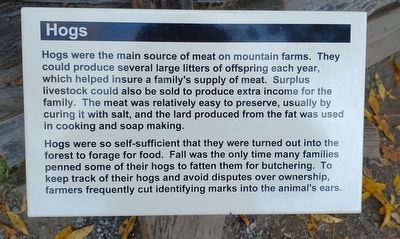
Hogs were the main source of meat on mountain farms. They could produce several large litters of offspring each year, which helped insure a family's supply of meat. Surplus livestock could also be sold to produce extra income for the family. The meat was relatively easy to preserve, usually by curing it with salt, and the lard produced from the fat was used in cooking and soap making.
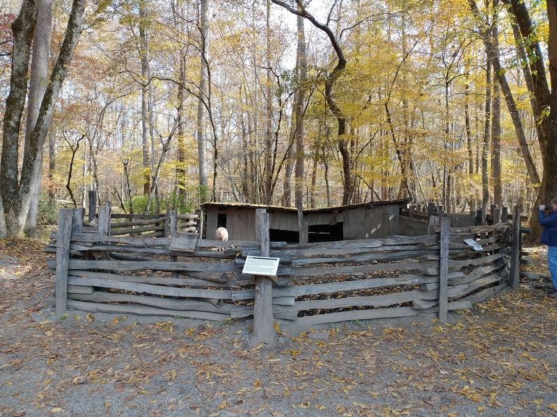
Hogs were so self0sufficient that they were turned out into the forest to forage for food. Fall was the only time many families penned some of their hogs to fatten them for butchering. To keep track of their hogs and avoid disputes over ownership, farmers frequently cut identifying marks into the animal's ears.
Erected by Great Smoky Mountains National Park.
Topics. This historical marker is listed in these topic lists: Agriculture • Settlements & Settlers.
Location. 35° 30.733′ N, 83° 18.212′ W. Marker is near Cherokee, North Carolina, in Swain County. It can be reached from Newfound Gap Road (U.S. 441) 0.7 miles north of Blue Ridge Parkway, on the right when traveling north.
this page online

Regionally, this marker is in the Mountains and specifically in the Great Smoky Mountains. It is also in the American South, specifically in the Upper South, in Appalachia, and specifically in Southern Appalachia. Globally, it is in North America, the Western Hemisphere, the Western World, and the Anglosphere. Historically, it finds itself in what was once the original Cherokee Nation, the territory of the Mississippian Culture, one of the original Thirteen Colonies, one of the Confederate States of America, and the Antebellum South.
Other nearby markers. At least 8 other markers are within walking distance of this marker: Blacksmith Shop (within shouting distance of this marker); Sorghum Cane (within shouting distance of this marker); Broomcorn (within shouting distance of this marker); Sorghum Mill and Furnace (within shouting distance of this marker);
Photographed by Tom Bosse, November 6, 2021
2. Hogs Marker
Also see . . . Oconaluftee Mountain Farm Museum and Mingus Mill. My Smoky Mountain Guide website entry (Submitted on July 11, 2024, by Larry Gertner of New York, New York.)
Credits. This page was last revised on July 11, 2024. It was originally submitted on January 17, 2022, by Tom Bosse of Jefferson City, Tennessee. This page has been viewed 201 times since then and 11 times this year. Photos: 1, 2. submitted on January 17, 2022, by Tom Bosse of Jefferson City, Tennessee. • Bernard Fisher was the editor who published this page.
