Stanton in Montcalm County, Michigan — The American Midwest (Great Lakes)
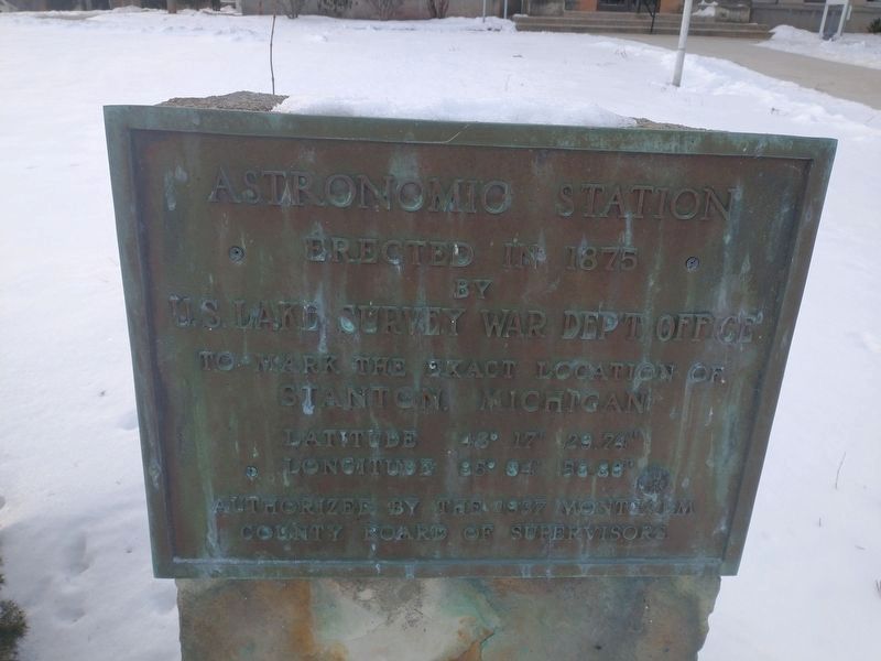
Astronomic Station
Erected in 1875 by U.S. Lake Survey War Dep't Office to mark the exact location of Stanton, Michigan
Latitude 43° 17' 29.74"
Longitude 85° 04' 58.80"
Authorized by the 1937 Montcalm County Board of Supervisors
Erected 1937 by Montcalm County Board of Supervisors.
Topics. This historical marker is listed in this topic list: Exploration. A significant historical year for this entry is 1875.
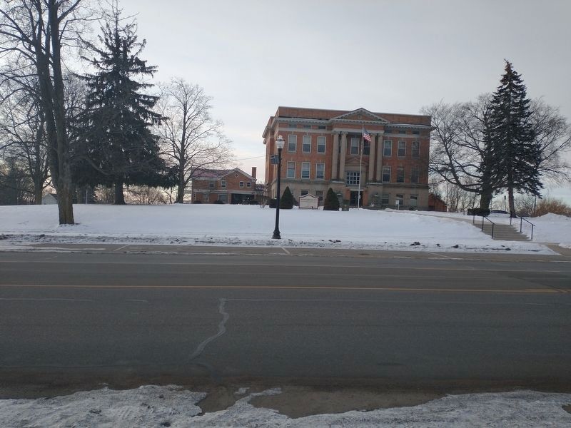
Location. 43° 17.539′ N, 85° 4.999′ W. Marker is in Stanton, Michigan, in Montcalm County. Marker is on West Main Street, on the right when traveling east. Touch for map. Marker is in this post office area: Stanton MI 48888, United States of America. Touch for directions.
Other nearby markers. At least 8 other markers are within 12 miles of this marker, measured as the crow flies. Stanton Veterans Memorial (about 700 feet away, measured in a direct line); 2nd Battalion 26th Marines Memorial (approx. half a mile away); Corner Stones (approx. 11˝ miles away); On This Site - Origins (approx. 11˝ miles away); Barn Quilt (approx. 11˝ miles away); On This Site - Ridley & Belshaw (approx. 11˝ miles away); Plow (approx. 11˝ miles away); On This Site - The Museum (approx. 11˝ miles away). Touch for a list and map of all markers in Stanton.
Credits. This page was last revised on January 18, 2022. It was originally submitted on January 18, 2022, by Craig Doda of Napoleon, Ohio. This page has been viewed 100 times since then and 13 times this year. Photos: 1, 2. submitted on January 18, 2022, by Craig Doda of Napoleon, Ohio. • J. Makali Bruton was the editor who published this page.

