Fargo in Ellis County, Oklahoma — The American South (West South Central)
Western Cattle Trail
Photographed by James Hulse, September 9, 2021
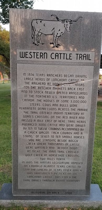
1. Western Cattle Trail Marker
In 1874 Texas ranchers began driving large herds of Longhorn cattle to the railhead at Dodge City, Kansas. For the butcher markets back east and to stock newly opened rangelands in the northern U.S. Territories and Canada. The hooves of some 3,000,000 steers, cows and bulls wore permanent depressions across the prairie. The trail entered Indian Territory at Doan's Crossing on the Red River and passed a mile east of here. Trail herds averaged 3000 cattle and were driven by ten to twelve cowboys accompanied by a chuck wagon. Each cowboy had a "string" of seven to ten saddle horses. You are standing beside Boggy Creek where thousands of cattle were watered and bedded down at night. The main trail crossed Wolf Creek at Horseshoe Crossing, two miles north.
In 1885 the Kansas Legislature imposed an embargo against Texas cattle to stop the spread of Texas Fever which was transmitted by ticks on the Longhorn cattle. This ended the trail drives through Indian Territory.
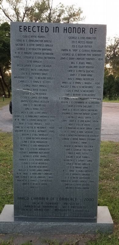
Erected 2000 by Fargo Chamber of Commerce.
Topics. This historical marker is listed in these topic lists: Animals • Roads & Vehicles. A significant historical year for this entry is 1874.
Location. 36° 22.618′ N, 99° 37.063′ W. Marker is in Fargo, Oklahoma, in Ellis County. It is on E0440 Road 0.2 miles State Highway 15, on the left when traveling west. The marker is located at the Fargo City Park. Touch for map. Marker is in this post office area: Fargo OK 73840, United States of America. Touch for directions.

Regionally, this marker is in the American South, specifically on the prairies, and on the Southern Plains. Globally, it is in North America, the Western Hemisphere, the Western World, and the Anglosphere. Historically, it finds itself in what was once the Comanchería, the territory of the Mississippian Culture, the Dust
this page online
Other nearby markers. At least 5 other markers are within 14 miles of this marker, measured as the crow flies: Military Road Crossing (approx. 8.3 miles away); Camp Supply (approx. 13.7 miles away); Historic Fort Supply Cemetery (approx. 13.8 miles away); The Cooper Site (approx. 13.8 miles away); a different marker also named Military Road Crossing (approx. 14.1 miles away).
Also see . . . Great Western Cattle Trail.
The Great Western Cattle Trail was first traveled by Captain John T. Lytle in 1874 when he was transporting 3,500 longhorn cattle up from Southern Texas into Nebraska. In five short years, it became one of the most traveled and famous cattle trails in U.S. history. Despite its popularity, traffic along the trail began to decline in 1885 due to the spreading use of barbed wire fences and legislation calling for a quarantine of Texas cattle due to the "Texas Fever", a disease spread by ticks. The last major Cattle drive up the trail was on its way to Deadwood, South Dakota, in 1893. By that time an estimated six to seven million cattle and one million horses(Submitted on January 19, 2022, by James Hulse of Medina, Texas.)had traversed the trail. Source: WikipediaPhotographed by James Hulse, September 9, 20212. Memorial on the reverse side
Photographed by James Hulse, September 9, 2021
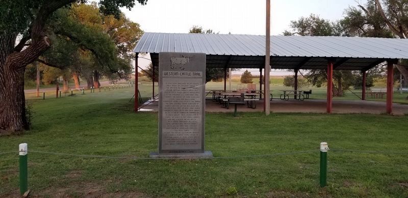
3. Western Cattle Trail Marker
Photographed by James Hulse, September 9, 2021
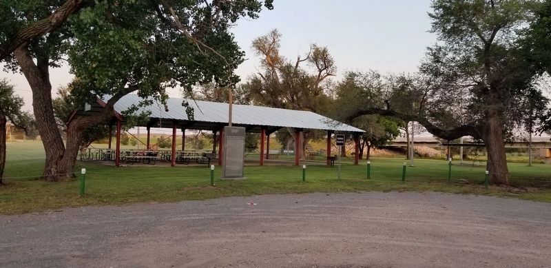
4. The view of the Western Cattle Trail Marker from the parking lot of the park
Credits. This page was last revised on December 31, 2024. It was originally submitted on January 19, 2022, by James Hulse of Medina, Texas. This page has been viewed 735 times since then and 144 times this year. Photos: 1, 2, 3, 4. submitted on January 19, 2022, by James Hulse of Medina, Texas.
