China in Jefferson County, Texas — The American South (West South Central)
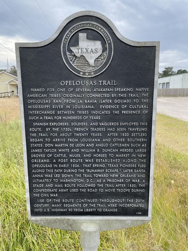
Opelousas Trail
Spanish explorers, soldiers, and vaqueros employed this route. By the 1750s, French traders had been traveling the trail for about twenty years. After 1820 settlers began to arrive from Louisiana and other southern states. Don Martin de Leon and Anglo cattlemen such as James Taylor White and William B. Duncan herded large droves of cattle, mules, and horses to market in New Orleans. A post route was established along the Opelousas in early 1836. That spring, Texas pioneers fled along this path during the "Runaway Scrape." Later Santa Anna was led down the trail toward New Orleans and ultimately to Washington, D.C., as a prisoner of war. A stage and mail route followed the trail after 1850; the Confederate Army used the road to move troops during the Civil War.
Use of the route continued throughout the 20th century. Many segments of the trail were incorporated into U.S. Highway 90 from Liberty to Orange.
Erected 1998 by Texas Historical Commission. (Marker Number 10549.)
Topics. This historical marker is listed in this topic list: Roads & Vehicles.
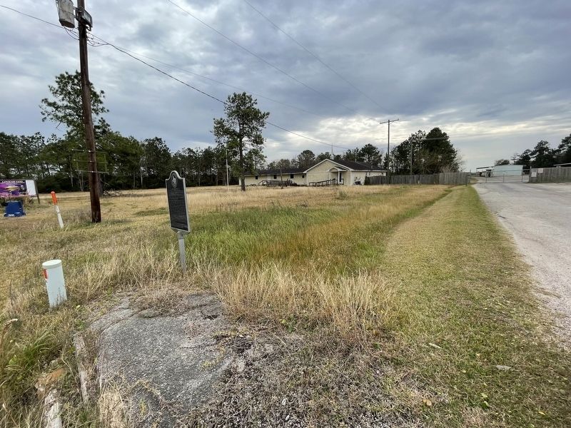
Location. 30° 2.683′ N, 94° 21.228′ W. Marker is in China, Texas, in Jefferson County. Marker is on U.S. 90, on the right when traveling east. Touch for map. Marker is at or near this postal address: 20205 US-90, China TX 77613, United States of America. Touch for directions.
Other nearby markers. At least 7 other markers are within 14 miles of this marker, measured as the crow flies. Site of World War ll Prisoner of War Camp (approx. 1.9 miles away); City of Beaumont (approx. 8.7 miles away); Spell Cemetery (approx. 12.7 miles away); Leo Edward Craigen (approx. 12.8 miles away); Prater Cemetery (approx. 13.3 miles away); Hamshire House (approx. 13.6 miles away); The Mayumi Legacy (approx. 13.7 miles away).
Also see . . . La Bahía Road - The Handbook of Texas Online. Texas State Historical Association (TSHA) (Submitted on January 20, 2022, by Brian Anderson of Humble, Texas.)
Credits. This page was last revised on January 20, 2022. It was originally submitted on January 20, 2022, by Brian Anderson of Humble, Texas. This page has been viewed 385 times since then and 72 times this year. Photos: 1, 2. submitted on January 20, 2022, by Brian Anderson of Humble, Texas.

