Joliet in Carbon County, Montana — The American West (Mountains)
Rock Creek State Bank
Photographed by Barry Swackhamer, July 22, 2021
1. Rock Creek State Bank Marker
Inscription.
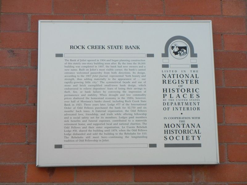
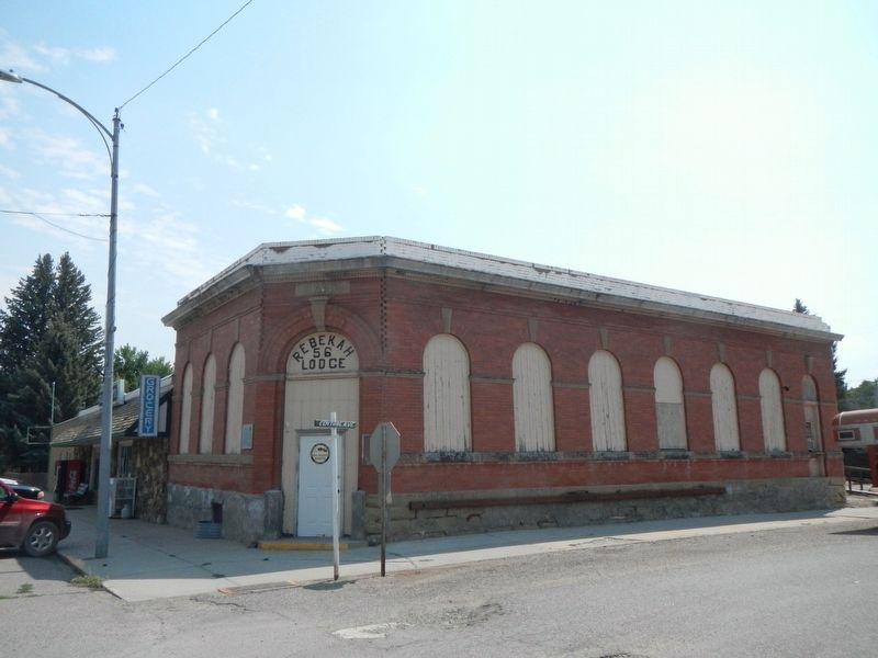
The Bank of Joliet opened in 1904 and began planning construction of this stately one-story building soon after. By the time the $8,000 building was completed in 1907, the bank had new owners and a new name. Built on Joliet’s most visible corner, the bank’s canted entrance welcomed passersby from both directions. Its design, according to the 1907 Joliet Journal, represented “both beauty and strength, thus adding materially to the appearance of … our rapidly-growing little city.” The symmetrical façade and use of stone and brick exemplified small-town bank design, which endeavored to relieve depositors’ fears of losing their savings to theft, fire, or bank failure by conveying the impression of permanence and stability. When drought and low commodity prices shattered the homestead economy in the 1920s, however, over half of Montana’s banks closed, including Rock Creek State Bank in 1923. Three years later, Lodge #77 of the International Order of Odd Fellows purchased the bank for $2,750 and six months’ back taxes. A fraternal organization, the Odd Fellows advocated love, friendship, and truth while offering fellowship and
Click or scan to see this page online
a social safety net for its members. Lodges paid members sick benefits and funeral expenses, contributed to a statewide retirement home, and supported local and national charities. The Odd Fellows and their sister organization, La Cuesta Rebekah Lodge #56, shared the building until 1979, when the Odd Fellows Lodge disbanded and sold the building to the Rebekahs for $10. The Rebekahs still meet here—continuing the longstanding tradition of Odd Fellowship in Joliet.
Location. 45° 29.054′ N, 108° 58.23′ W. Marker is in Joliet, Montana, in Carbon County. It is at the intersection of Main Street and East Central Avenue, on the left when traveling north on Main Street. Touch for map. Marker is at or near this postal address: 205 Main Street, Joliet MT 59041, United States of America. Touch for directions.
Regionally,
Photographed by Barry Swackhamer, July 22, 2021
2. Rock Creek State Bank Building and Marker
this marker is in Montana’s Yellowstone Country. It is also in the American Mountain West and in the Lewis & Clark Corridor. Globally, it is in North America, the Rocky Mountains, the Western Hemisphere, the Western World, and the Anglosphere. Historically, it finds itself in what was once Rupert’s Land and also the Louisiana Purchase.
Credits. This page was last revised on January 20, 2022. It was originally submitted on January 20, 2022, by Barry Swackhamer of Brentwood, California. This page has been viewed 240 times since then and 22 times this year. Photos:1, 2. submitted on January 20, 2022, by Barry Swackhamer of Brentwood, California.