Joliet in Carbon County, Montana — The American West (Mountains)
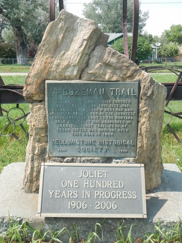
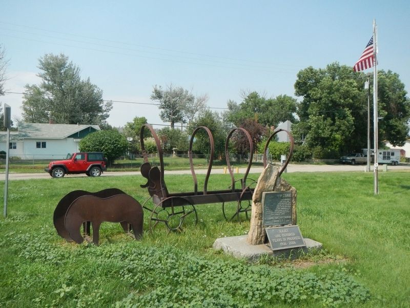
The Bozeman Trail
Inscription.
The Bozeman Trail which crossed Rock Creek near this site, was established by John M. Bozeman and John M Jacobs in 1864 as the shortest route from the east to the Montana gold fields. It was abandoned in 1868. The first trail heard of Texas cattle was brought over this road in 1866
Erected 1966 by Yellowstone Historical Society.
Topics. This historical marker is listed in this topic list: Roads & Vehicles.
Location. 45° 29.103′ N, 108° 58.167′ W. Marker is in Joliet, Montana, in Carbon County. Marker is at the intersection of North Main Street and Front Avenue (U.S. 212), on the right when traveling north on North Main Street. Touch for map. Marker is at or near this postal address: 1 North Main Street, Joliet MT 59041, United States of America. Touch for directions.
Other nearby markers. At least 8 other markers are within 8 miles of this marker, measured as the crow flies. Rock Creek State Bank (about 400 feet away, measured in a direct line); Joliet Christian Church (approx. ¼ mile away); Fromberg Methodist-Episcopal Church (approx. 7 miles away); Dr. Theodore J. Benson House (approx. 7 miles away); John Gibson House (approx. 7.1 miles away); Samuel and Jennie Greenblatt Residence (approx. 7.1 miles away); A Monument to Carbon County: The Fromberg Bridge (approx. 7.1 miles away); Northern Pacific Railroad Depot (approx. 7.1 miles away). Touch for a list and map of all markers in Joliet.
Credits. This page was last revised on January 20, 2022. It was originally submitted on January 20, 2022, by Barry Swackhamer of Brentwood, California. This page has been viewed 360 times since then and 51 times this year. Photos: 1, 2. submitted on January 20, 2022, by Barry Swackhamer of Brentwood, California.

