Old River-Winfree in Chambers County, Texas — The American South (West South Central)
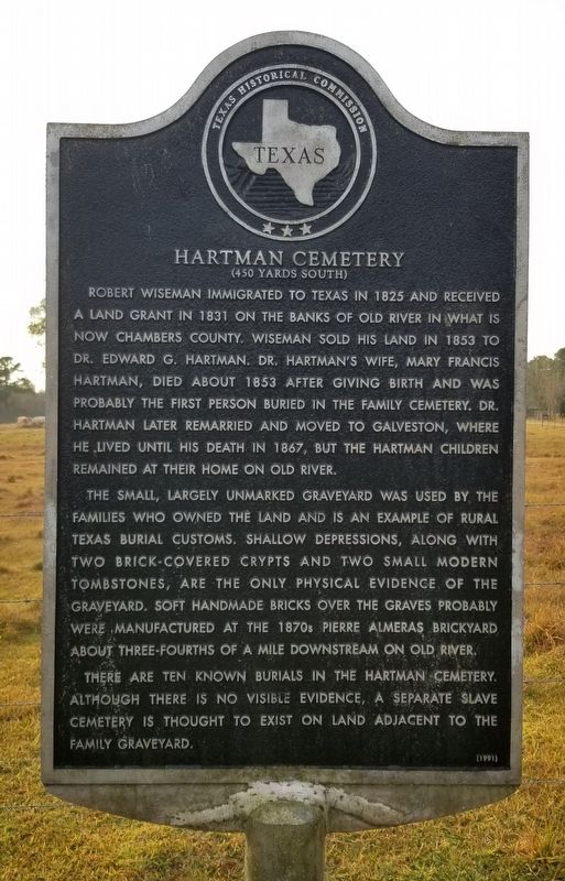
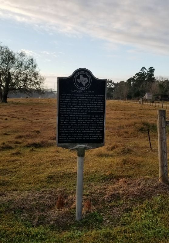
Hartman Cemetery
(450 Yards South)
The small, largely unmarked graveyard was used by the families who owned the land and is an example of rural Texas burial customs. Shallow depressions, along with two brick-covered crypts and two small modern tombstones, are the only physical evidence of the graveyard. Soft handmade bricks over the graves probably were manufactured at the 1870s Pierre Almeras Brickyard about three-fourths of a mile downstream on Old River.
There are ten known burials in the Hartman Cemetery. Although there is no visible evidence, a separate slave cemetery is thought to exist on land adjacent to the family graveyard.
Erected 1991 by Texas Historical Commission. (Marker Number 9125.)
Topics. This historical marker is listed in these topic lists: African Americans • Cemeteries & Burial Sites • Settlements & Settlers. A significant historical year for this entry is 1825.
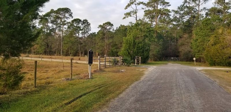
Location. 29° 52.618′ N, 94° 50.071′ W. Marker is in Old River-Winfree, Texas, in Chambers County. Marker is on Woodland Lane, 0.2 miles west of Erin Street, on the left when traveling west. The marker is located at the end of the street by the fence. Touch for map. Marker is at or near this postal address: 4605 Woodland Lane, Baytown TX 77523, United States of America. Touch for directions.
Other nearby markers. At least 8 other markers are within 7 miles of this marker, measured as the crow flies. Old River (approx. 0.4 miles away); Henry and Amelia Griffith (approx. 0.9 miles away); St. Emily Methodist Church (approx. 2 miles away); First United Methodist Church of Mont Belvieu (approx. 2˝ miles away); First United Methodist Church and Cemetery of Mont Belvieu (approx. 3.9 miles away); Amos Barber Homesite and Cemetery (approx. 4 miles away); Barbers Hill Oil Field (approx. 4.8 miles away); Joseph Blancpain's French Trading Post (approx. 6˝ miles away).
Credits. This page was last revised on January 22, 2022. It was originally submitted on January 21, 2022, by James Hulse of Medina, Texas. This page has been viewed 145 times since then and 16 times this year. Photos: 1, 2, 3. submitted on January 22, 2022, by James Hulse of Medina, Texas.


