Beaumont in Jefferson County, Texas — The American South (West South Central)
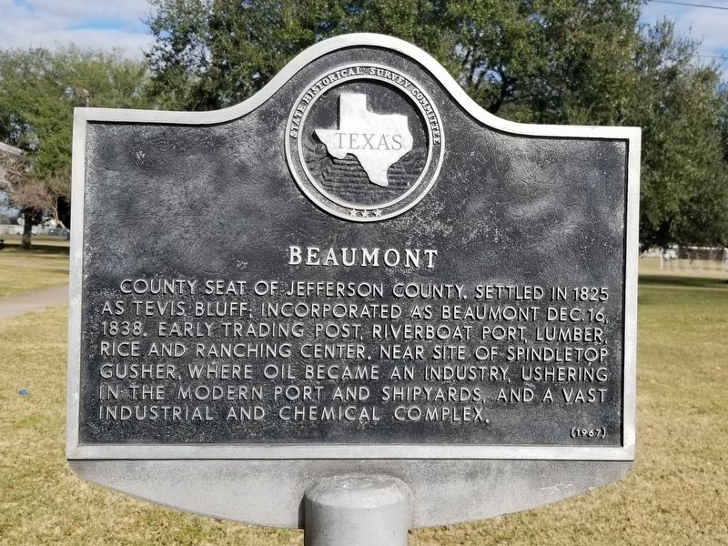
Beaumont
Photographed by James Hulse, January 18, 2022
1. Beaumont Marker
Erected 1967 by Texas Historical Commission. (Marker Number 10494.)
Topics. This historical marker is listed in this topic list: Industry & Commerce. A significant historical date for this entry is December 16, 1838.
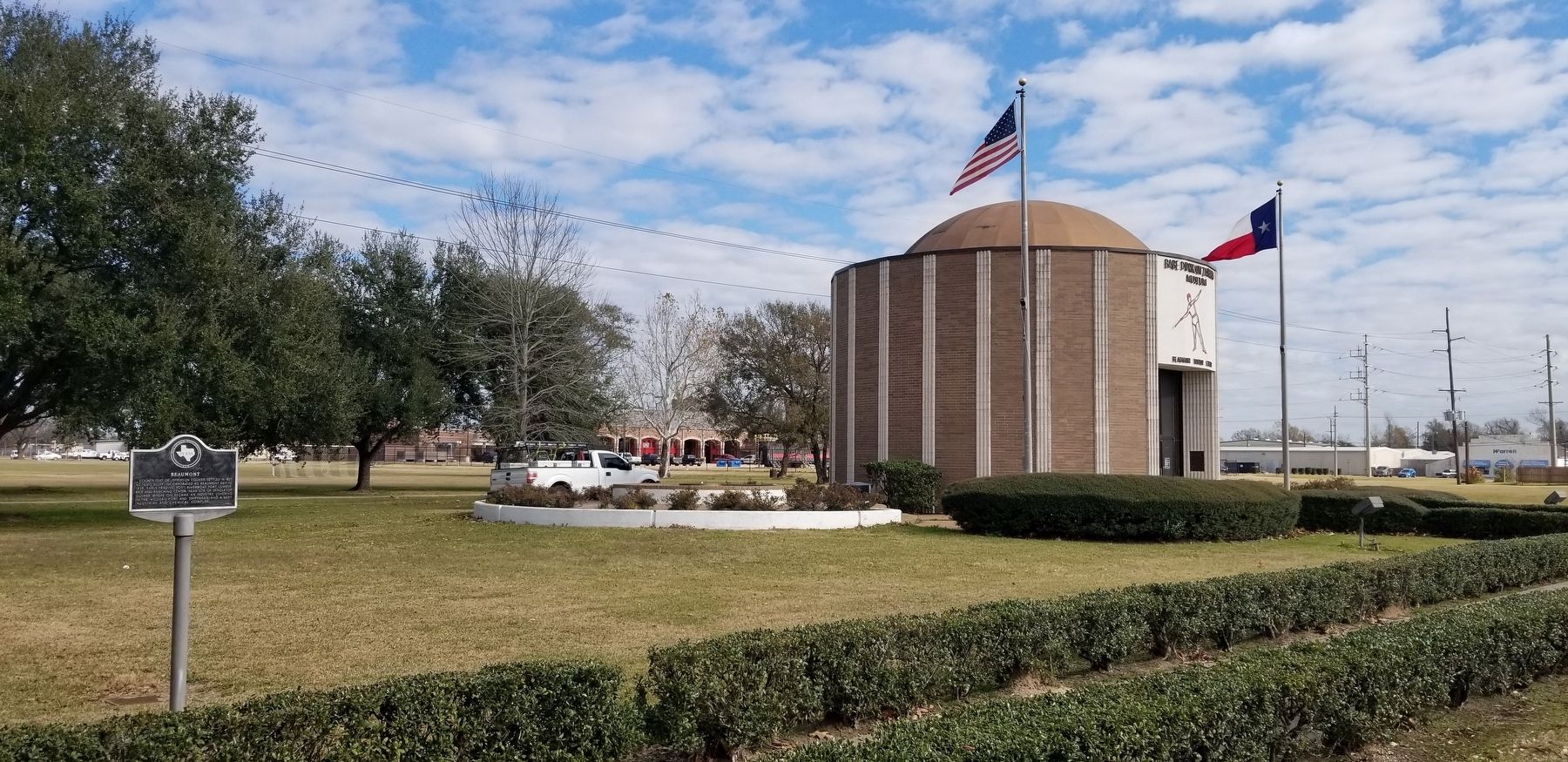
Location. 30° 5.796′ N, 94° 6.865′ W. Marker is in Beaumont, Texas, in Jefferson County. It is on I-10 Frontage Road 0.2 miles west of Gulf Street, on the right when traveling west. The marker is located southwest of the Babe Didrikson Zaharias Museum. Touch for map. Marker is at or near this postal address: 1750 I-10 Frontage Road, Beaumont TX 77703, United States of America. Touch for directions.

Regionally, this marker is in the Golden Triangle. It is also in the American South, on the Gulf Coast, and in the Piney Woods. Globally, it is in North America, a Gulf of Mexico state, the Western
this page online
Other nearby markers. At least 8 other markers are within walking distance of this marker: War Memorial (within shouting distance of this marker); F/RF-101 Voodoo (within shouting distance of this marker); Dr. Charles F. L. N. Graham (approx. 0.3 miles away); Blind Willie Johnson (approx. half a mile away); McFaddin-Ward House (approx. 0.6 miles away); C. Homer and Edith Fuller Chambers Home (approx. 0.8 miles away); Holmes Duke House (approx. 0.8 miles away); Magnolia Cemetery (approx. 0.9 miles away). Touch for a list and map of all markers in Beaumont.
Photographed by James Hulse, January 18, 2022
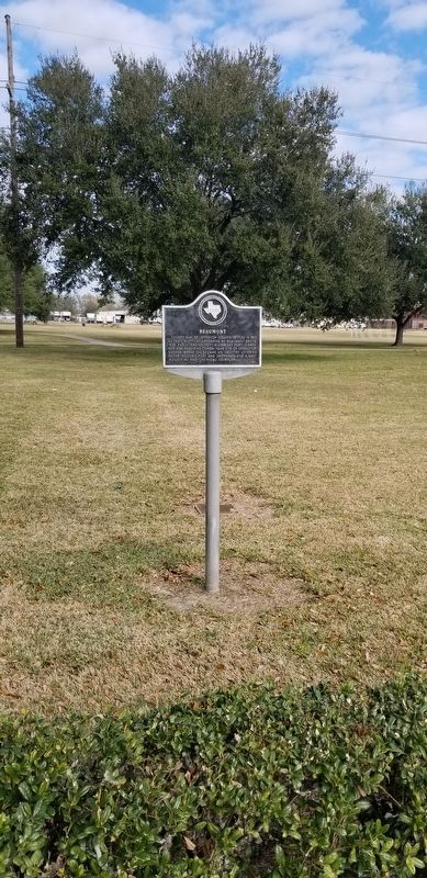
2. Beaumont Marker
Photographed by James Hulse, January 18, 2022
3. The Beaumont Marker next to the Babe Didrikson Zaharias Museum and Visitor’s Center
Credits. This page was last revised on January 22, 2022. It was originally submitted on January 22, 2022, by James Hulse of Medina, Texas. This page has been viewed 503 times since then and 50 times this year. Photos: 1, 2, 3. submitted on January 22, 2022, by James Hulse of Medina, Texas.
