Edinburg in Shenandoah County, Virginia — The American South (Mid-Atlantic)
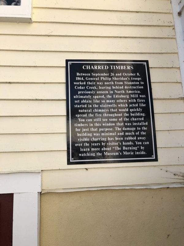
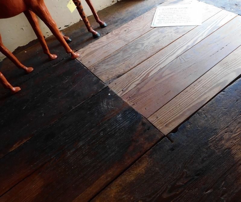
Charred Timbers
Topics. This historical marker is listed in this topic list: War, US Civil. A significant historical date for this entry is September 26, 1864.
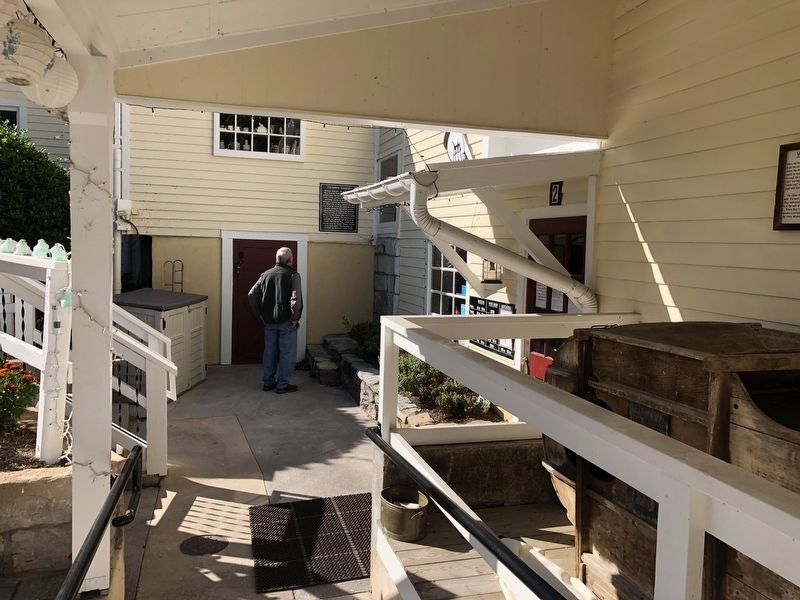
Location. 38° 49.27′ N, 78° 34.097′ W. Marker is in Edinburg, Virginia, in Shenandoah County. Marker is at the intersection of South Main Street (U.S. 11) and Massie Farm Lane, on the right when traveling west on South Main Street. Touch for map. Marker is at or near this postal address: 214 S Main St, Edinburg VA 22824, United States of America. Touch for directions.
Other nearby markers. At least 8 other markers are within walking distance of this marker. Wheat Fan (here, next to this marker); a different marker also named Wheat Fan (a few steps from this marker); Schoolhouse Bench (a few steps from this marker); Stoney Creek Flood Water Level (a few steps from this marker); Edinburg Mill Rain Garden (within shouting distance of this marker); Edinburg Mill (within shouting distance of this marker); The Stony Creek Line (within shouting distance of this marker); Civil War Action in Edinburg (about 600 feet away, measured in a direct line). Touch for a list and map of all markers in Edinburg.
Regarding Charred Timbers. "ultimately spared" starts a sentence, but was discovered to have a small leading "u" on the marker.
Credits. This page was last revised on January 23, 2022. It was originally submitted on October 19, 2020, by Devry Becker Jones of Washington, District of Columbia. This page has been viewed 200 times since then and 13 times this year. Last updated on January 22, 2022, by Carl Gordon Moore Jr. of North East, Maryland. Photos: 1, 2. submitted on October 19, 2020, by Devry Becker Jones of Washington, District of Columbia. 3. submitted on April 2, 2021, by Bradley Owen of Morgantown, West Virginia. • J. Makali Bruton was the editor who published this page.


