Near Buxton in Dare County, North Carolina — The American South (South Atlantic)
Keepers of the Light
| — | Cape Hatteras National Seashore | — |
Photographed by Tom Bosse, September 19, 2021
1. Keepers of the Light Marker
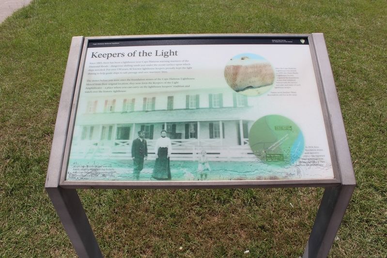
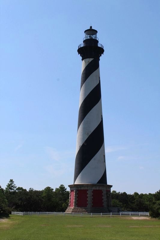
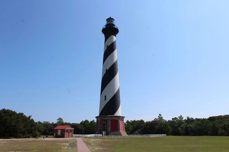
Since 1803, there has been a lighthouse near Cape Hatteras warning mariners of the Diamond Shoals—dangerous shifting sands just under the ocean surface upon which ships wrecked. For over 130 years, 82 known lighthouse keepers proudly kept the light shining to help guide ships to safe passage and save mariners’ lives.
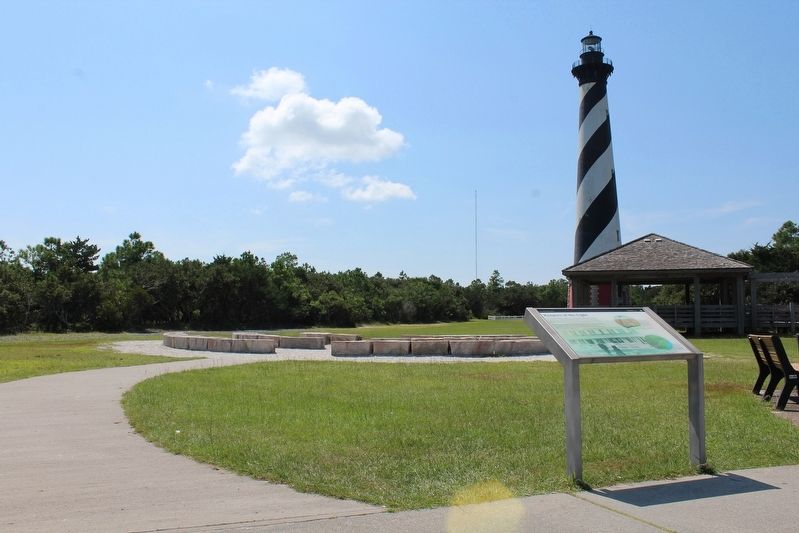
The stone before you were once the foundation stones of the Cape Hatteras Lighthouse. Moved from their original location, they now form the Keepers of the Light Amphitheater—a place where you can carry on the lighthouse keepers’ tradition and watch over the historic lighthouse.
(captions)
After the Cape Hatteras Lighthouse was moved in 1999, the Outer Banks Lighthouse Society engraved the foundation stones that remained behind with the service start date and name of each lighthouse keeper.
Names seem familiar? Many descendents still live in the area!
In 2014, these foundation stones were moved to protect this important piece of heritage from the encroaching sea. They now form this amphitheater.
Keeper John Bunyan Quidley with wife Emma, daughter Marie, and dog Pechichi at the Cape Hatteras Lighthouse
this page online
Erected by National Park Service, U.S. Department of the Interior.
Topics and series. This historical marker is listed in this topic list: Notable Buildings. In addition, it is included in the Lighthouses series list. A significant historical year for this entry is 1803.
Location. 35° 15.073′ N, 75° 31.662′ W. Marker is near Buxton, North Carolina, in Dare County. It can be reached from Lighthouse Road one mile south of State Highway 12, on the right when traveling east. Marker is located in front of the Hatteras Island Visitors Center. Touch for map. Marker is at or near this postal address: 46379 Lighthouse Road, Buxton NC 27920, United States of America. Touch for directions.

Regionally, this marker is in the Coastal Plain and on the Outer Banks. It is also in the American South, specifically in the Upper South, in the Tidewater, and on the Eastern Seaboard. Globally, it is in the North Atlantic Region, North America, the Western Hemisphere, the Western World, and the Anglosphere. Historically, it finds itself in what was once the territory of the Mississippian Culture, one of the
Photographed by Tom Bosse, September 19, 2021
2. Keepers of the Light Marker
Other nearby markers. At least 8 other markers are within one mile of this marker, measured as the crow flies: Life at the Light (about 400 feet away, measured in a direct line); Inching Inland (about 500 feet away); A Shifting Shoreline, An Imperiled Lighthouse (approx. ¼ mile away); Commonwealth War Graves Commission (approx. 0.4 miles away); Honoring Their Sacrifice (approx. 0.4 miles away); Cape Hatteras Lighthouse (approx. one mile away); Welcome to Buxton… (approx. 1.1 miles away); Diamond Shoals (approx. 1.1 miles away). Touch for a list and map of all markers in Buxton.
Another marker is no longer nearby. "Paukenschlag" (was approx. 0.4 miles away but has been replaced with another marker now near it).
Also see . . . Hatteras Island Visitor Center. National Park Service website entry (Submitted on January 26, 2022.)
Photographed by Tom Bosse, September 19, 2021
3. Cape Hatteras Lighthouse
Photographed by Tom Bosse, September 19, 2021
4. Cape Hatteras Lighthouse
Photographed by Tom Bosse, September 19, 2021
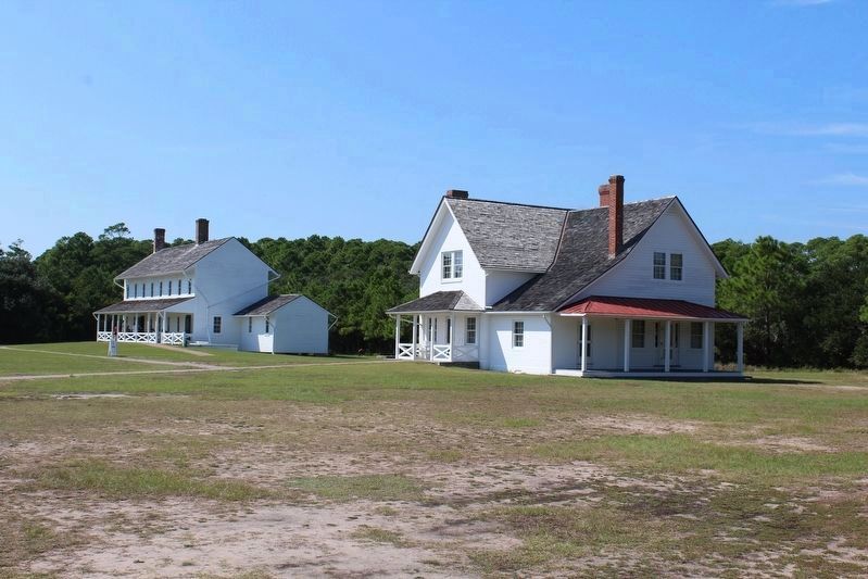
5. Keepers' Quarters
Photographed by Tom Bosse, September 19, 2021
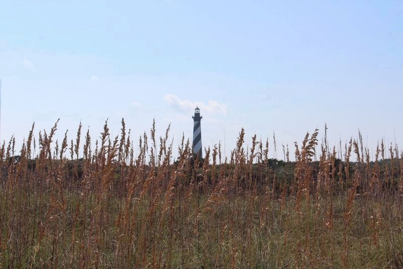
6. Cape Hatteras Lighthouse
Photographed by Tom Bosse, September 20, 2021
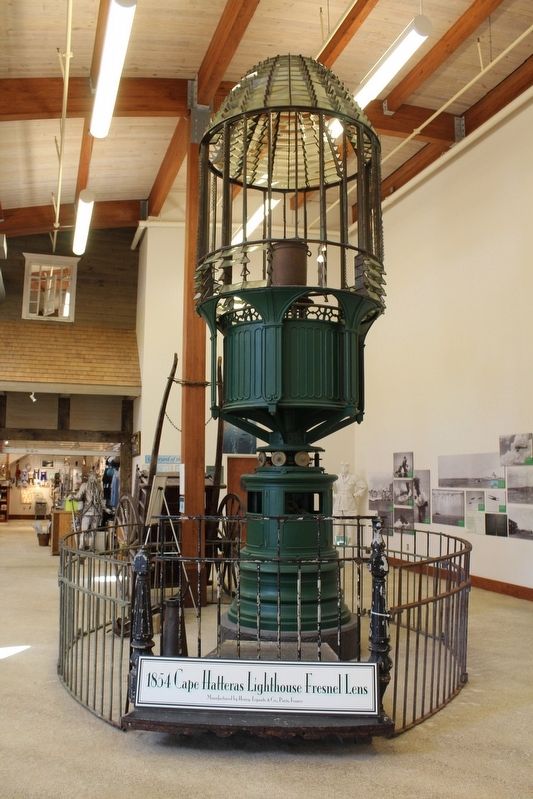
7. 1854 Cape Hatteras Lighthouse Fresnel Lens
Photographed by Tom Bosse, September 19, 2021
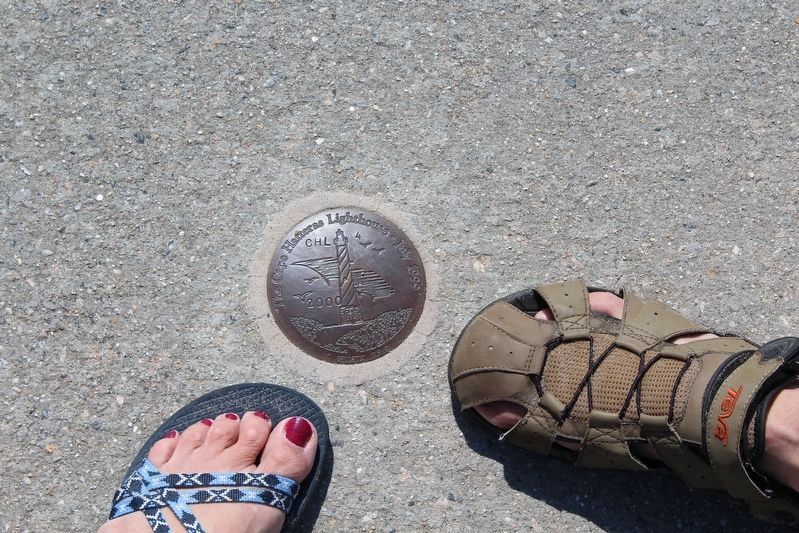
8. Cape Hatteras Lighthouse Geodetic Survey
Credits. This page was last revised on November 7, 2024. It was originally submitted on January 24, 2022, by Tom Bosse of Jefferson City, Tennessee. This page has been viewed 777 times since then and 39 times this year. Photos: 1, 2, 3, 4. submitted on January 24, 2022, by Tom Bosse of Jefferson City, Tennessee. 5. submitted on January 30, 2022, by Tom Bosse of Jefferson City, Tennessee. 6. submitted on January 24, 2022, by Tom Bosse of Jefferson City, Tennessee. 7. submitted on January 30, 2022, by Tom Bosse of Jefferson City, Tennessee. 8. submitted on January 24, 2022, by Tom Bosse of Jefferson City, Tennessee. • Bernard Fisher was the editor who published this page.
