Oakley in Contra Costa County, California — The American West (Pacific Coastal)
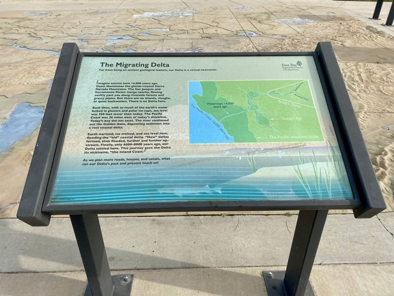
The Migrating Delta
Imagine sunrise here 14,000 years ago. Dawn illuminates the glacier-coated Sierra Nevada Mountains. The San Joaquin and Sacramento Rivers merge nearby, flowing swiftly past you along riverside forests and grassy plains. But there are no islands, sloughs, or quiet backwaters. There is no Delta here.
Back then, with so much of the earth's water locked in glaciers and polar ice caps, sea level was 350 feet lower than today. The Pacific Coast was 30 miles west of today's shoreline. Today's bay did not exist. The river continued out the Golden Gate, depositing sediment into a vast coastal delta.
Earth warmed, ice melted, and sea level rose, flooding the "old” coastal delta. “New” deltas formed, then flooded, further and further up- stream. Finally, only 6000-8000 years ago, our Delta settled here. This journey gave the Delta its nickname, “the Inland Coast."
As we plan more roads, houses, and canals, what can our Delta's past and present teach us?
Erected by East Bay Regional Parks District.
Topics. This historical marker is listed in this topic list: Environment.
Location. 38° 0.699′ N, 121° 43.711′ W. Marker is in Oakley, California, in Contra Costa County. Marker can be reached from Big Break Road. Touch for map. Marker is in this post office area: Oakley CA 94561, United States of America. Touch for directions.
Other nearby markers. At least 8 other markers are within 5 miles of this marker, measured as the crow flies. Carquinez Strait (here, next to this marker); California's Big Water Projects: How Did We Get Here? (here, next to this marker); The San Joaquin: A River Runs Dry (within shouting distance of this marker); Dredges (about 700 feet away, measured in a direct line); Stopped by Impenetrable Marshes (approx. 0.2 miles away); "...What we see and have before us is not a river, but much water in a pond" (approx. 1.3 miles away); Anza Expedition Campsite 101 (approx. 1.3 miles away); July 4, Anno Domini, 1951 (approx. 4.2 miles away). Touch for a list and map of all markers in Oakley.
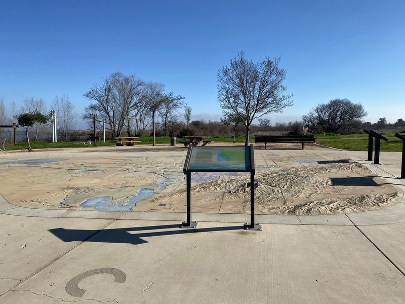
More about this marker. The marker is located in Big Break Regional Shoreline at the Delta Discovery Experience.
Credits. This page was last revised on January 24, 2022. It was originally submitted on January 24, 2022, by Andrew Ruppenstein of Lamorinda, California. This page has been viewed 336 times since then and 9 times this year. Photos: 1, 2. submitted on January 24, 2022, by Andrew Ruppenstein of Lamorinda, California.

