
Ottoville in Putnam County, Ohio — The American Midwest (Great Lakes)
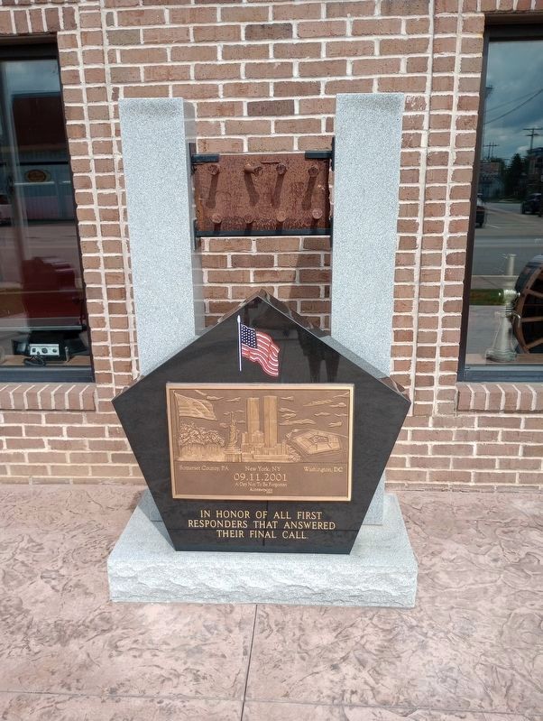
09.11.2001
Photographed by Craig Doda, July 8, 2023
1. 09.11.2001 Marker
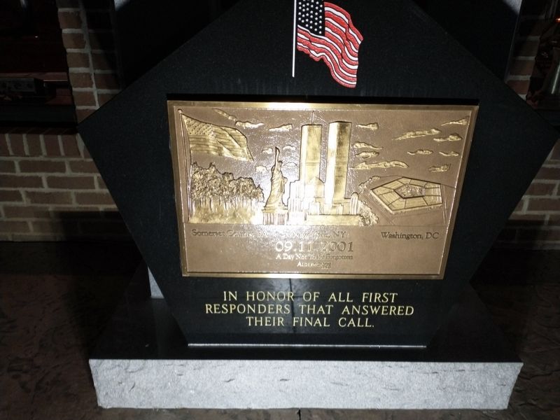
09.11.2001
A Day Not To Be Forgotten
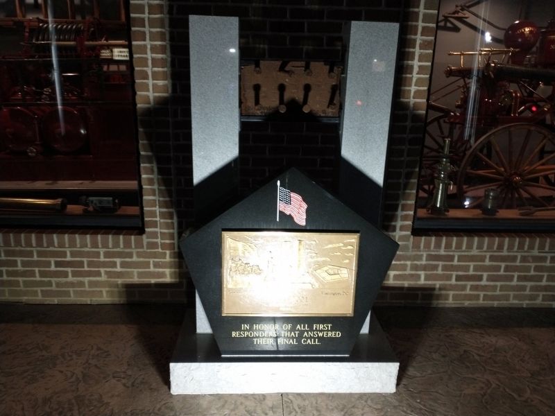
In honor of all first responders that answered their final call.
Erected by Alderwoods Group.
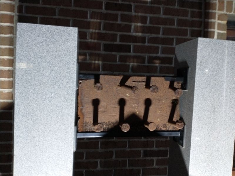
Topics and series. This memorial is listed in this topic list: 9/11 Attacks. In addition, it is included in the Alderwoods 09.11.2001 Memorials, and the World Trade Center Beams series lists.
Location. 40° 55.943′ N, 84° 20.355′ W. Memorial is in Ottoville, Ohio, in Putnam County. It is on W. Canal Street, on the right when traveling north. Touch for map. Memorial is in this post office area: Ottoville OH 45876, United States of America. Touch for directions.

Regionally, this memorial is in Ohio’s Black Swamp and in the Till Plains. It is also in the American Midwest and in the Corn Belt. Globally, it is in North America, the Western Hemisphere, the Western World, and the Anglosphere. Historically, it finds itself in what was once the Haudenosaunee (Iroquois) Confederacy, the territory of the Mississippian Culture, and the Northwest Territory.
Other nearby markers. At
this page online
Another marker is no longer nearby. Fort Jennings (was about 600 feet away, measured in a direct line but has been confirmed missing).
Photographed by Craig Doda, January 22, 2022
2. 09.11.2001 Marker
Photographed by Craig Doda, January 22, 2022
3. 09.11.2001 Marker
Photographed by Craig Doda, January 22, 2022
4. 09.11.2001 Marker
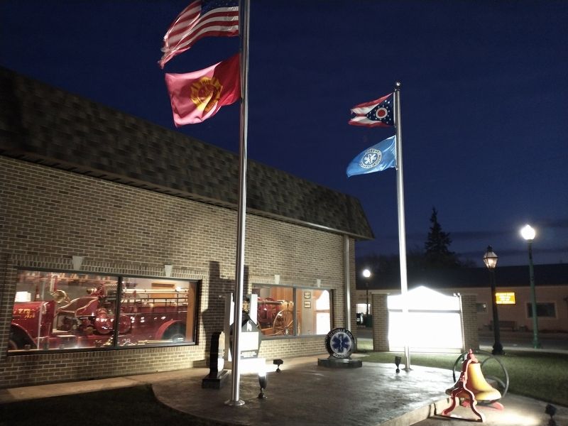
Photographed by Craig Doda, January 22, 2022
5. 09.11.2001 Marker
Credits. This page was last revised on July 22, 2023. It was originally submitted on January 25, 2022, by Craig Doda of Napoleon, Ohio. This page has been viewed 375 times since then and 35 times this year. Photos: 1. submitted on July 10, 2023, by Craig Doda of Napoleon, Ohio. 2, 3, 4, 5. submitted on January 25, 2022, by Craig Doda of Napoleon, Ohio. • Andrew Ruppenstein was the editor who published this page.
