Near Big Timber in Sweet Grass County, Montana — The American West (Mountains)
Clark the Cartographer
Photographed by Barry Swackhamer, July 23, 2021
1. Clark the Cartographer Marker
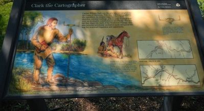
Captions: (background) Captain William Clark obtaining a compass bearing from point of observation to another, a process known as shooting a bearing.; (maps, bottom right, top & bottom) Clarks map - July 16-18, 1806; Contemporary Map.
Several creeks in the Yellowstone Valley were named after Corp of Discovery members or dramatic incidents. Private Gibson was thrown from his horse and pierced his thigh on a snag. The wound, two inches deep, left him in great pain. Clark named a creek "Thy Snag'd Creek."
Using mostly a surveyor's compass, field observations and estimates, Clark drew nearly 5,000 mils of new mapping. Amazingly, his measurements were only off by a mere 5%.
Erected by Lewis and Clark National Historic Trail.
Topics and series. This historical marker is listed in this topic list: Exploration. In addition, it is included in the Lewis & Clark Expedition series list.
Location. 45° 49.465′ N,
this page online

Regionally, this marker is in Yellowstone Country. It is also in the American Mountain West and in the Lewis & Clark Corridor. Globally, it is in North America, the Rocky Mountains, the Western Hemisphere, the Western World, and the Anglosphere. Historically, it finds itself in what was once Rupert’s Land and also the Louisiana Purchase.
Other nearby markers. At least 8 other markers are within walking distance of this marker: The Lewis and Clark Expedition (here, next to this marker); "...all in blume..." (here, next to this marker); A busy three days in Sweet Grass County (here, next to this marker); Clark camps at Little Timber Creek (here, next to this marker); The Bonanza or Bozeman Trail (approx.
Photographed by Barry Swackhamer, July 23, 2021
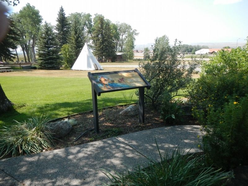
2. Clark the Cartographer Marker
Credits. This page was last revised on January 28, 2022. It was originally submitted on January 28, 2022, by Barry Swackhamer of Brentwood, California. This page has been viewed 383 times since then and 48 times this year. Photos: 1, 2. submitted on January 28, 2022, by Barry Swackhamer of Brentwood, California.
