Near Liberty Center in Henry County, Ohio — The American Midwest (Great Lakes)
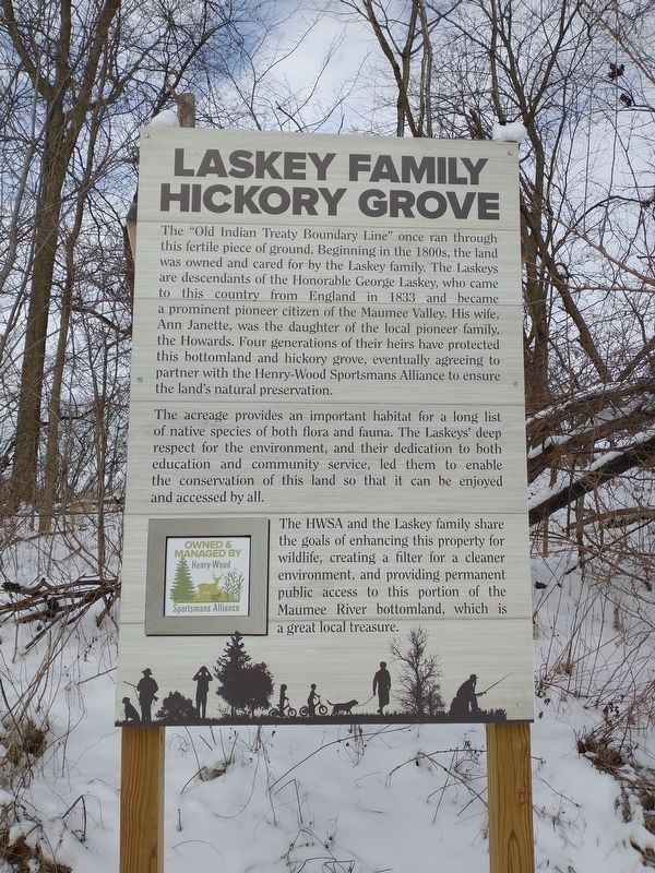
Laskey Family Hickory Grove
The "Old Indian Treaty Boundary Line” once ran through this fertile piece of ground. Beginning in the 1800s, the land was owned and cared for by the Laskey family. The Laskeys are descendants of the Honorable George Laskey, who came to this country from England in 1833 and became a prominent pioneer citizen of the Maumee Valley. His wife, Ann Janette, was the daughter of the local pioneer family, the Howards. Four generations of their heirs have protected this bottomland and hickory grove, eventually agreeing to partner with the Henry-Wood Sportsmans Alliance to ensure the land's natural preservation.
The acreage provides an important habitat for a long list of native species of both flora and fauna. The Laskeys' deep respect for the environment, and their dedication to both education and community service, led them to enable the conservation of this land so that it can be enjoyed and accessed by all.
The HWSA and the Laskey family share the goals of enhancing this property for wildlife, creating a filter for a cleaner environment, and providing permanent public access to this portion of the Maumee River bottomland, which is a great local treasure.
Erected by Henry-Wood Sportsman Alliance.
Topics. This historical marker is listed in these topic lists: Horticulture & Forestry • Native Americans • Settlements & Settlers. A significant historical year for this entry is 1833.
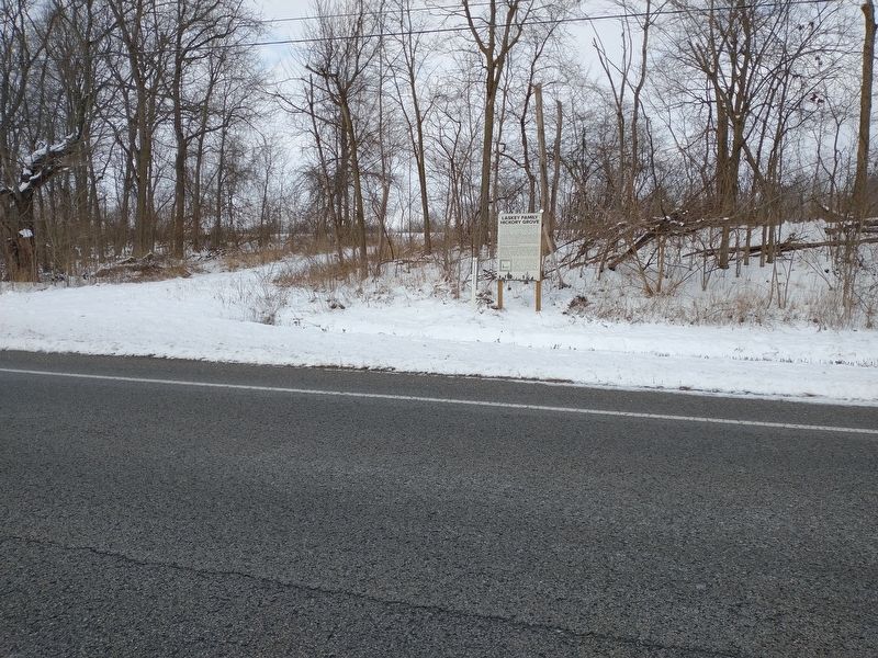
Location. 41° 25.304′ N, 83° 54.835′ W. Marker is near Liberty Center, Ohio, in Henry County. Marker is on Old U.S. 24, 0.2 miles Local Road 2b, on the right when traveling west. Touch for map. Marker is in this post office area: Liberty Center OH 43532, United States of America. Touch for directions.
Other nearby markers. At least 8 other markers are within 3 miles of this marker, measured as the crow flies. Site of Rice Lock 42 (approx. 0.3 miles away); Lock 43 (approx. ¾ mile away); James Durbin (approx. 1.7 miles away); Grand Rapids (approx. 1.8 miles away); St. Patrick Church (approx. 2.1 miles away); Providence Historical District (approx. 2.1 miles away); The 150th Anniversary of the Great Starvation (approx. 2.1 miles away); Texas Veterans Memorial (approx. 2.1 miles away). Touch for a list and map of all markers in Liberty Center.
Credits. This page was last revised on February 9, 2024. It was originally submitted on January 29, 2022, by Craig Doda of Napoleon, Ohio. This page has been viewed 222 times since then and 35 times this year. Last updated on January 19, 2024, by Craig Doda of Napoleon, Ohio. Photos: 1, 2, 3. submitted on January 29, 2022, by Craig Doda of Napoleon, Ohio. • J. Makali Bruton was the editor who published this page.


