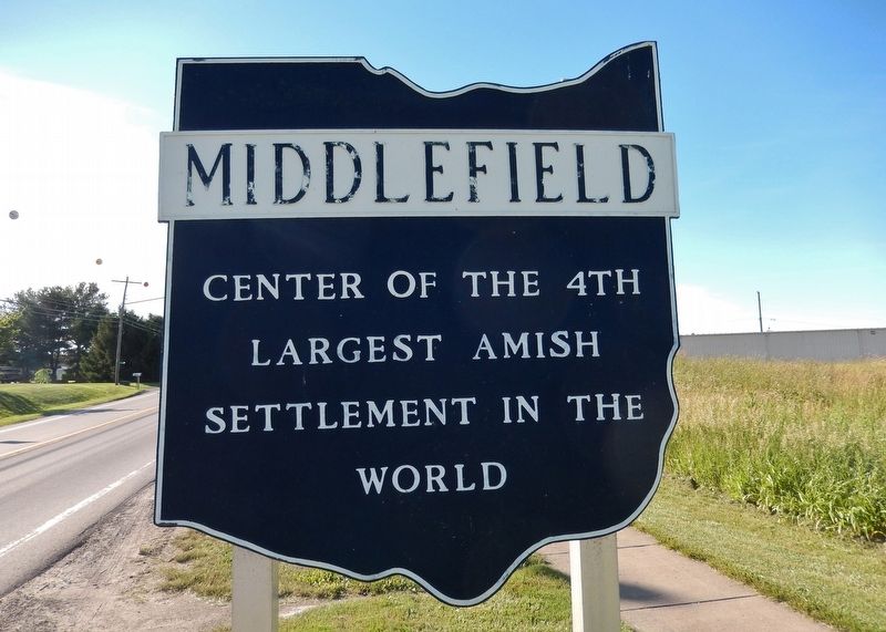
Middlefield in Geauga County, Ohio — The American Midwest (Great Lakes)
Middlefield
largest Amish
settlement in the
world
Erected by Ohio Historical Society; Ohio Department of Transportation; and Ohio Bicentennial Commission.
Topics and series. This historical marker is listed in these topic lists: Agriculture • Churches & Religion • Settlements & Settlers. In addition, it is included in the Ohio Historical Society / The Ohio History Connection series list.
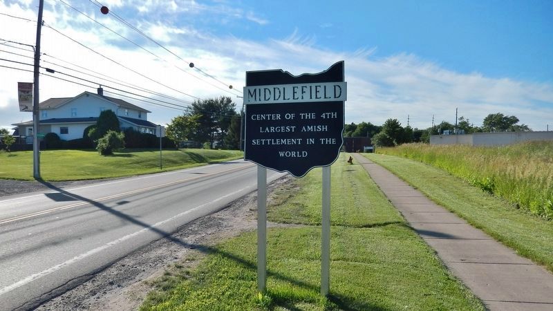
Location. 41° 27.039′ N, 81° 4.33′ W. Marker is in Middlefield, Ohio, in Geauga County. Marker is on Old State Road (Ohio Route 608) 1.3 miles south of Kinsman Road (West High Street) (Ohio Route 87), on the left when traveling south. Touch for map. Marker is in this post office area: Middlefield OH 44062, United States of America. Touch for directions.
Other nearby markers. At least 8 other markers are within 4 miles of this marker, measured as the crow flies. Batavia House (approx. 0.7 miles away); Welton Cemetery (approx. 3.9 miles away); The Hickox Brick (approx. 4 miles away); Burton (approx. 4 miles away); The Burton Village Historic District (approx. 4 miles away); Under This Penstock Base (approx. 4 miles away); Welcome To Burton's Historic District (approx. 4 miles away); Erected to the Memory of the Soldiers of the American Revolution (approx. 4.1 miles away).
Also see . . . Middlefield Village History.
In February of 1799, James Thompson and his father Isaac Thompson became Middlefleld’s first permanent residents. Middlefield was actually the third name change for the territory. The first was “Burton”, then “Batavia”, and finally Middlefield in 1841, because it was midway between Painesville and Warren. State Route 608, or “Old State Road”, was built in the late 1700’s and early 1800’s. The settlers deviated from the surveyed route to avoid deep gullies and swampy areas. This road opened up the territory for development.(Submitted on January 29, 2022, by Cosmos Mariner of Cape Canaveral, Florida.)
Credits. This page was last revised on January 29, 2022. It was originally submitted on January 29, 2022, by Cosmos Mariner of Cape Canaveral, Florida. This page has been viewed 301 times since then and 87 times this year. Photos: 1, 2. submitted on January 29, 2022, by Cosmos Mariner of Cape Canaveral, Florida.

