Waxahachie in Ellis County, Texas — The American South (West South Central)
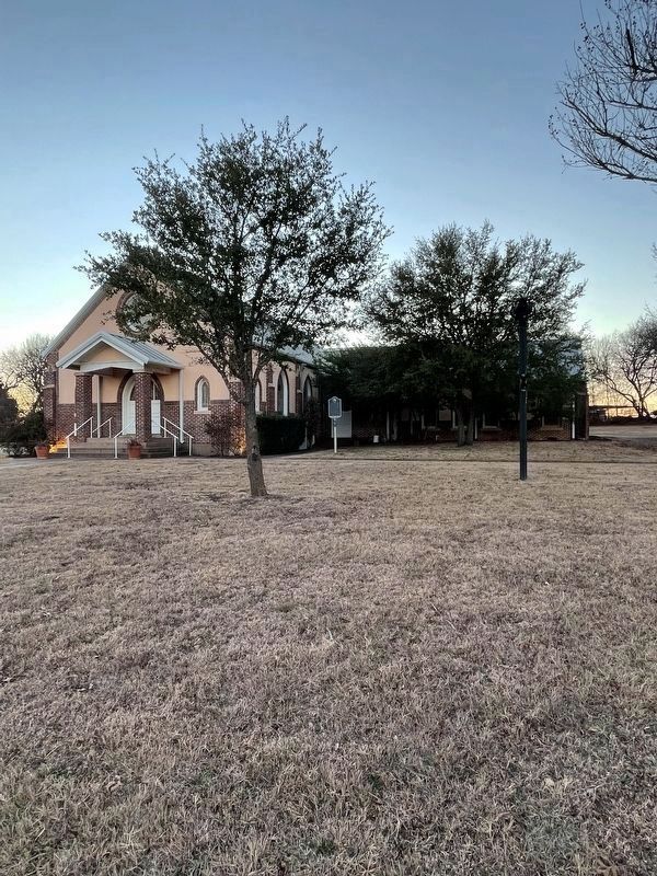
Bethel Methodist Church
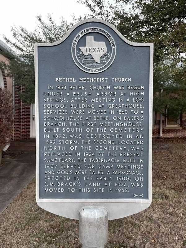
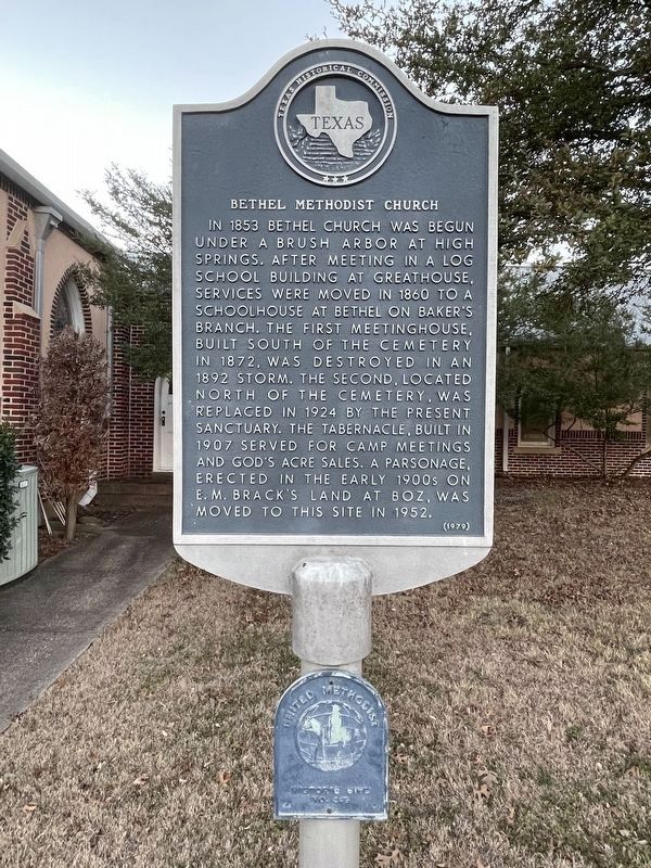
In 1853 Bethel Church was begun under a brush arbor at High Springs. After meeting in a log school building at Greathouse, services were moved in 1860 to a schoolhouse at Bethel on Baker's Branch. The first meetinghouse, built south of the cemetery in 1872, was destroyed in an 1892 storm. The second, located north of the cemetery, was replaced in 1924 by the present sanctuary. The tabernacle, built in 1907, served for camp meetings and God's Acre sales. A parsonage, erected in the early 1900s on E.M. Brack's land at Boz, was moved to this site in 1952.
Erected 1979 by Texas Historical Commission. (Marker Number 7085.)
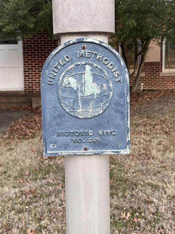
Topics and series. This historical marker is listed in these topic lists: Churches & Religion • Settlements & Settlers. In addition, it is included in the United Methodist Church Historic Sites series list. A significant historical year for this entry is 1853.
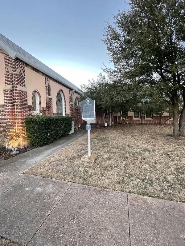
Location. 32° 17.723′ N, 96° 54.899′ W. Marker is in Waxahachie, Texas, in Ellis County. Marker is on Bethel Road. Touch for map. Marker is at or near this postal address: 534 Bethel Road, Maypearl TX 76064, United States of America. Touch for directions.
Other nearby markers. At least 8 other markers are within 7 miles of this marker, measured as the crow flies. Bethel Cemetery (within shouting distance of this marker); Jefferson Dunaway Home (approx. 0.8 miles away); Greathouse Community, Church, and Cemetery (approx. 2 miles away); McKinney-Aday Farm House (approx. 4.4 miles away); Chambers' Creek (approx. 4.6 miles away); Oak Branch Cemetery (approx. 4.7 miles away); World War II 1941-1945 (approx. 5.7 miles away); Maypearl Cemetery (approx. 6.2 miles away). Touch for a list and map of all markers in Waxahachie.
Credits. This page was last revised on January 30, 2022. It was originally submitted on January 30, 2022, by J Frye of Fort Worth, Texas. This page has been viewed 304 times since then and 50 times this year. Photos: 1, 2, 3, 4, 5. submitted on January 30, 2022, by J Frye of Fort Worth, Texas. • J. Makali Bruton was the editor who published this page.
