Near Waskish in Beltrami County, Minnesota — The American Midwest (Upper Plains)
The Bog That Couldn't Be Tamed
Taking on the Bog
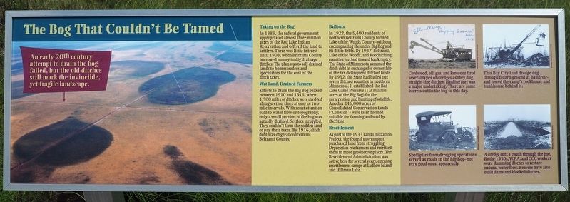
In 1889, the federal government appropriated almost three million acres of the Red Lake Indian Reservation and offered the land to settlers. There was little interest until 1908, when Beltrami County borrowed money to dig drainage ditches. The plan was to sell drained lands to homesteaders and speculators for the cost of the ditch taxes.
Wet Land, Drained Farmers
Efforts to drain the Big Bog peaked between 1910 and 1916, when 1,500 miles of ditches were dredged along section lines at one- or two-mile intervals. With scant attention paid to water flow or topography, only a small portion of the bog was actually drained. Settlers struggled. They couldn't farm the sodden land or pay their taxes. By 1916, ditch debt was of great concern in Beltrami County.
Bailouts
In 1922, the 5,400 residents of northern Beltrami County formed Lake of the Woods County—without encompassing the entire Big Bog and its ditch debts. By 1927, Beltrami, Lake of the Woods, and Koochiching counties lurched toward bankruptcy. The State of Minnesota assumed the ditch debt in exchange for ownership of the tax-delinquent ditched lands. By 1932, the State had bailed out seven ditched counties in northern Minnesota. It established the Red Lake Game Preserve (1.3 million acres of the Big Bog) for the preservation and hunting of wildlife. Another 146,000 acres of Consolidated Conservation Lands ("Con-Con") were later deemed suitable for farming and sold by the State.
Resettlement
As part of the 1933 Land Utilization Project, the federal government purchased land from struggling Depression-era farmers and resettled them in more productive places. The Resettlement Administration was active here for several years, opening resettlement camps at Ludlow Island and Hillman Lake.
Cordwood, oil, gas, and kerosene fired several types of dredges as they dug straight-line ditches. Hauling fuel was a major undertaking. There are some barrels out in the bod to this day.
This Bay City land dredge dug through frozen ground at Baudette—and towed the camp's cookhouse and bunkhouse behind it.
Spoil piles from dredging operations served as roads in the Big Bog—not very good ones, apparently.
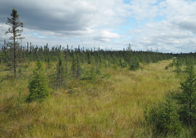
A dredge cuts a swatch through the bog. By the 1930s, W.P.A. and CCC workers were damming ditches to restore natural water flow. beavers have also built dams and blocked ditches.
Erected by Minnesota Department of Natural Resources.
Topics. This historical marker is listed
in these topic lists: Agriculture • Charity & Public Work • Settlements & Settlers. A significant historical year for this entry is 1908.
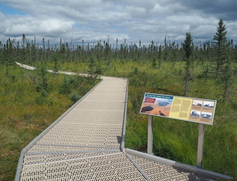
Location. 48° 17.668′ N, 94° 34.01′ W. Marker is near Waskish, Minnesota, in Beltrami County. Marker can be reached from State Highway 72, on the left when traveling north. The marker is in the northern unit of Big Bog State Recreation Area (fee area), on the Bog Boardwalk trail. Touch for map. Marker is in this post office area: Waskish MN 56685, United States of America. Touch for directions.
Other nearby markers. At least 7 other markers are within 9 miles of this marker, measured as the crow flies. The Big Bog's Caribou Band (approx. 0.2 miles away); The Patterned Peatland: Rare and Valuable (approx. 0.3 miles away); Ludlow Island History (approx. half a mile away); The Old Waskish Town Site (approx. 8.6 miles away); Harry Davidson (approx. 8.6 miles away); The Marina (approx. 8.8 miles away); Where There is Smoke / Forests of the Agassiz Lowlands (approx. 9 miles away).
Credits. This page was last revised on February 1, 2022. It was originally submitted on January 30, 2022, by McGhiever of Minneapolis, Minnesota. This page has been viewed 488 times since then and 65 times this year. Photos: 1, 2, 3. submitted on January 30, 2022, by McGhiever of Minneapolis, Minnesota. • J. Makali Bruton was the editor who published this page.


