Maypearl in Ellis County, Texas — The American South (West South Central)
Maypearl Cemetery
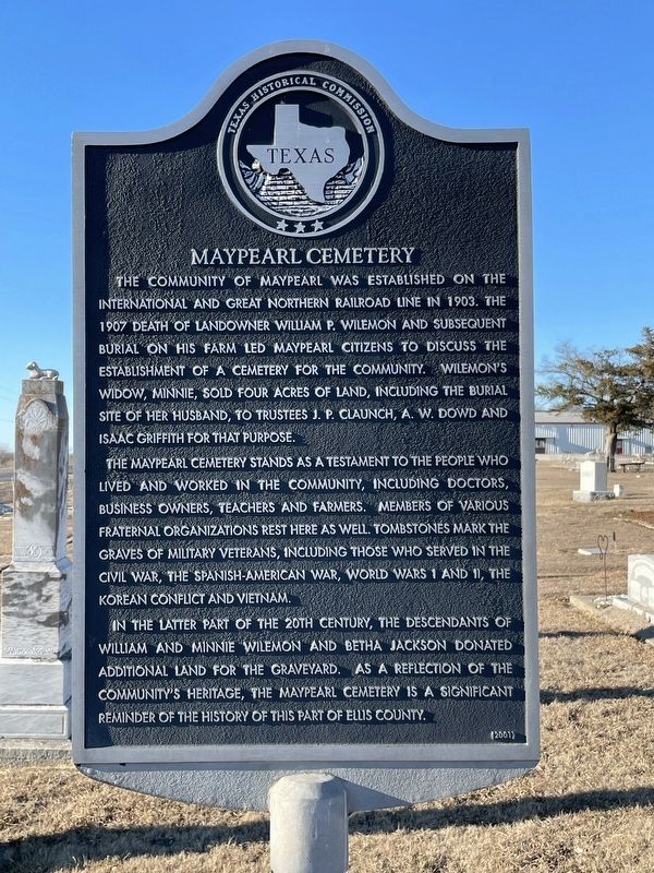
The community of Maypearl was established on the International and Great Northern Railroad line in 1903. The 1907 death of landowner William P. Wilemon and subsequent burial on his farm led Maypearl citizens to discuss the establishment of a cemetery for the community. Wilemon's widow, Minnie, sold four acres of land, including the burial site of her husband, to trustees J. P. Claunch, A. W. Dowd and Isaac Griffith for that purpose.
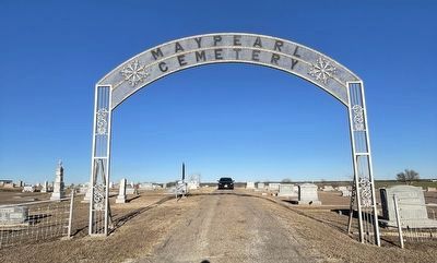
The Maypearl Cemetery stands as a testament to the people who lived and worked in the community, including doctors, business owners, teachers and farmers. Members of various fraternal organizations rest here as well. Tombstones mark the graves of military veterans, including those who served in the Civil War, the Spanish-American War, World Wars I and II, the Korean conflict and Vietnam.
In the latter part of the 20th century, the descendants of William and Minnie Wilemon and Betha Jackson donated additional land for the graveyard. As a reflection of the community's heritage, the Maypearl Cemetery is a significant reminder of the history of this part of Ellis County.
Erected 2001 by Texas Historical Commission. (Marker Number 12557.)
Topics. This historical marker is listed in these topic lists: Cemeteries & Burial Sites • Railroads & Streetcars • Settlements & Settlers. A significant historical year for this entry is 1903.
Location. 32° 19.016′ N, 97° 1.054′ W. Marker is in Maypearl, Texas, in Ellis County. Marker is on Farm to Market Road 157 north of Phillips Street, on the right when traveling north. Touch for map. Marker is in this post office area: Maypearl TX 76064, United States of America. Touch for directions.
Other nearby markers. At least 8 other markers are within 10 miles of this marker, measured as the crow flies. Ozro Cemetery (approx. 2.6 miles away); Oak Branch Cemetery (approx. 3 miles away); Greathouse Community, Church, and Cemetery (approx. 4.2 miles away); Jefferson Dunaway Home (approx. 6.1 miles away); Bethel Methodist Church (approx. 6.2 miles away); Bethel Cemetery (approx. 6.2 miles away); McKinney-Aday Farm House (approx. 7.6 miles away); Sardis Cemetery (approx. 9.9 miles away). Touch for a list and map of all markers in Maypearl.
Credits. This page was last revised on February 4, 2022. It was originally submitted on February 1, 2022, by J Frye of Fort Worth, Texas. This page has been viewed 225 times since then and 29 times this year. Photos: 1, 2, 3. submitted on February 1, 2022, by J Frye of Fort Worth, Texas. • J. Makali Bruton was the editor who published this page.


