Frisco in Collin County, Texas — The American South (West South Central)
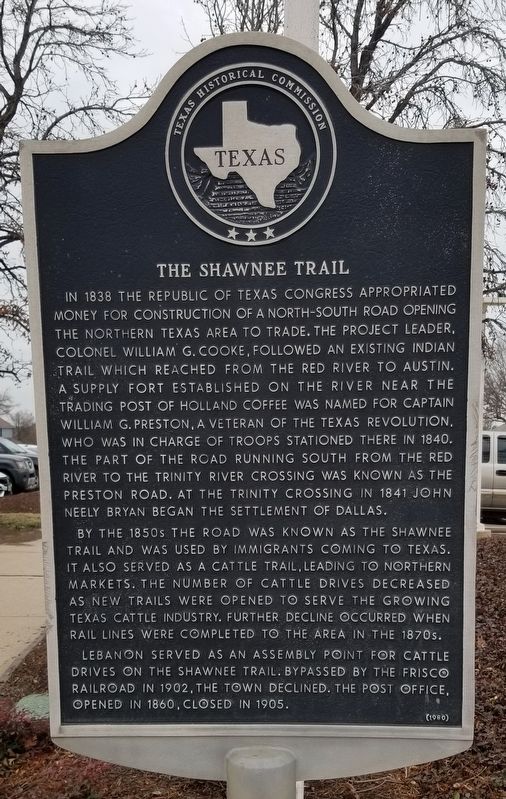
The Shawnee Trail
By the 1850s the road was known as the Shawnee Trail and was used by immigrants coming to Texas. It also served as a cattle trail, leading to northern markets. The number of cattle drives decreased as new trails were opened to serve the growing Texas cattle industry. Further decline occurred when rail lines were completed to the area in the 1870s.
Lebanon served as an assembly point for cattle drives on the Shawnee Trail. Bypassed by the Frisco Railroad in 1902, the town declined. The post office, opened in 1860, closed in 1905.
Erected 1980 by Texas Historical Commission. (Marker Number 6201.)
Topics. This historical marker is listed in these topic lists: Animals • Roads & Vehicles • Settlements & Settlers. A significant historical year for this entry is 1838.
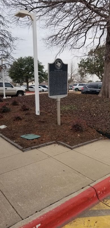
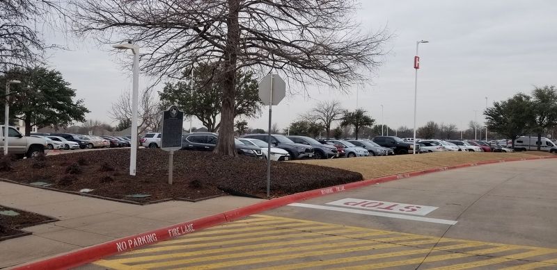
Location. 33° 7.887′ N, 96° 47.689′ W. Marker is in Frisco, Texas, in Collin County. Marker can be reached from the intersection of Wade Boulevard and Ohio Drive. The marker is located in the western section of the Collin College - Frisco Preston Ridge Campus in front of the Heritage Hall building near the parking lot. Touch for map. Marker is at or near this postal address: 9700 Wade Boulevard, Frisco TX 75035, United States of America. Touch for directions.
Other nearby markers. At least 8 other markers are within 2 miles of this marker, measured as the crow flies. Frisco Methodist Church (approx. 0.9 miles away); Military Survey of Preston Road (approx. 1.7 miles away); Origins: Cattle Country (approx. 1.8 miles away); Site of Lebanon (approx. 1.9 miles away); American Bison (approx. 2 miles away); Trail Driving Prior to 1845 (approx. 2 miles away); The Texas Longhorn (approx. 2 miles away); The Cow Camp (approx. 2.1 miles away). Touch for a list and map of all markers in Frisco.
Also see . . . Shawnee Trail.
Of the principal routes by which Texas longhorn cattle were taken afoot to railheads to the north, the earliest and easternmost was the Shawnee Trail. Used before and just after the Civil War, the Shawnee Trail gathered cattle from east and west of its main stem, which passed through Austin, Waco, and Dallas. It crossed the Red River at Rock Bluff, near Preston, and led north along the eastern edge of what became Oklahoma, a route later followed closely by the Missouri-Kansas-Texas Railroad. The drovers took over a trail long used by Indians in hunting and raiding and by southbound settlers from the Midwest; the latter called it the Texas Road. Source: The Handbook of Texas(Submitted on February 2, 2022, by James Hulse of Medina, Texas.)
Credits. This page was last revised on February 2, 2022. It was originally submitted on February 2, 2022, by James Hulse of Medina, Texas. This page has been viewed 532 times since then and 86 times this year. Photos: 1, 2, 3. submitted on February 2, 2022, by James Hulse of Medina, Texas.


