South Norfolk in Chesapeake, Virginia — The American South (Mid-Atlantic)
Veterans Memorial
Photographed by Brandon D Cross, January 18, 2022
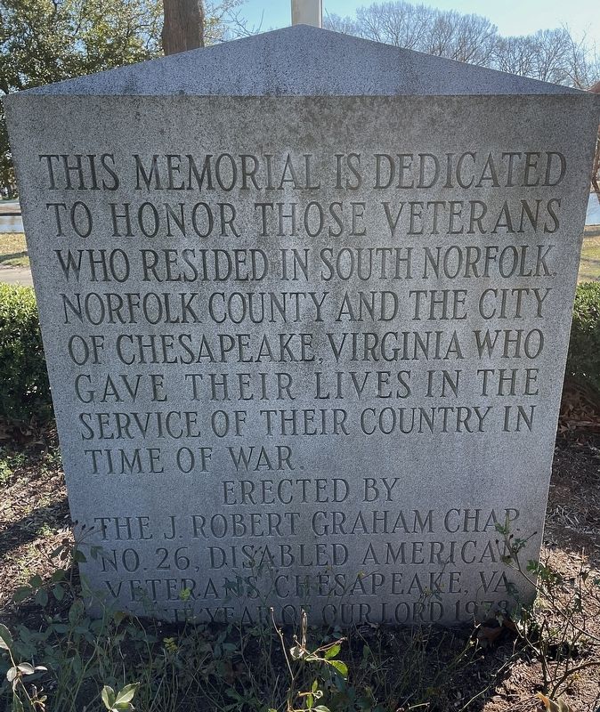
1. Veterans Memorial
to honor those veterans
who resided in South Norfolk
Norfolk County and the City
of Chesapeake, Virginia who
gave their lives in the
service of their country in
time of war.
Erected by
The J. Robert Graham Chap.
No. 26, Disabled American
Veterans, Chesapeake, VA
In the year of our Lord 1978
Erected 1978 by The J Robert Graham Chapter No. 26, Disabled American Veterans.
Topics. This historical marker and memorial is listed in this topic list: Military.
Location. 36° 48.625′ N, 76° 16.626′ W. Marker is in Chesapeake, Virginia. It is in South Norfolk. It is at the intersection of Bainbridge Boulevard and Holly Avenue, on the right when traveling north on Bainbridge Boulevard. Marker located in the northwestern section of Lakeside Veterans Park. Touch for map. Marker is at or near this postal address: 1441 Bainbridge Boulevard, Chesapeake VA 23324, United States of America. Touch for directions.

Regionally, this marker and memorial is in Hampton Roads, specifically in Coastal Virginia, and in the Hampton Roads
this page online
Other nearby markers. At least 8 other markers are within 2 miles of this marker, measured as the crow flies: The South Norfolk Historic District (about 700 feet away, measured in a direct line); Jordan Bridge (approx. 0.3 miles away); Carl Moore Jordan (approx. 0.6 miles away); Construction and Opening (approx. 0.6 miles away); Wreck and Repair (approx. 0.6 miles away); Timeline of Bridge History (approx. 0.6 miles away); Urban Archaeology (approx. 1.3 miles away); Norfolk Naval Shipyard (approx. 1.3 miles away). Touch for a list and map of all markers in Chesapeake.
Photographed by Brandon D Cross, January 18, 2022
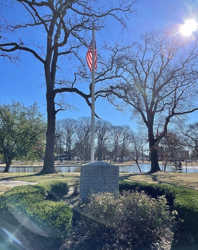
2. Veterans Memorial
Photographed by Brandon D Cross, January 18, 2022
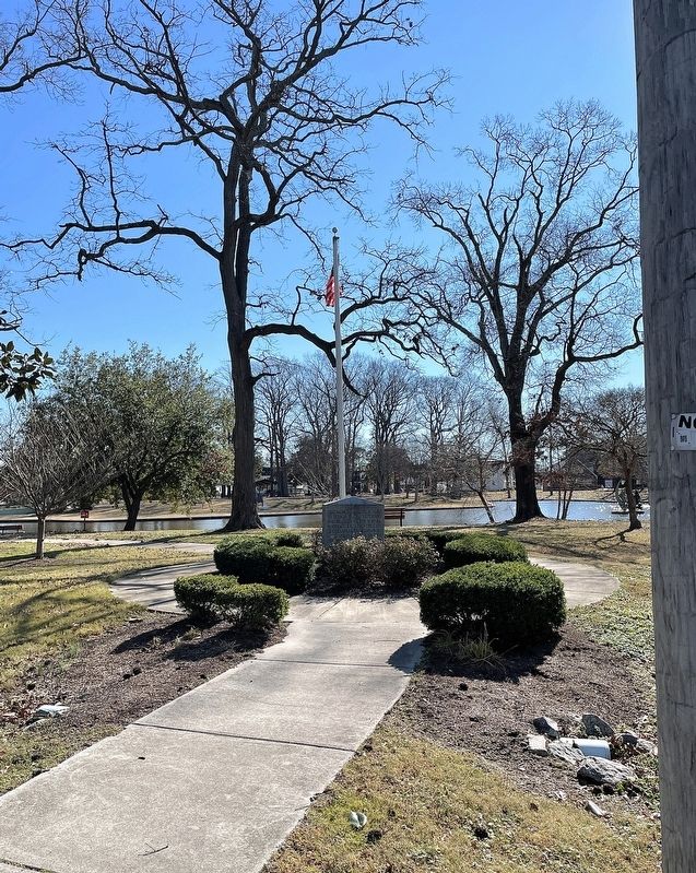
3. Veterans Memorial
Credits. This page was last revised on February 1, 2023. It was originally submitted on February 2, 2022, by Brandon D Cross of Flagler Beach, Florida. This page has been viewed 462 times since then and 31 times this year. Photos: 1, 2, 3. submitted on February 2, 2022, by Brandon D Cross of Flagler Beach, Florida. • Andrew Ruppenstein was the editor who published this page.
