Hickory Corners in Barry County, Michigan — The American Midwest (Great Lakes)
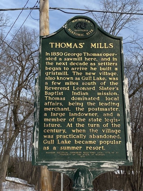
Thomasí Mills
Erected 1970 by Michigan Historical Commission. (Marker Number L87.)
Topics and series. This historical marker is listed in these topic lists: Industry & Commerce • Settlements & Settlers • Waterways & Vessels. In addition, it is included in the Michigan Historical Commission series list. A significant historical year for this entry is 1850.
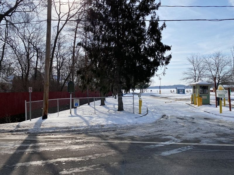
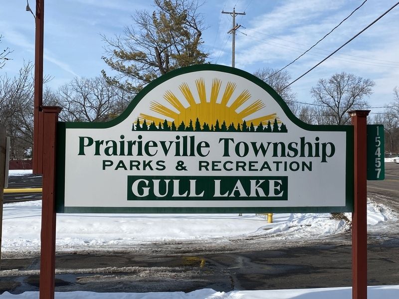
Location. 42° 25.639′ N, 85° 25.706′ W. Marker is in Hickory Corners, Michigan, in Barry County. Marker is on South M-43 Highway (State Highway 43) near Bendere Road, on the right when traveling east. The marker is just east of the entrance to the Prairieville Township Gull Lake Park. Touch for map. Marker is at or near this postal address: 15475 M-43, Hickory Corners MI 49060, United States of America. Touch for directions.
Other nearby markers. At least 8 other markers are within 8 miles of this marker, measured as the crow flies. W.K. Kellogg House (approx. 2 miles away); Welcome to the W.K. Kellogg Bird Sanctuary (approx. 3.2 miles away); Community Library (approx. 3.7 miles away); Dr. Richard Kik (approx. 3.8 miles away); The First Presbyterian Church (approx. 3.8 miles away); Richland Veterans Memorial (approx. 3.8 miles away); First Religious Service in Kalamazoo County (approx. 3.8 miles away); Builders Medad, Casey, Chauncey and Darwin McKay (approx. 7Ĺ miles away).
Credits. This page was last revised on February 4, 2022. It was originally submitted on February 3, 2022, by J.T. Lambrou of New Boston, Michigan. This page has been viewed 514 times since then and 62 times this year. Photos: 1, 2, 3. submitted on February 3, 2022, by J.T. Lambrou of New Boston, Michigan. • J. Makali Bruton was the editor who published this page.


