Hastings in Barry County, Michigan — The American Midwest (Great Lakes)
Hope Township District No. 4 School
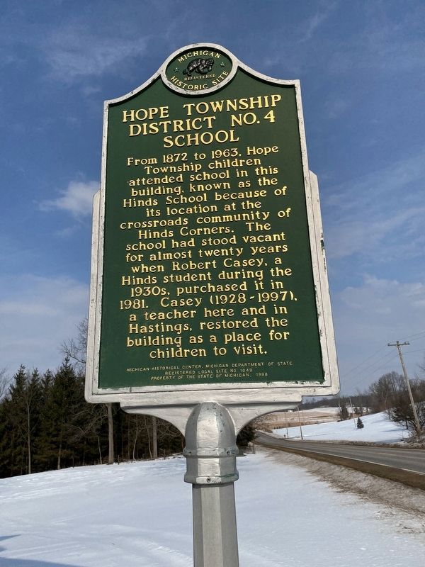
Photographed by J.T. Lambrou
1. Hope Township District No. 4 School Marker
Erected 1998 by Michigan Historical Center, Michigan Department of State. (Marker Number L1049.)
Topics and series. This historical marker is listed in this topic list: Education. In addition, it is included in the Michigan Historical Commission series list. A significant historical year for this entry is 1872.
Location. 42° 34.403′ N, 85° 19.368′ W. Marker is in Hastings, Michigan, in Barry County. It is at the intersection of Cedar Creek Road and West Brogan Road, on the right when traveling south on Cedar Creek Road. Touch for map. Marker is at or near this postal address: 5500 Cedar Creek Road, Hastings MI 49058, United States of America. Touch for directions.

Regionally, this marker is in West Michigan and in Greater
this page online
Other nearby markers. At least 8 other markers are within 6 miles of this marker, measured as the crow flies: Hastings High School World War I Memorial (approx. 5.1 miles away); Central School / Central School Auditorium (approx. 5.2 miles away); McKeown Road Bridge (approx. 5.3 miles away); Methodist Episcopal Church (approx. 5.3 miles away); Striker House (approx. 5.4 miles away); George W. Lowry House (approx. 5.4 miles away); Hastings City Bank (approx. 5.4 miles away); a different marker also named Hastings City Bank (approx. 5.4 miles away). Touch for a list and map of all markers in Hastings.
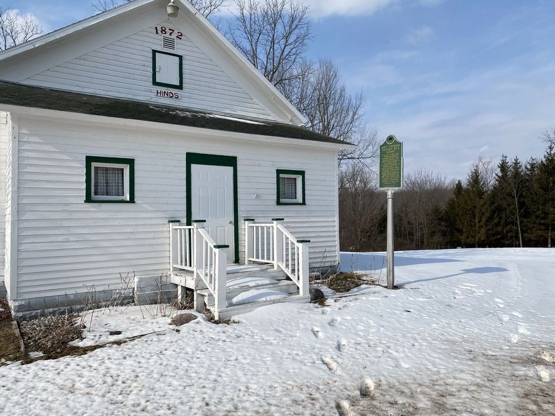
Photographed by J.T. Lambrou
2. Hope Township District No. 4 School Marker
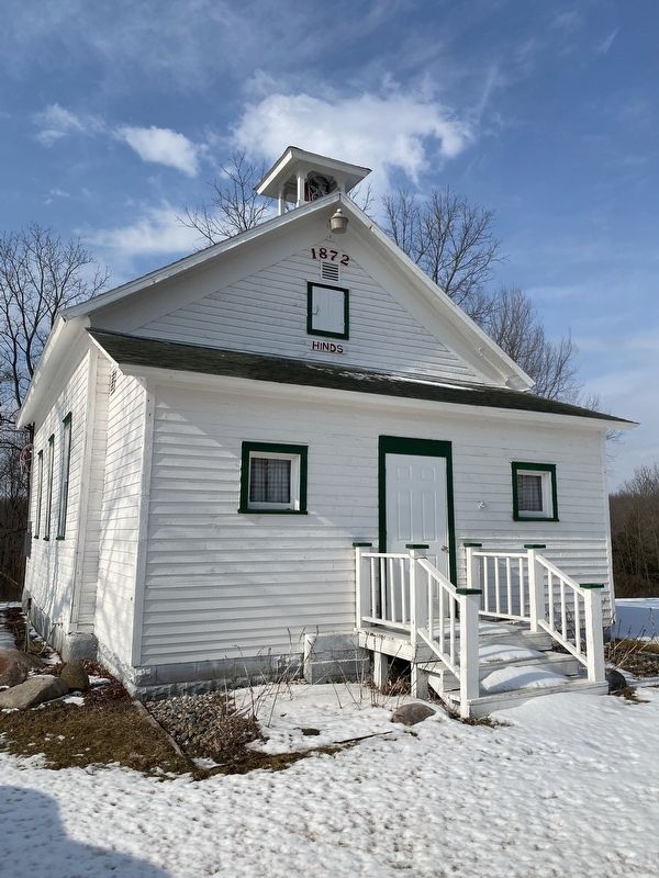
Photographed by J.T. Lambrou
3. Hope Township District No. 4 School
Credits. This page was last revised on February 4, 2022. It was originally submitted on February 3, 2022, by J.T. Lambrou of New Boston, Michigan. This page has been viewed 634 times since then and 50 times this year. Photos: 1, 2, 3. submitted on February 3, 2022, by J.T. Lambrou of New Boston, Michigan. • J. Makali Bruton was the editor who published this page.
