Falls Church, Virginia — The American South (Mid-Atlantic)
Mt. Hope
Inscription.
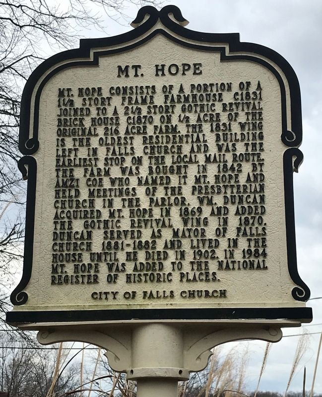
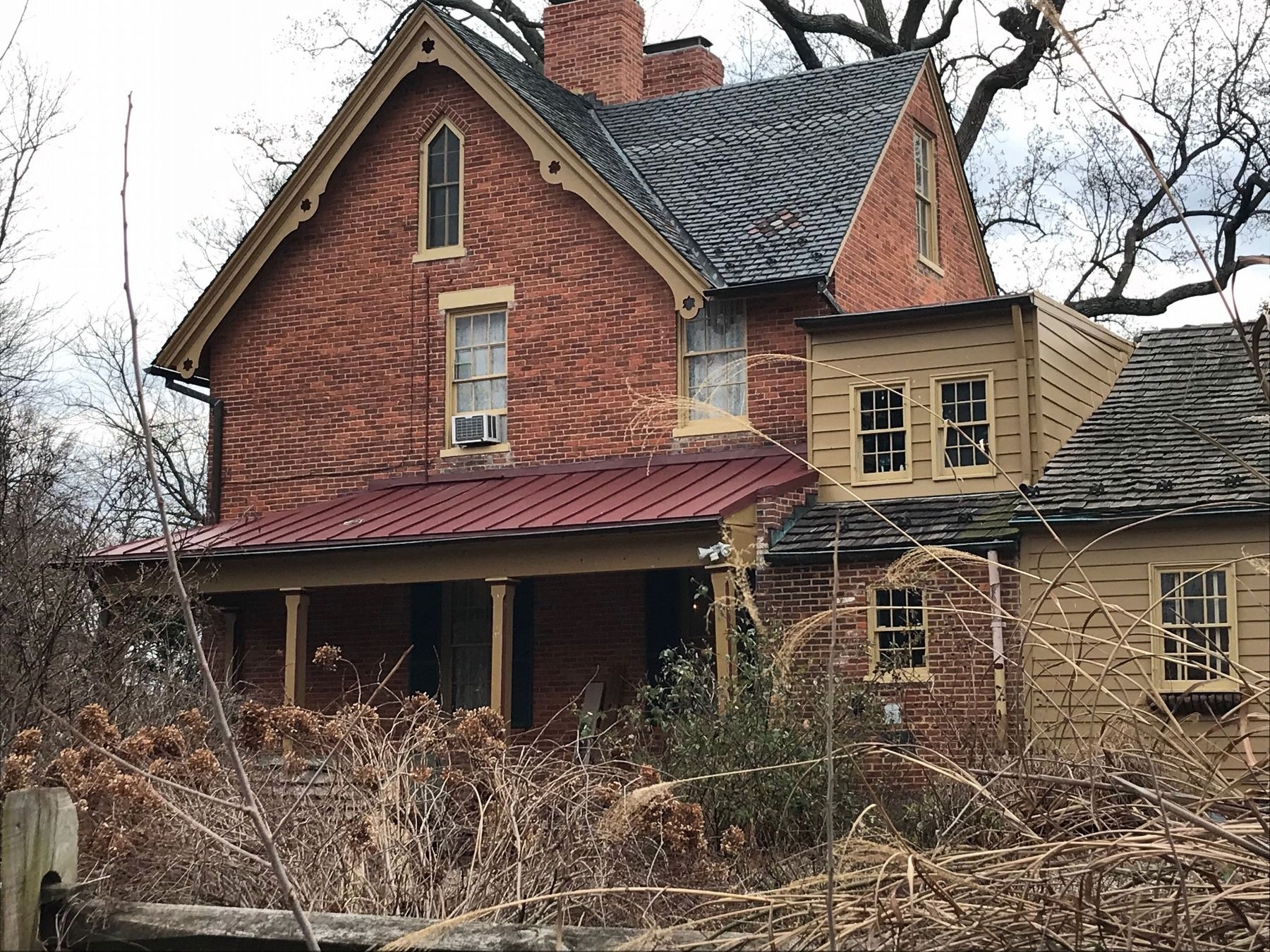
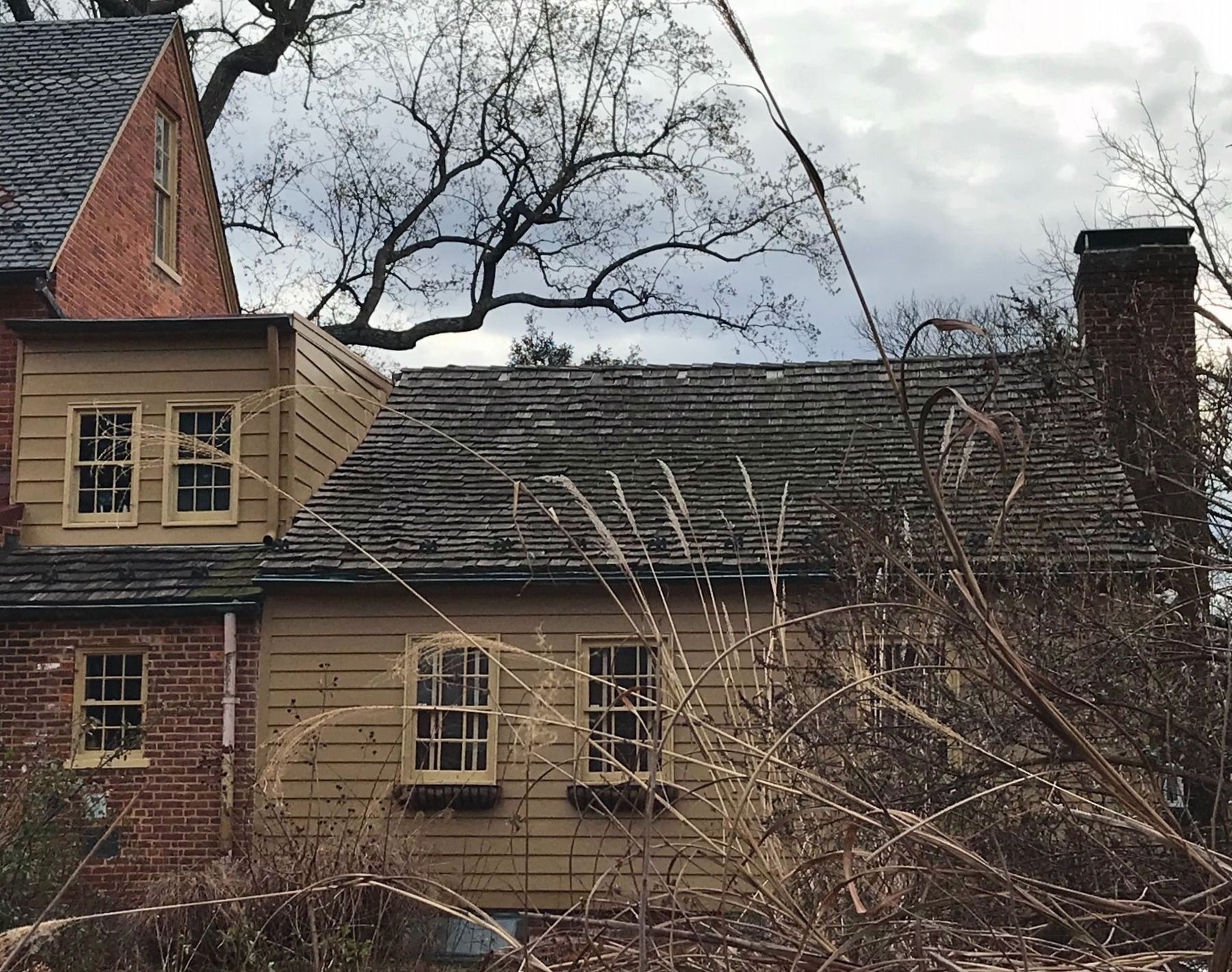
Mt. Hope consists of a portion of a 1½ story frame farmhouse c1831 joined to a 2½ story Gothic Revival brick house c1870 on ½ acre of the original 216 acre farm. The 1831 wing is the oldest residential building left in Falls Church and was the earliest stop on the local mail route. The farm was bought in 1842 by Amzi Coe who named it Mt. Hope and held meetings of the Presbyterian church in the parlor. Wm. Duncan acquired Mt. Hope in 1869 and added the Gothic Revival wing in 1870. Duncan served as Mayor of Falls Church 1881-1882 and lived in the house until he died in 1902. In 1984 Mt. Hope was added to the National Register of Historic Places.
Erected by City of Falls Church; funding provided by Victorian Society at Falls Church.
Topics. This historical marker is listed in these topic lists: Architecture • Churches & Religion. A significant historical year for this entry is 1831.
Location. 38° 53.172′ N, 77° 10.913′ W. Marker is in Falls Church, Virginia. Marker is on South Oak Street, 0.2 miles south of West Broad Street (Virginia Route 7), on the left when traveling south. Touch for map. Marker is at or near this postal address: 203 S Oak St, Falls Church VA 22046, United States of America. Touch for directions.
Other nearby markers. At least 8 other markers are within walking distance of this marker. Living in Fear (approx. ¼ mile away); Hangman's Tree (approx. 0.4 miles away); Virginia Training School (approx. 0.4 miles away); West Falls Church Station (approx. 0.4 miles away); Tracks into History (approx. 0.4 miles away); This is the W&OD Trail! (approx. 0.4 miles away); Citizens' Bridge (approx. 0.4 miles away); Cherry Hill (approx. 0.4 miles away). Touch for a list and map of all markers in Falls Church.
Credits. This page was last revised on February 5, 2022. It was originally submitted on February 4, 2022, by Ronald D Anzalone of Falls Church, Virginia. This page has been viewed 206 times since then and 38 times this year. Photos: 1, 2. submitted on February 4, 2022, by Ronald D Anzalone of Falls Church, Virginia. 3. submitted on February 5, 2022, by Ronald D Anzalone of Falls Church, Virginia. • Bernard Fisher was the editor who published this page.


