Westchester near Los Angeles in Los Angeles County, California — The American West (Pacific Coastal)
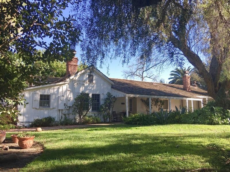
Centinela Adobe
The Birthplace of Inglewood
— House of the Rancho of Centinela Springs —
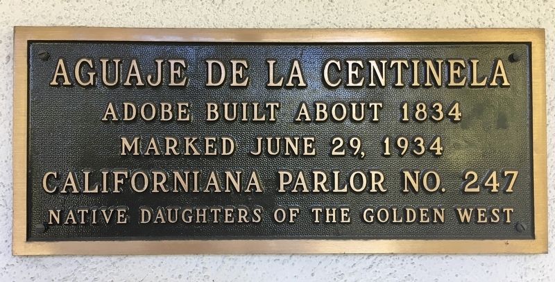
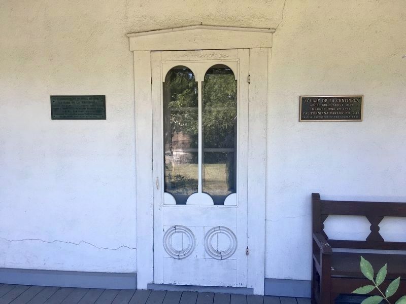
Aguaje de la Centinela.
Adobe built about 1834.
Marked June 29, 1934, California Parlor No. 247 Native Daughters of the Golden West.
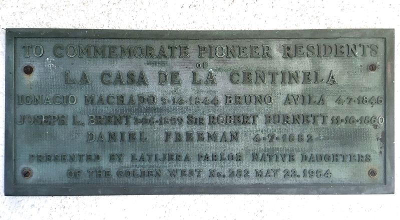
Pioneer Residents of La Casa de La Centinela
Ignacio Machado 8/14/1844. Bruno Avila 4/7/1845. Joseph L. Brent 3/26/1859. Sir Robert Burnett 11/16/1860. Daniel Freeman 4/7/1882.
Presented by La Tijera Parlor Native Daughters of the Golden West No. 282, May 23, 1954.
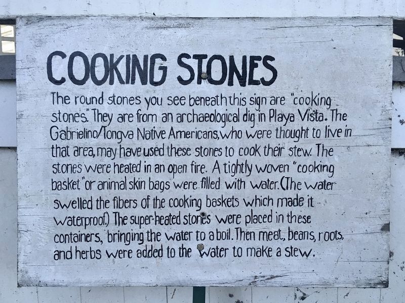
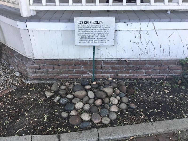
Cooking Stones
The round stones you see beneath this sign are cooking stones. They are from an archaeological dig in Playa Vista. The Gabrielino/Tongva Native Americans, who were thought to live in that area, may have used these stones to cook their stew. The stones were heated in an open fire. A tightly woven cooking basket or animal skin bags were filled with water (the water swelled the fibers of the cooking baskets which made it waterproof). The super-heated stones were placed in these containers, bringing the water to a boil. Then meat, beans, roots, and herbs were added to the water to make a stew.
Erected 1934 by La Tijera Parlor Native Daughters of the Golden West.
Topics. This historical marker is listed in these topic lists: Agriculture • Architecture • Notable Buildings • Settlements & Settlers. A significant historical year for this entry is 1834.
Location. 33° 58.057′ N, 118° 22.333′ W. Marker is near Los Angeles, California, in Los Angeles County. It is in Westchester. Marker is on Midfield Avenue, 0.1 miles south of Benjamin Avenue, on the left when traveling south. Located just west of the 405 freeway, south of La Tijera and north of Manchester Blvd. The adobe and grounds are open Sundays 2-4. Touch for map. Marker is at or near this postal address: 7634 Midfield Ave, Inglewood CA 90301, United States of America. Touch for directions.
Other nearby markers. At least 8 other markers are within 3 miles of this marker, measured as the crow flies. Flight Path (approx. 1.6 miles away); 1955 Academy Awards (approx. 1.6 miles away); Centinela Springs (approx. 1.8 miles away); 49th Fighter Group (approx. 2.2 miles away); The American Volunteer Group (approx. 2.2 miles away); Eagle Squadrons (approx. 2.3 miles away); Tuskegee Airmen (approx. 2.3 miles away); Capt. Lou Lenart, USMC (Ret.) (approx. 2.3 miles away). Touch for a list and map of all markers in Los Angeles.
Regarding Centinela Adobe. Ignacio Machado built this adobe home overlooking the Centinela Creek in approximately 1834. Official title to the Rancho del Aguaje del Centinela's 2000 acres was granted in 1844. The small Rancho was sold and purchased several times before California became a state in 1850. In the midst of the Civil War, Robert Burnett, a Scottish Baron's son, purchased the Rancho Centinela. He added a new kitchen to the adobe for his wife. Robert's purchase of the larger rancho to the south, the Rancho Sausal Redondo, enlarged the rancho by 22,438 acres, bringing the total to 24,438 acres. When news came that both his father and older brother died, Robert returned to his childhood castle home in Scotland. He leased the Rancho to Daniel and Catherine Freeman (with purchase option).
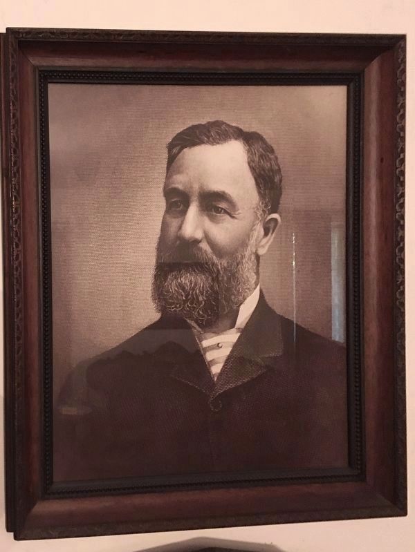
When a severe drought killed the sheep which came with the rancho, Daniel Freeman began dry-farming barley. Soon a million bushels of barley were being shipped as far as Europe. Daniel became the third President of the Los Angeles Chamber of Commerce. By 1888 Daniel agreed with Henry Huntington that the best railroad route from downtown Los Angeles to Redondo Beach for the Southern Pacific Railroad would be across Daniel's Rancho. This same route has recently been repurposed to accomodate the Los Angeles Metro Line for access to Los Angeles International Airport.
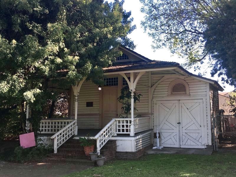
While living in this Adobe, Daniel Freeman envisioned the creation of the Inglewood township. To help make the plan a reality he built the Train Depot, Land Office, and Boarding House. Daniel also built his three-story, 21-room mansion closer to what was to become Inglewood's Commercial Street - today known as La Brea Avenue. The Mansion remained until 1972.
The adobe was added to the National Register of Historic Places in 1974.
Also see . . . Centinela Adobe. Open Sundays 2-4. (Submitted on February 7, 2022.)
Credits. This page was last revised on March 20, 2024. It was originally submitted on February 6, 2022, by Craig Baker of Sylmar, California. This page has been viewed 275 times since then and 29 times this year. Photos: 1, 2, 3, 4, 5, 6, 7, 8, 9. submitted on February 6, 2022, by Craig Baker of Sylmar, California.
